


Besaya Greenway

 4 Votes received
From the sea to the mountains through Cantabrian lands
A magnificent route from the sea to the mountains — or the other way round — alongside the riverside woodland that lines the left bank of the Besaya and Saja rivers and the San Martín de la Arena estuary.
NOTICE (02/2026): Greenway closed due to environmental restoration project works between the Torrelavega exit towards Puente San Miguel (Reocín) and the church of Torres (Torrelavega). Please use the alternative route with caution as it is shared with motor vehicles.
Basic Facts |
|
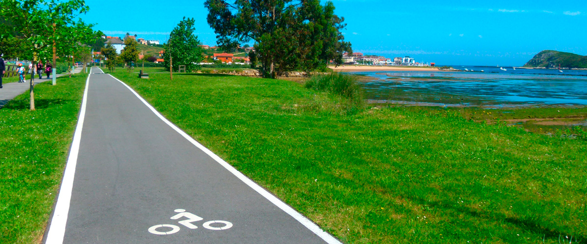
| 20.15 km: 8 km Greenway + 12 km pedestrian cycle path | |
| Suances – Barros (Los Corrales de Buelna), passing through Santillana del Mar, Torrelavega, and Cartes Cantabria | |
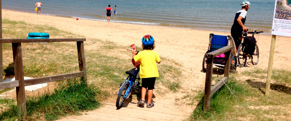
| Walkers, skaters and cyclists | |
| Note: Steep incline at the access to La Viesca Park | |
| Asphalt and compacted earth | |
| Northern Way of St. James | |
| 43.42567, -4.034613 | |
| 43.285858, -4.076207 | |
|
|
|