


Castro-Traslaviña Greenway

 1 Vote received
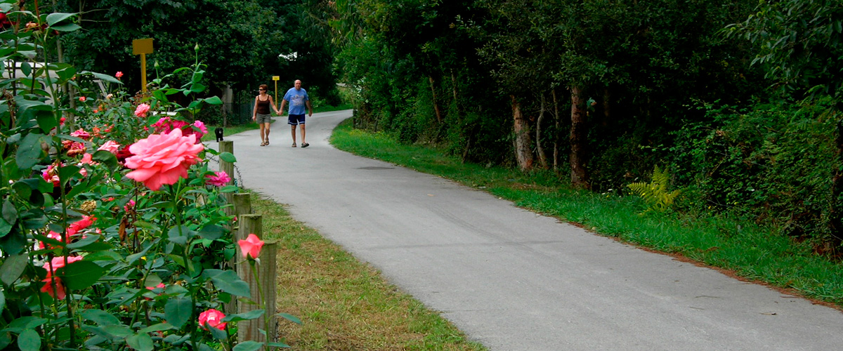
On the trackbed of a former mining railway that once descended from the high Cantabrian mountains through meadows and forests to the coastal loading docks
Transporting ore from the high mountains of Cantabria to the coastal loading docks of Castro Urdiales was the task of daring mining trains, whose abandoned tracks give way to spectacular and little-known routes near fishing villages such as Castro.
Basic Facts |
|
| 8,45 Km | |
| Brazomar district – Herreros tunnel (border with Bizkaia), via Otañes Castro Urdiales. Cantabria | |
| Walkers, cyclists, suitable for people with reduced mobility. | |
| Note: only fully accessible between Santullán and Mioño station | |
| Compacted earth and asphalt | |
| Former railway to Castro Alén, via the asphalted track descending from the Los Corrales neighbourhood to the CA-250 road | |
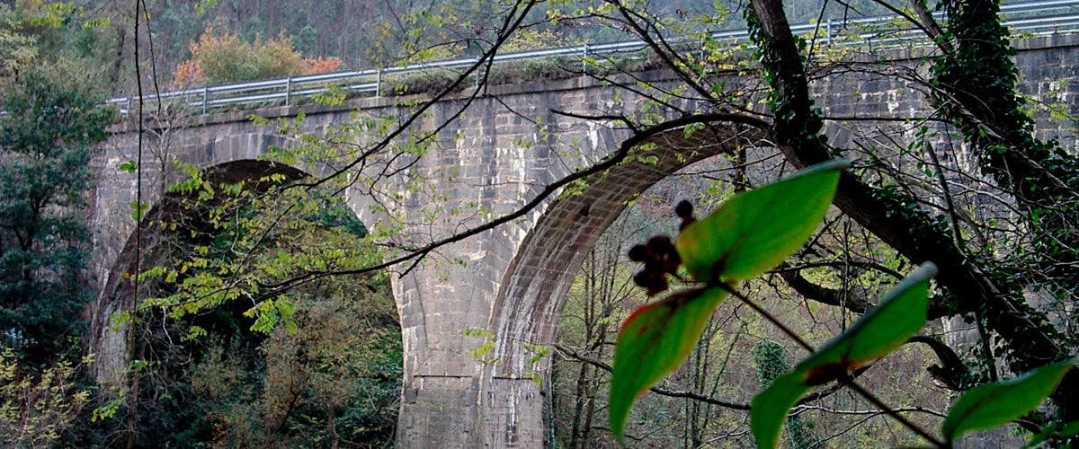
| 1 viaduct, 1 bridge y 1 tunnel | |
| 43.368519, -3.21549 | |
| 43.368519, -3.21549 | |
|
|
|