


Ojos Negros Valencia Section Greenway

 9 Votes received
The valley of the Palancia River is the setting of this section that runs along the Sierra Menera mining railway. From the Barracas plateau, at the foot of Sierra de Javalambre, the Ojos Negros Greenway descends to Valencia’s fertile vegetable gardens and orchards on the shores of the Mediterranean; it connects with the Xurra Greenway and thereby reaches the city of Valencia.
NOTICE: Temporary diversions due to works on the ADIF railway line between Teruel and Sarrión. Please pay attention to the signs along the route!
Basic Facts |
|
| 76.65 km + 14,5 km connection from Albalata dels Tarongers to Puçol, where you can link up with the Xurra Greenway | |
| Barracas (Castellón) - Albalat dels Tarongers (Valencia) via Torás, Caudiel, Benafer, Viver, Jérica, Navajas, Altura, Segorbe, Soneja, Sot de Ferrer, Algar de Palancia, Alfara de la Baronia, Algimia de Alfara and Torres Torres. Castellón - Valencia. Valencia Region | |
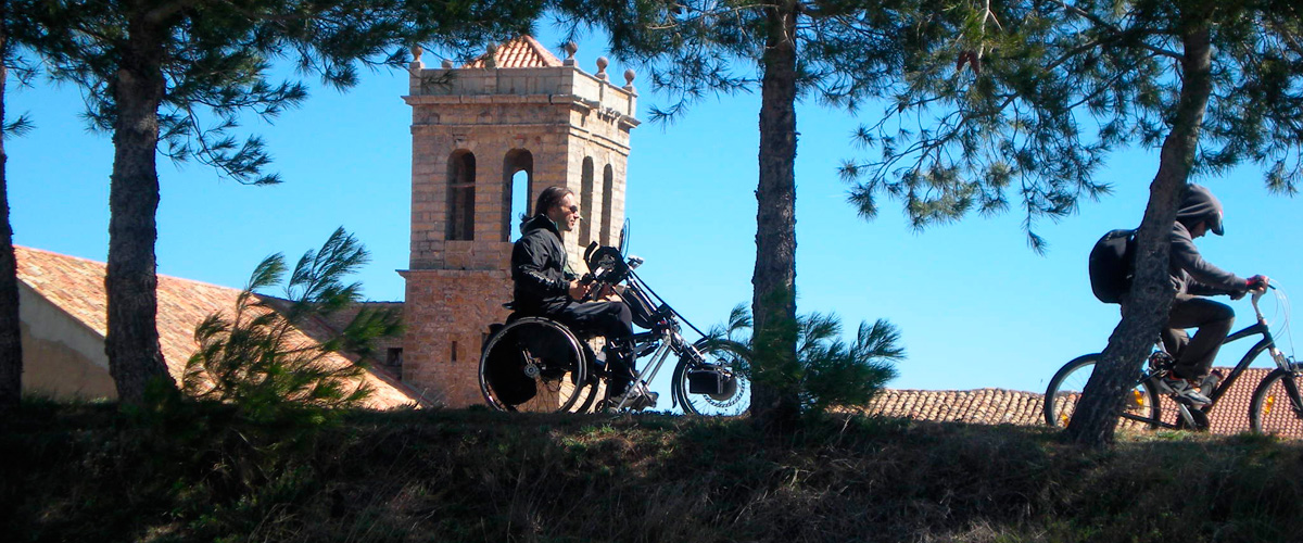
| Trekkers, cyclists | |
| Suitable for persons with reduced mobility (except for some ramps outside the original route) and the last kilometres that do not follow the railway route | |
| Asphalt and compacted earth | |
| Ojos Negros Greenway (Aragón Section) and Xurra Greenway via the 14,5 km route connecting two greenways | |
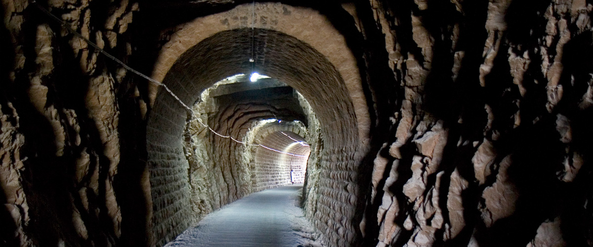
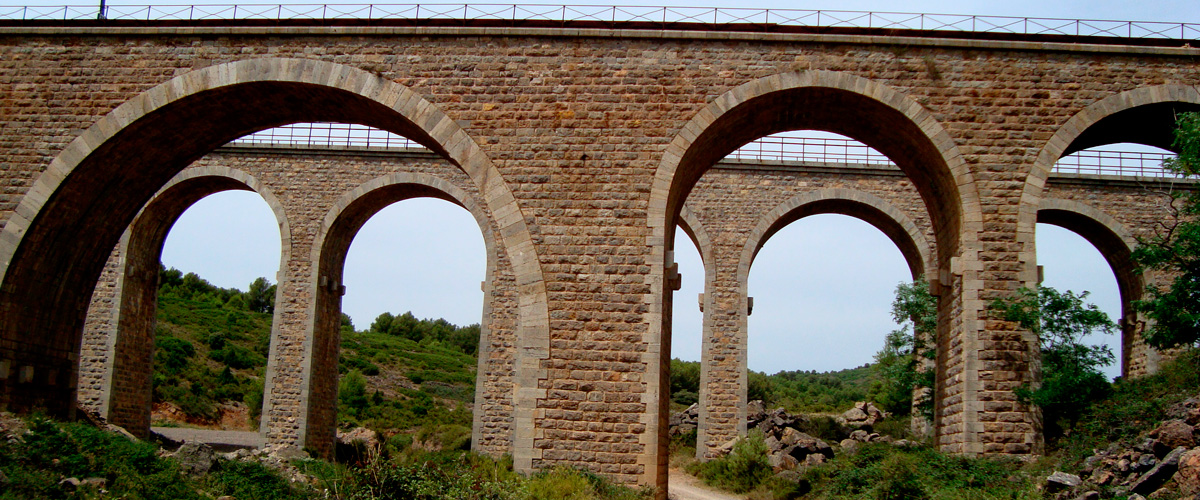
| 17 tunnels, 8 bridges and 1 footbridge | |
| 40.041425, -0.731291 | |
| 39.698712, -0.342572 | |
|
|
|