Arditurri Greenway
Route Description
 The old train went down from the iron mines of Arditurri to the port of Pasaia, to unload the ore onto the ships thanks to a metal dock that no longer exists. In relation to the original route, the entire countryside section has been upgraded as a greenway, specifically, the section that goes from the mines to the roundabout where the GI-2132 and GI-3633 roads converge. To get our bearings, we should know that this is where the Exit 13 (Oiartzun) of the A-8 motorway is located, in the vicinity of the Arragua neighbourhood.
However, the urban route of the Arditurri railway line has not been upgraded. The urban development process itself and several impassable tunnels have not left room for its use as a greenway. However, instead of this evicted section, as an alternative we have the bidegorri (bike lane), which starts in the monumental centre of Lezo, follows the Oiartzun River from Errenteria and connects with the original route of the old railway. There is also another option to get to this greenway; from Pasai Antxo, which in turn is linked via a bidegorri with Donostia-San Sebastián.
Departure from Lezo, passing through Errenteria
Lezo stands proudly on the port bay of Pasaia, a precious example of a natural bay on the Basque coast, and at the foot of Mount Jaizkibel, the highest on the Cantabrian coast. This town has exquisitely preserved its historic centre, an urban ensemble of narrow streets and houses blazoned with coats of arms that is centred on the parish church of San Juan Bautista, the Basilica of Santo Cristo and the square of the same name, the social epicentre of this locality and the starting point of this route (km 0).
From Santo Cristo or Gurutze Santuaren Square, Zubitxo Street rans past wooden balconies, overhanging eaves and colourful flowers to a bidegorri, painted in red, that goes around the town centre along the G.2638 road (Jaizkibel Avenue), changes to the other side of the road and goes up to the roundabout above the N-I road.
At the roundabout, after crossing the turn-off to Altamira and taking the GI-363 road towards Irún, the bidegorri goes down alongside the railway tracks as far as Lezo-Errenteria Station. In front of the train station, it changes to the other side of the road and, now immersed in the streets of Errenteria, descends to the place where the old N-I road (Navarra Avenue) and the channelled Oiartzun River (km 1.1) meet; upstream, this watercourse will guide our route for many kilometres. We will follow the river through the bustling town of Errenteria: first, flanked by the narrow medieval streets of its historic centre, declared a monumental site; and then, through the gardens and groves that surround the undergrowth, a green area that has banished the memory of the factories of what was formerly called "little Manchester."
At km 2.7 the bidegorri says goodbye to Errenteria and passes, successively, under Faderia Avenue, the railway track and the A-8 motorway, before crossing the Oiartzun River via a metal footbridge. On the other bank, the route skirts an industrial estate without leaving the river and safely crosses the GI-2132 and GI-3631 roads through underpasses.
The valley of the Oiartzun River
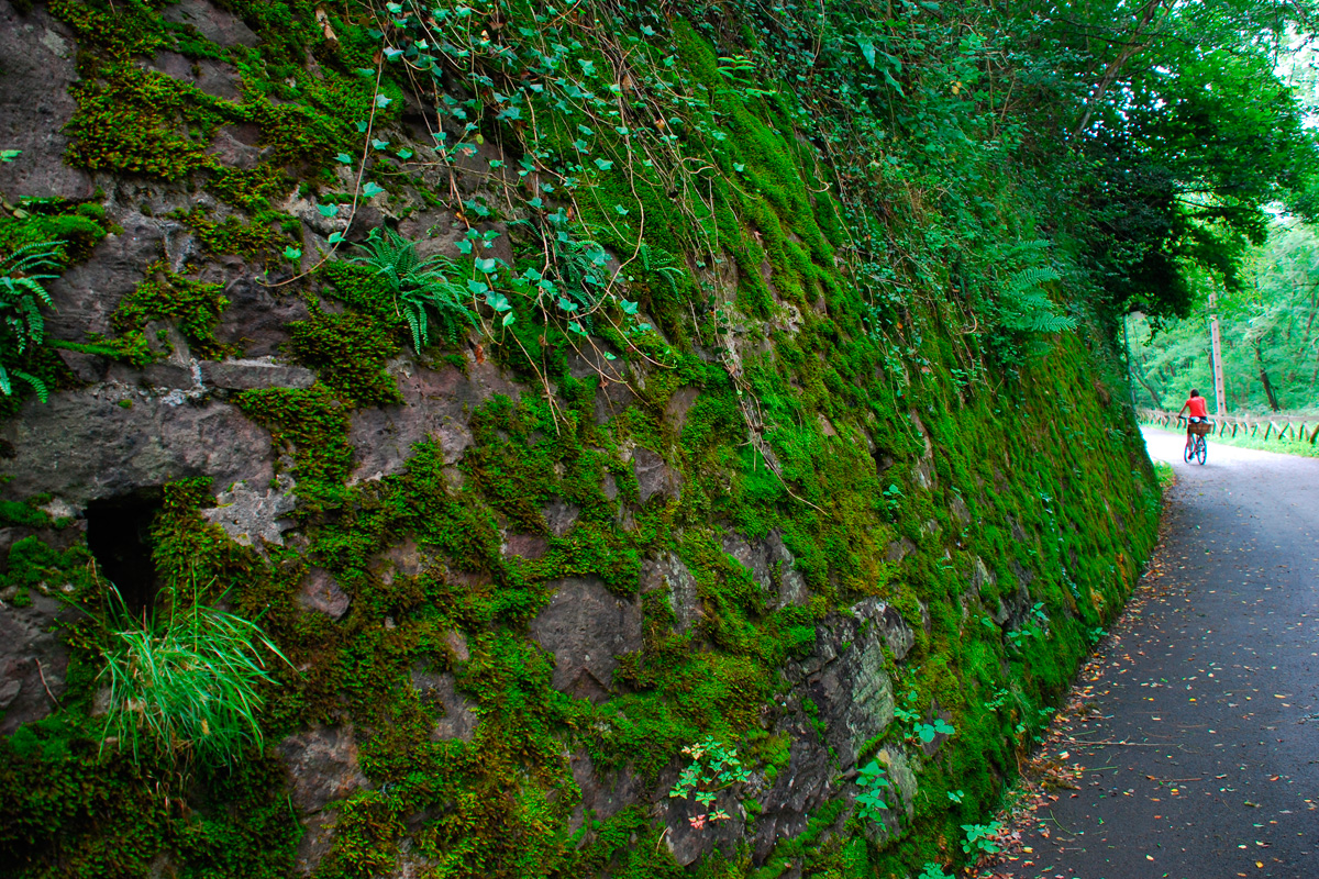 On coming out of the last underpass, the route leads to another transversal bidegorri that is also asphalted (km 3.4). We are now faced with two options: on the left, a branch of just one kilometre stretches as far as the neighbourhood and station of Arragua; on the right, the greenway finally makes the original route of the Arditurri railway its own. To answer any questions or satisfy our curiosity, at this crossroads there is a panel about the route, which is known in these parts as Arditurriko bidegorria (or Arditurri bike lane).
Finally, on the old railway line, the Arditurri Greenway continues near the Oiartzun River, a crystal-clear and murmuring watercourse marked by a dense grove of oaks, ash trees, hazelnut trees, plane trees, poplars, acacias and alders. Dense greenery capable of even hiding the warehouses located on the other shore in the Ugaldetxo neighbourhood.
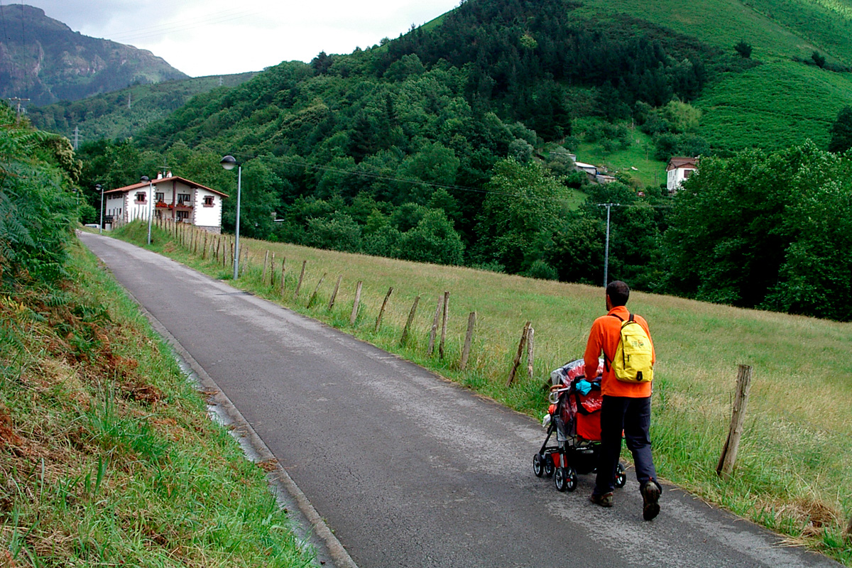
Before our eyes, however, we have a landscape full of green meadows and woods featuring scattered farmhouses. The vivid and idyllic image that one expects to find in the rural Basque Country.
At around km 4.3, the greenway crosses the access road to Elizalde, via a level crossing, passes by a park on the left, above which the bell tower of the Church of San Esteban de Lartaun rises up, and splits into two to enter through two parallel tunnels. Here is irrefutable proof that the mining railway of Arditurri, in this section, ran parallel to the also extinct mining-timber railway of Artikutza. That is why each one had its own tunnel. This has provided a very practical way of separate cyclists and pedestrians, thereby avoiding conflicting traffic in these narrow galleries.
The Arboretum
The greenway emerges at Txara de Mendibil, an oak and ash grove that used to be used to extract timber. In short, an open panorama whose most striking aspect is the rows of trees bordering the asphalted lane. This arboretum proves to be a shady, outdoor natural encyclopaedia: 125 plant species ranging from the most primitive tree, the Virginia tulip, passing through magnolias, laurels and bananas, to the blue holly, the most evolved vegetable.
Halfway along the tree walk, the greenway crosses the road that goes down to Iturriotz (km 5.4), a neighbourhood in which the tower-houses of Iturriotz and Makutso stand out; and almost at the end of the botanical route (km 5.6), there is a pleasant resting area featuring services, a fountain and benches, where the access to Elizalde is located. The ascent to this town, the main urban centre in the municipal district of Oiartzun, takes a lot of effort. However, a walk through its old town and its large, monumental ensemble will truly enhance our visit.
Back at the greenway, the arboretum ends at the level crossing over the Elizalde-Altzibar road (km 6) Here we have the possibility of taking another break to visit Altzibar, a secluded neighbourhood where the Oiartzun River used to energise the Ugarte waterwheel.
On the way to Ergoien and Aiako Harria Nature Reserve
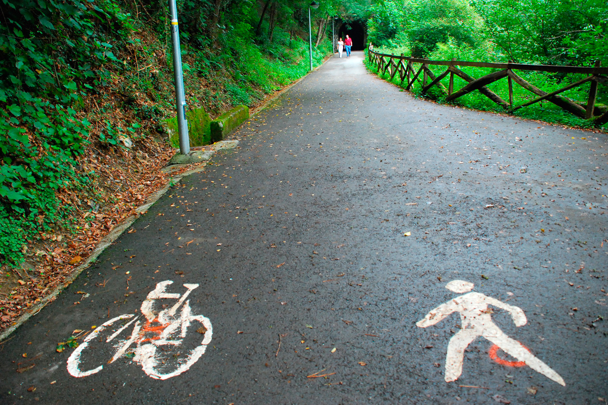
The greenway advances through green meadows until the junction of the road to Altzibar and the GI-3420 road (km 7). This is the strategic location of busy restaurants, worthy ambassadors of Basque cuisine where you can enjoy replenishing the energy you have consumed. Be careful at the level crossings over both roads. The greenway, accompanied by a panorama of pastures and scattered farmhouses, continues along the GI-3420 road as far as Ergoien (km 8). In this neighbourhood of Oiartzun we can visit Soinuenea-Popular Music Centre and the Luberri Geological Interpretation Centre.
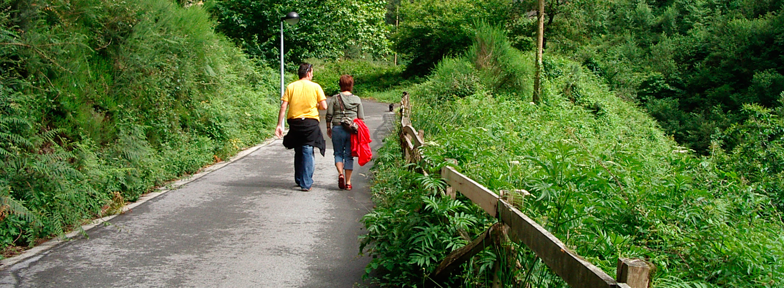
After passing by Ergoien, the landscape changes radically. We leave behind all traces of urban life and the open meadows to immerse ourselves in the exuberant nature of the Aiko Harria Nature Reserve (Aia crags). The greenway makes its way through a narrow gorge pressed between steep mountain slopes. It becomes terraced at a certain height, like a balcony over the river, which is hidden here by a green tangle of vegetation. The route increases its slope considerably and winds around slopes copiously covered by heather, plane trees, chestnut trees, alders, hazelnut trees and acacias, nature in its purest form that endows this section with great plasticity. Photos are guaranteed in this damp, green setting.
The gorge of the Arditurri River
Around km 9.3 the greenway come across another tunnel, the first of a long series, and changes the Oiartzun River for the Arditurri River, which runs through a gorge even narrower and wilder than the previous one. An area that is so beautiful and hostile that the route must continue winding its way over the difficult terrain and, when necessary, digging long trenches that are now lined with moss. Up to four more tunnels of different lengths are needed to traverse the steepest mountain ridges. Galleries that will produce cold and cavernous sensations, especially the penultimate one, which is very long and curved.
Featuring magnificent views of the vertical granite walls of the Aia or Aiako Harria crags opposite us, the greenway finally reaches the mining complex of Arditurri, where it ends (km 11), the perfect finish to this wonderful excursion.
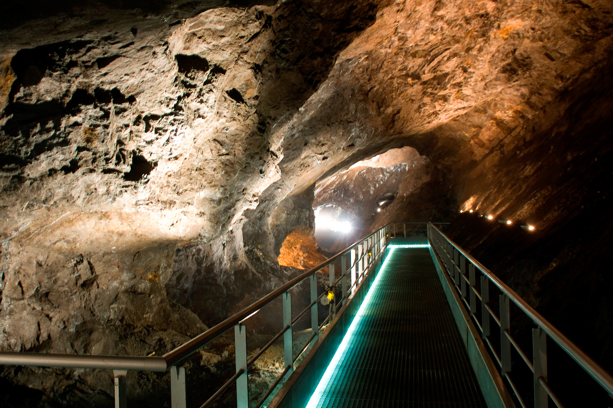
The old mining laboratory building has been refurbished as an interpretation centre of the Aiako Harria Nature Reserve and the Arditurri mines. It provides information about the reserve’s heritage, cultural and natural attractions. The icing on the cake is the immersion in the heart of the Roman mines of Arditurri. The guided tour begins in Gallery 20 or “Mina Grande,” where we will have to put on a mining helmet –it will be fun! Visitors will discover the morphology of this mine from which silver was extracted and its large size. Every step along the way, the lights will reveal the secrets that are hidden in the darkness: old loading bays, pits, veins of minerals or an impressive landscape of lakes. A must-see! There is another type of visit called "the mine in depth," in which you can access another gallery on a lower level. It is worth nothing that, contrary to what you would expect, this visit to the mine is completely accessible.
