Ferro i del Carbó Greenway Nature Trail
Route Description
 Like all good greenway routes, the Ferro i del Carbó Greenway starts at a train station, Ripoll in this case. Before leaving its platforms, it is worth looking at the other side of the tracks and contemplating the beautiful building that was built as the railway to Puigcerdá’s main station. This building, stripped of its railway functions, departs a little from the usual aesthetic canons of railway architecture, recreating itself in the evocation of Romanesque art, so present in this beautiful Pyrenean town. To the right of this building, on a pedestal, there rises locomotive 1006, a real monument to the veteran machines that, from the twenties until relatively recently, climbed tirelessly up these railway ramps. This electric locomotive was one of 7 built by CAF in 1927 to serve the Ripoll-Puigcerdá line, whose electrification was carried out in 1929.
On the platform, to the north, we see how the main line, the one that continues alongside the platform, is interrupted by a buffer a few meters away. This is the old line to Sant Joan de les Abadesses. Since it is a bit bothersome, and even dangerous, to walk on the rails (let alone pedal), we will leave the station and continue, to the left, along Progres Street and take the first street on the left, Ter Street. In just 20 metres, it connects with Passeig de Sant Joan: the railway line’s route.
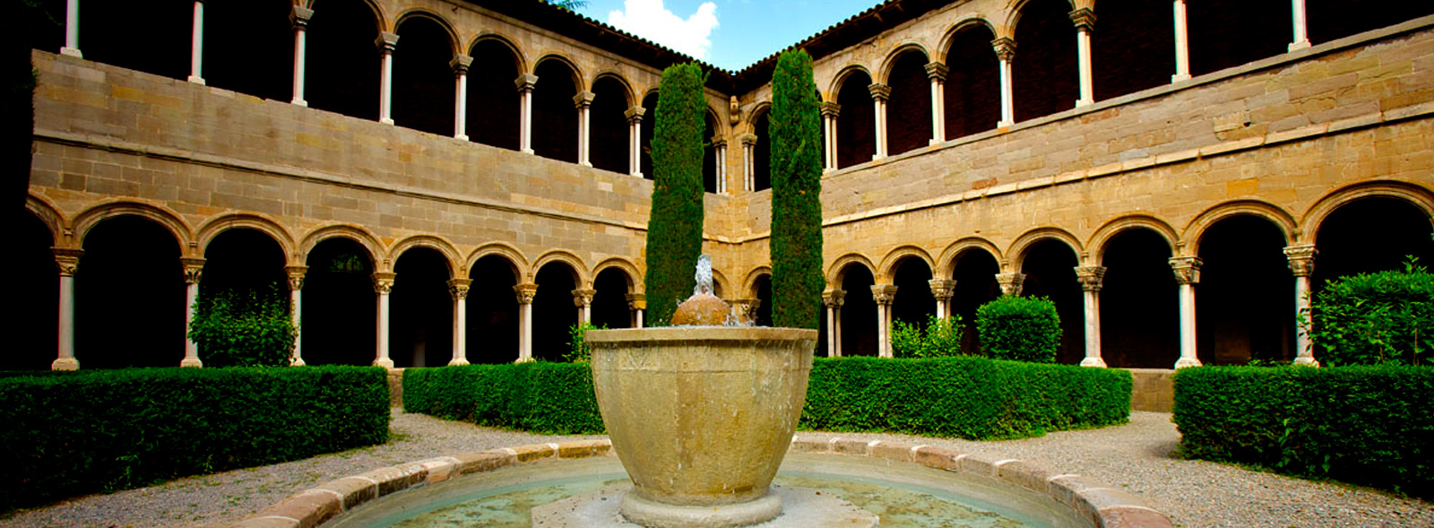
The old railway line runs through the streets of Ripoll converted into an avenue, whose lampposts seem to evoke the old poles that supported the railway power lines. But first it is worth crossing the Ter and entering the historic centre of Ripoll, with an obligatory stop at the monastery, one of our country’s Romanesque jewels.
On the Greenway
 The traveller will arrive at another intersection with Progres Street, next to an evocative statue of the sardana dance. From here, the hitherto safe pedestrian space becomes a street open to road traffic. At this point it is worth leaving the way free for cars and ascending, on the right, to an upper level of the street that serves as an approach road to a development of low-rise houses. At the same time, this road with hardly any traffic give us better view of Ripoll’s historic centre, where the monastery tower stands out majestically, crowned with a large Catalan flag that flutters joyfully in the Pyrenean wind. On this street we will reach a roundabout where traffic increases (be careful!). This is the C-151 relief road, which follows the railway route for about 2 km.
This point marks the beginning of the Ferró i del Carbó Greenway (km 0). On the left side of the road, there begins an asphalt track flanked by two strips of grass. An underpass has been built a few meters away, which makes life easier for travellers. Where the railway bridge over the Carboneras (or Los Pintores) Ravine once stood, the greenway is located on the right of the road, leaving it for good about 500 metres further on.
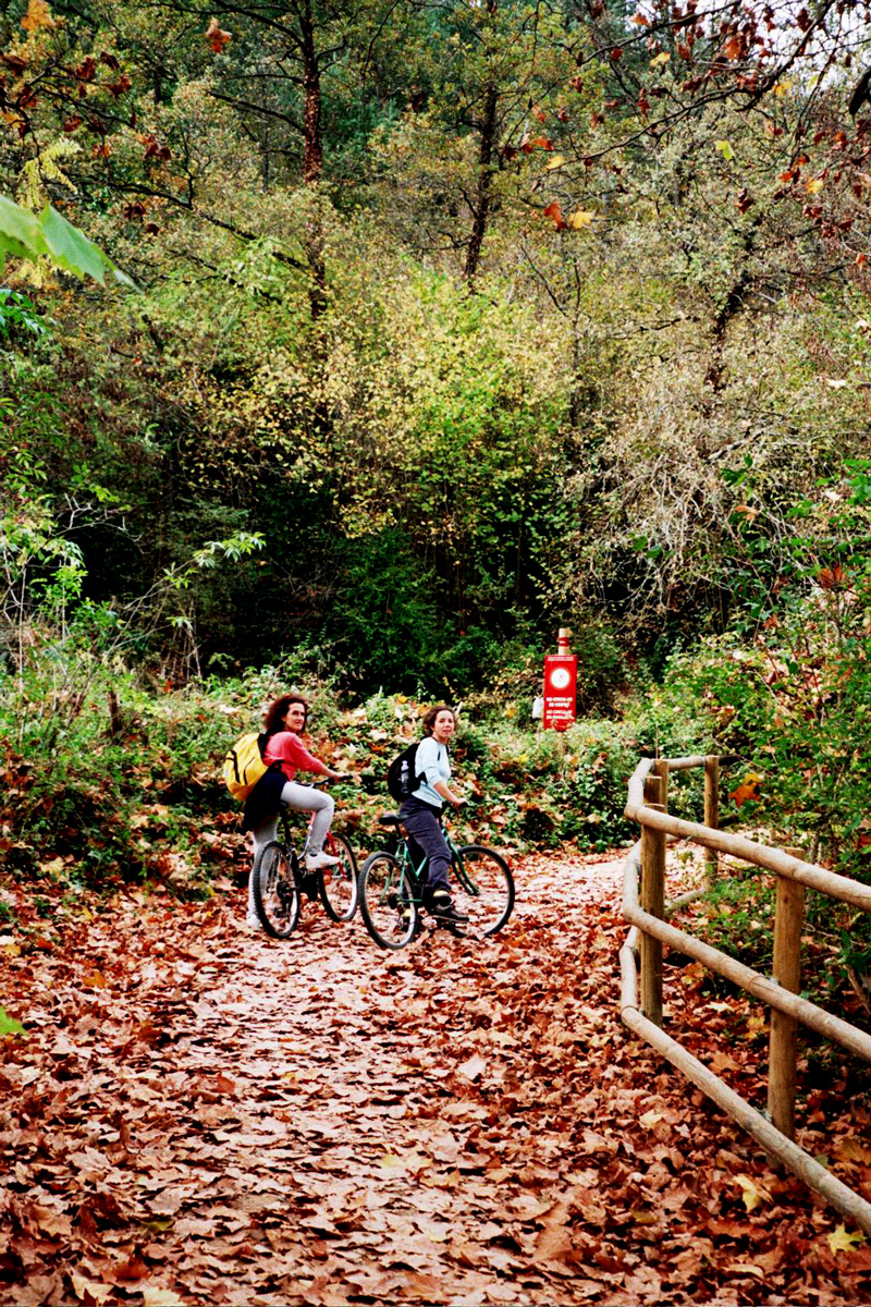
Where the road and greenway separate, a 2-metre-wide asphalt strip, bordered by two grassy areas, invites us to enter such a pleasant route. Incidentally, old wooden railway sleepers are used to prevent vehicles from entering the greenway, giving it a more railway-like atmosphere, an intentional detail that constantly reminds us that we are travelling along an old railway line. As if that were not enough, almost all the kilometre signs that Renfe erected next to the tracks have been preserved. It is true that the signs indicate the distance from Barcelona rather than Ripoll. Thus, it should not surprise us that the first kilometre is kilometre 108.
Towards the Ter and Sant Joan
The route enters a rural landscape, featuring meadows and wooded patches that hang down from the slopes of the Cabezo de las Fosas. Shortly before reaching km 109, about 4 km from Ripoll, we leave the first wooded area behind, a section in which the greenway overlooks the still waters of the Ter. A small house in ruins signals the presence of an old level crossing leading to the place called Les Solses. After the crossing, the greenway returns to flatter terrain, surrounded by meadows that only lose their green colour when the snow covers them in the cold winters.
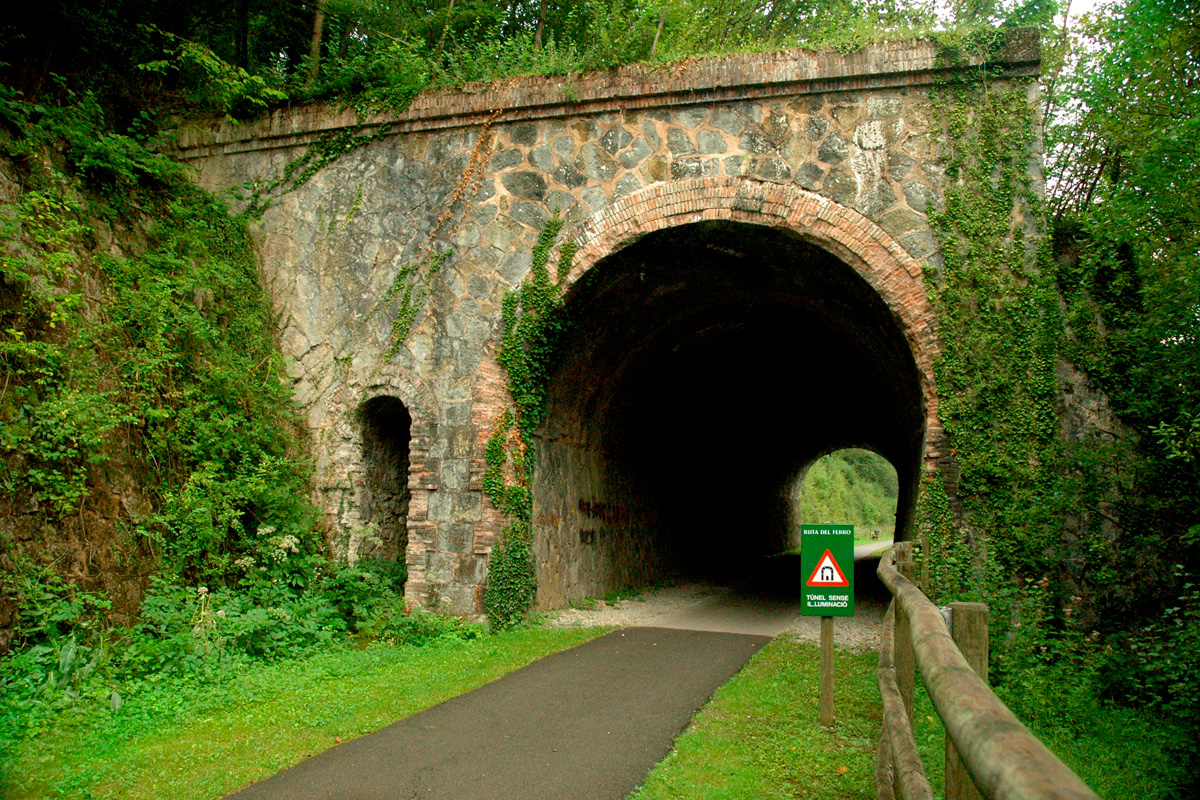
After the meadow area, the route is wedged between the riverbank and the steep hillside. Thus, the railway engineers were forced to build a cut-and-cover tunnel (49 metres). On the other side, the greenway leaves the vicinity of the river. In this area, the entire width of the track has been asphalted, enabling rural vehicles to drive to some nearby farmhouses, which now take advantage of the magnificent iron bridge over which the railway crossed the Ter. This bridge, located 6 km from Ripoll, has been adapted for the use of vehicles, along with which we will cross the river at a good height. The low railings and, above all, the lack of the old service walkway will make it necessary to cross with caution.
On the other side of the bridge, the greenway runs parallel to the road, which we will avoid thanks to the recent construction of an underpass. After passing this intersection, the greenway recovers its usual placidity, surrounded by meadows and forests. It gradually rises above the level the road. The greenway now crosses a couple of ravines along high embankments. It is worth stopping to contemplate the view of Sierra Caballera, which rises majestically to the north.
 Ten km from Ripoll, the track enters the extensive facilities of Sant Joan de les Abadesses Station, whose old warehouse now houses a restaurant that evokes those old times, as well as a hostel and a bicycle rental outlet. And nearby, there is a children's play area. Located in the upper part of this town, it is almost a most to go down to the town, crossing the Ter by the spectacular Gothic bridge and wandering around its streets, where authentic Romanesque jewels await to be discovered.
It is worth mentioning that this section that runs between Ripoll and Sant Joan de les Abadesses is suitable for wheelchairs or adapted bicycles. Likewise, it also features interpretation posters in Braille for the blind or visually impaired.
Last station: Ogassa
The rest of the route was never open to passenger traffic. This section advances towards the Toralles Terminus, where a series of mining branches converged. In fact, the existence of this Pyrenean coal basin was the main reason for building this long railway from Barcelona.
The route to Toralles crosses the Ogassa road as soon as it leaves the station. From this point, the greenway gently goes up through the valley of the Malatosca, a tributary of the Ter that rises in Sierra Caballera. After about 500 metres, the track crosses the road again and about 2 km from Sant Joan, the greenway reaches the Toralles loading dock. This loading dock received minerals from the nearby Ogassa mining railway by cable car. From here, we enter an outstanding thematic section, surrounded by beautiful mountain landscapes.
The route continues as far as Ogassa for 4 km, but no longer with the quality of the previous kilometres. Although this route has also been upgraded, making its slopes gentler, it is recommended only for the fittest cyclists and trekkers.
In addition, work is already underway to link the 22-km section between this greenway and the Carrilet Olot – Girona Greenway. If we add to this the 39-km Carrilet Girona – Sant Feliu de Guíxols Greenway, we can travel from the high Pyrenees to the Mediterranean Costa Brava along than 150 km. A real network of greenways!
From Sant Joan de les Abadesses to the Camprodón Valley
As part of the process of extending the Girona Greenways, we can now enjoy another section between Sant Joan de les Abadesses and the Llaudet colony (2 km), a textile colony next to the River Ter. From there, a section of the Pirinexus cycling route takes us to Camprodón, where another 3 km of greenway begin that reach as far as the town of Llanars.
