Guadalimar Greenway Nature Trail
Route Description
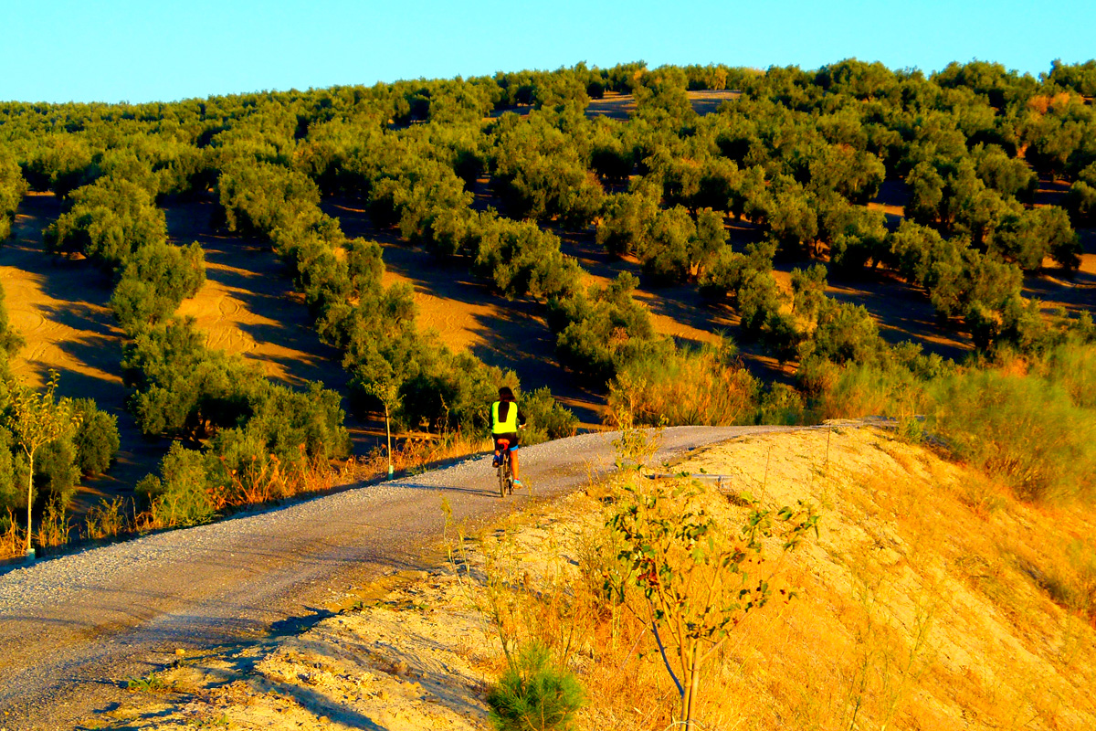
 On the old route of the Linares-Baeza – Utiel railway, which did not enter into service, the Guadalimar Greenway extends for 15.3 km, from Linares – Baeza Station to Horcajo in Begijar, completely dominated by olive groves.
About 350 metres from Paseo de Arquillos, at Linares-Baeza Station, and following the Arquillos road (J-9007), we will access the beginning of this greenway on the right.
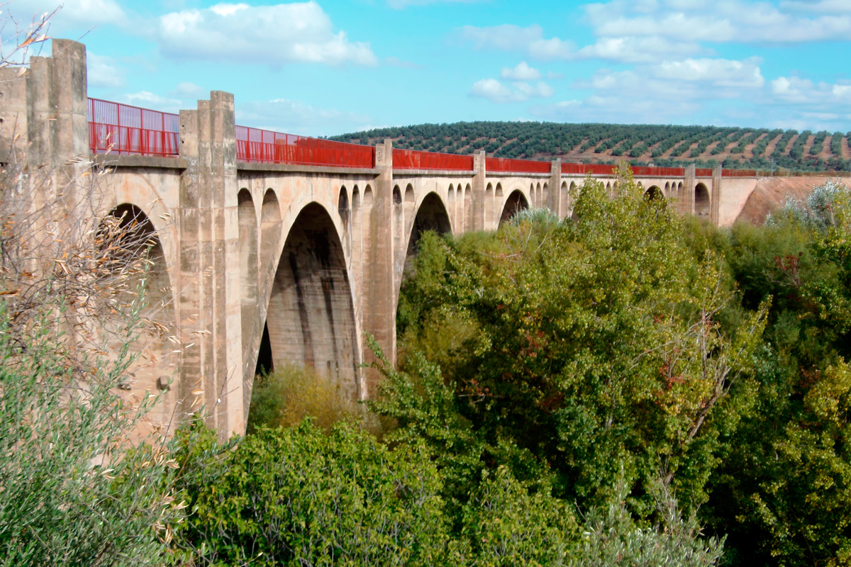
At this point there is no specific car park, but panels and signs identify the start of the route, located 150 metres from the underpass below the A-32 dual carriageway, next to a striking viaduct over the Guadalimar. It’s impossible not to see it! The beginning is impressive since we immediately enter the magnificent Los Barros viaduct, built with a curved shape and featuring a splendid view over the Guadalimar River.
After crossing the viaduct, the greenway continues in search of an alternative route under the new A-32 dual carriageway. After coming out of the underpass we will take the left track. This section is shared with other vehicles and runs parallel to the dual carriageway for about 200 metres before returning to the original route, as clearly indicated.
The next section runs through the flat plain on the left bank of the Guadalimar, between rows of olive trees, almond trees and cereal fields. Here the greenway enters a long straight stretch with two level crossings over roads with little traffic, thereafter coming to a robust bridge over the deep ravine of the Ibros Stream. Finally, it enters a straight tunnel (350 metres) without lighting. It is always advisable to bring a flashlight or lights on your bike.
The nearby hills drain into the Guadalimar Valley. It is not uncommon for torrential rains to occasionally damage the greenway in this stretch with heavy runoff. If so, watch out for any mud or obstacles that may come across!
Next to the Guadalimar River
 After coming out of the first tunnel (km 4), the greenway enters the most varied, rich and diverse section of the entire route. As providence would have it, before having our fill of olive groves, we now enjoy the icing on the cake of this route: the undergrowth of poplars, elms, ashes, willows and other species that grow next to the Guadalimar River; an ecological corridor so rich and varied that this greenway is name after it, although it only accompanies us for a few kilometres.
In an effort to accommodate itself to the winding Guadalimar, the unborn railway is terraced and rises on a slope on the left bank, and, in the absence of any support, it makes use of a long, curved viaduct (km 5) from which, thanks to its low height, we have the sensation of sailing on the river. Without a doubt, this exceptional viewpoint is the best place to fill our senses and to stop at the rest area before entering the long, second tunnel (296 metres).
After coming out of the tunnel, the greenway reappears in a more open panorama, where the nearby Guadalimar is filtered by olive groves. This will be a small parenthesis before it once again becomes a balcony overlooking the watercourse. From the rest area (km 6.6), there is an impressive perspective of the metal bridge of the active Madrid-Almería railway over the Guadalimar River.
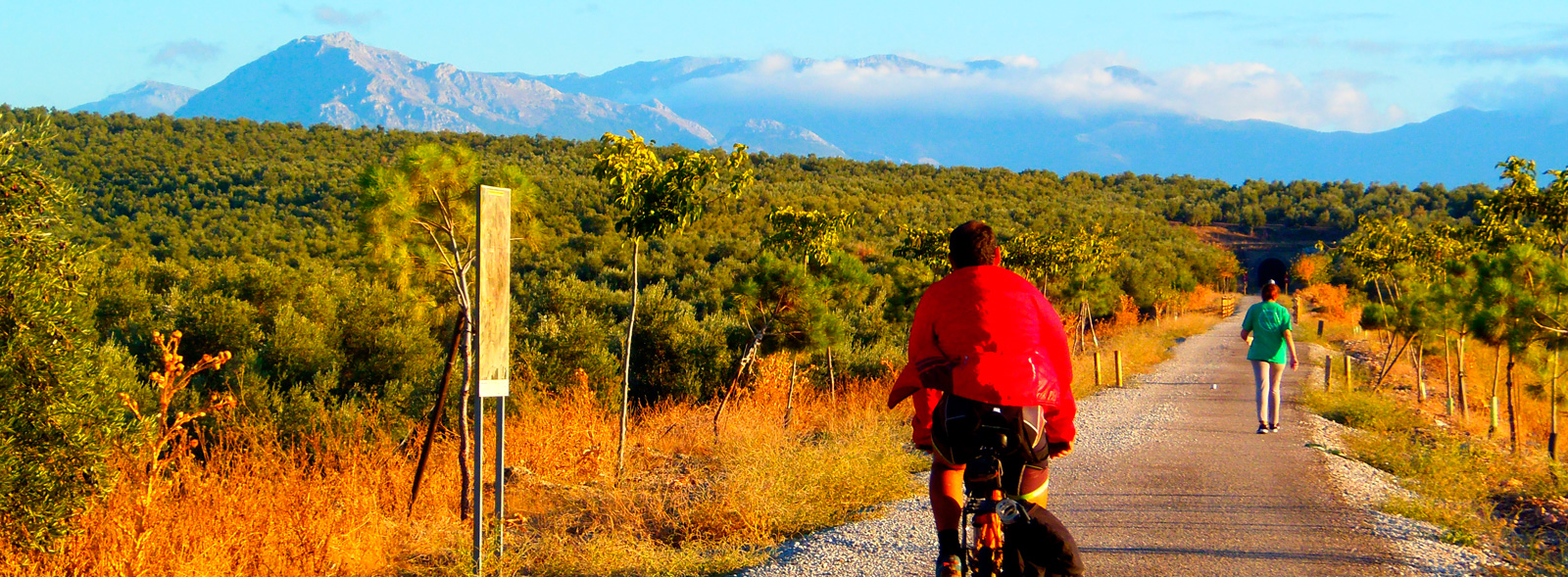
This romance between the river and our greenway ends in a trench that bends to the left (km 7), which points us towards the south. The greenway gradually moves away from the Guadalimar, giving us another good perspective of the mountainous horizon at the end of the wide fertile plain that fed the city of Cástulo, the ancient capital of Iberian Oretania that now lies dormant on the opposite bank of the river and which we can contemplate from the rest area at km 7.3. The ruins of the ancient capital of Iberian Oretania and the Tower of Santa Eufemia crown the hills on the opposite bank.
From the Guadalimar to the Guadalquivir
Then, at km 7.4, we cross the road leading to the hamlet of Guadalimar. From here, the greenway changes from the Guadalimar Valley to the Guadalquivir Basin, crossing hilly landscapes full of olive groves in the company of the Linares-Almería railway line.
With a somewhat more marked upward trend, the route enters a series of deep trenches, carved out of soft materials to the delight of the numerous rabbits that have dug their burrows there. After coming out of the last trench, the route heads towards the magnificent six-span viaduct that crosses the Lupión Stream (km 9.3), entering a long, curved tunnel (the third) that is 226 metres long.
At km 11.6 we cross the road to Torreblascopedro (JA-4103), which is 1.5 km away. This will be a good time to obtain any supplies that we might need. From here the greenway continues along a high, straight and long embankment, an almost aerial route that, with the silhouette of Torreblascopedro on one side and hills on the other, ends suddenly at the fourth tunnel (km 13), a 350-metre-long gallery that bends to the left.
A winding series of tunnels and embankments
After coming out of this gallery, the route extends its curvature towards the east. Without ceasing its upward tendency, the greenway runs through tunnels on the slopes that separate the ravines that that head down towards the Guadalquivir. The result is a very amusing route through the customary terrain of olive groves, alternating with a dynamic series of tunnels and high embankments featuring different views of the same horizon: the Guadalquivir Valley and the mountains that make up Sierra Mágina. Thus we will cross a short, fifth tunnel (km 14), followed by the corresponding high embankment, a sixth tunnel (km 14.5), another aesthetic curved embankment and, finally, a short, seventh tunnel (93 m).
The Guadalimar Greenway ends at the Horcajo rest area (km 15.3). There are no roads leading to here, but there are magnificent panoramic views. The old route continues north towards Sierra de Segura, but we have to be adventurous if we want to follow it since, from here on, the Linares-Baeza-Utiel railway line has not (yet) been upgraded as a greenway. The next section can be found from Arroyo del Ojanco to Reolid, a town in the province of Albacete.


