La Orkonera Greenway
Route Description
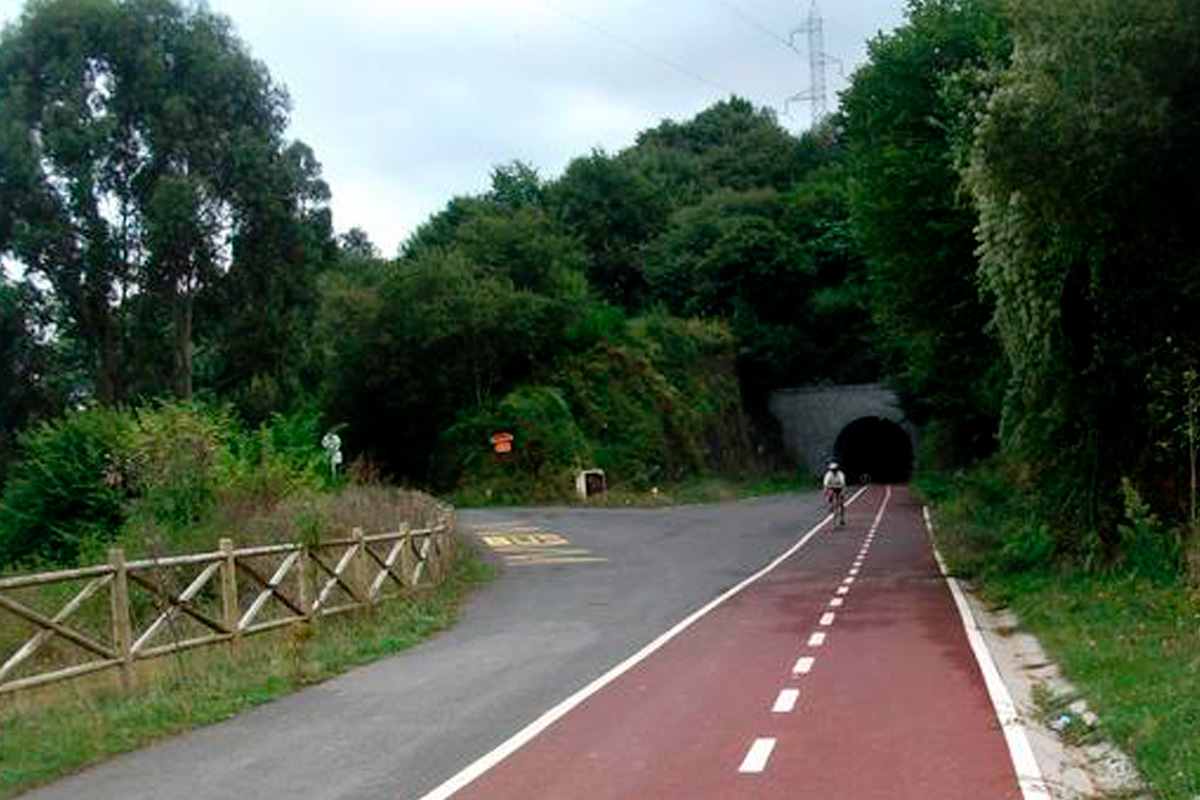 This Bizkaia Greenway, which looks like a bidegorri (bike lane), connects Trapagaran with the surroundings of La Orconera, Ortuella. It runs along the route of the old Franco-Belgian mining railway, which ran from Retuerto in Barakaldo to the mines of La Arboleda in Trapagaran.
From Greater Bilbao to the Triano Mountains
It is part of Bilbao's Green Belt, formed by green spaces integrated into the urban landscape and which, surprisingly, includes mountains, forests, reservoirs, rivers and streams, beaches, marshes and dunes, cliffs, etc. The main axis is the Bilbao Estuary, and they are connected to the urban space via undeveloped areas in these municipal districts, mainly parks and gardens.
The natural, semi-natural and rural landscapes that coexist today in Bilbao are very diverse and valuable, both for their uniqueness and for the natural elements that exist therein. The Orkonera Greenway will enable you to become acquainted with one of these outstanding spaces. This greenway runs next to the mountainside where pastures, farmhouses and Atlantic vegetation alternate. In the past, the Triano Mountains were the object of extensive mining work, until they were turned into a lunar landscape. Once mining stopped, nature once again covered the rubbish heaps and remains of industrial archaeology in green, while the craters of the old mines have been turned into placid lakes thanks to the seepage of groundwater. The Peñas Negras Interpretation Centre is a good resource to get to know and walk through this anthropized, but naturalised, environment.
Mining museums, tunnels and viewpoints
 If we decide to start the route at the eastern end (Ortuella), it is worth knowing that there is a car park next to the toll area of the “Variante Sur Metropolitana.” We can access the car park along an asphalted track that starts at km 11 of the BI-3747 road, next to a pillar and under the imposing concrete structure that supports the AP-8 motorway, very close to the roundabout on the N-634 road, almost in front of the northern entrance of the Ugarte-Ade industrial estate.
On the other hand, if we prefer to start at the western end in the Trápaga/Trapagaran Valley from the Ortuella-La Orkonera neighbourhood road, next to the Cadegal neighbourhood, there is a steep asphalt track that goes down to the start of the greenway (about 300 m).
Here we describe the route starting from the Trápaga/Trapagaran Valley to the Basque Country Mining Museum, which is an exceptional way to end this route.
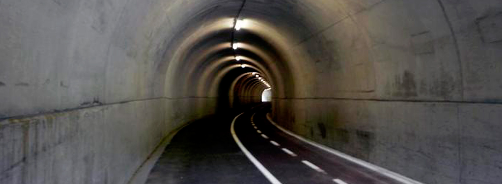
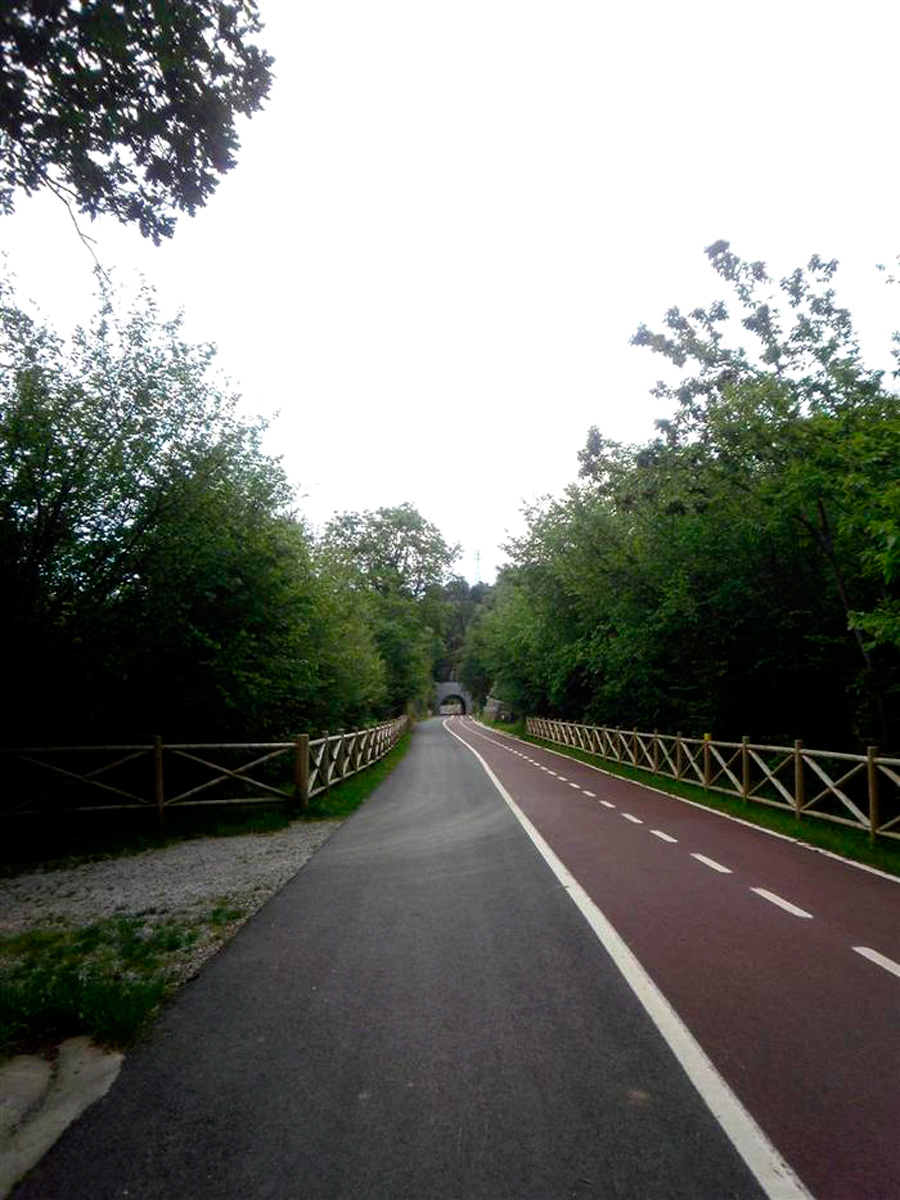
It really is a comfortable bidegorri with 2 bike lanes, 3 metres wide, and a pedestrian area about 2.5 m wide. Along the route you have to go through a total of 6 tunnels, all of which have lighting, activated by motion sensors, through which the old mining train used to travel. However, it is advisable to bring lights in case there is a technical problem. It also features 3 equipped rest areas where we can enjoy beautiful views of the villages on the left bank, which arose thanks to the iron of the Trajano Mountains.
The greenway begins by passing under the A-8 motorway. Very soon, a large 180º bend that characterised these old railway lines gives us the clue that the trains loaded with ore must have passed by here. However, the route is easy to identify. Just follow the asphalted bike path to the end. From the beginning, the wooded landscape makes us forget the nearby industrial estates of Greater Bilbao. We cross over road leading to the industrial estate, Ugare Alde, and a stream along a small bridge (km 1.5) before coming, a little further on, to the route’s first tunnel.
After coming out, we can stop at the Mirador Park (km. 2.5), an area featuring views, play areas and picnic tables. Immediately, the second of the tunnels appears while the greenway continues to be flanked by pleasant trees that will provide shade for a good part of the route.
After leaving the village of Halcón on the right, we will soon come across the BI-3755 road, which, although we will see it first on our right, we will then cross under it, without realizing, through another tunnel (and this is now the 4th). We are now at km 3. On coming out of the tunnel, a clearer area first, the 5th tunnel and then a more wooded area bring us closer to the end of the route.
The longest tunnel of all (the 6th) will be the route’s last railway element. Here, 4 km from the start and in the vicinity of the former ore dump of La Orconera, the greenway itself ends.
However, when the two-tone bike lane ends, a small road with road markings for pedestrians and bicycles, but with little traffic (although it is always advisable to be extremely cautious), covers the 2 km to the Basque Country Mining Museum, located in the Campodiego de Gallarta neighbourhood (Abanto-Zierbena). It is worth noting that the route outside the railway line has a couple of points with steep slopes of up to 12%. There are two short, but steep, slopes.
Without a doubt, this museum is highly recommended and an exceptional finishing touch to this excursion. But in addition, from here we have the interesting opportunity to connect with the Montes de Hierro Greenway. An itinerary of 42.5 km that enables us to reach the beach of La Arena in Muskiz if we take the greenway to the right, or the Traslaviña stop if we take the left towards the south.
