Lucainena de las Torres Greenway Nature Trail
Route Description
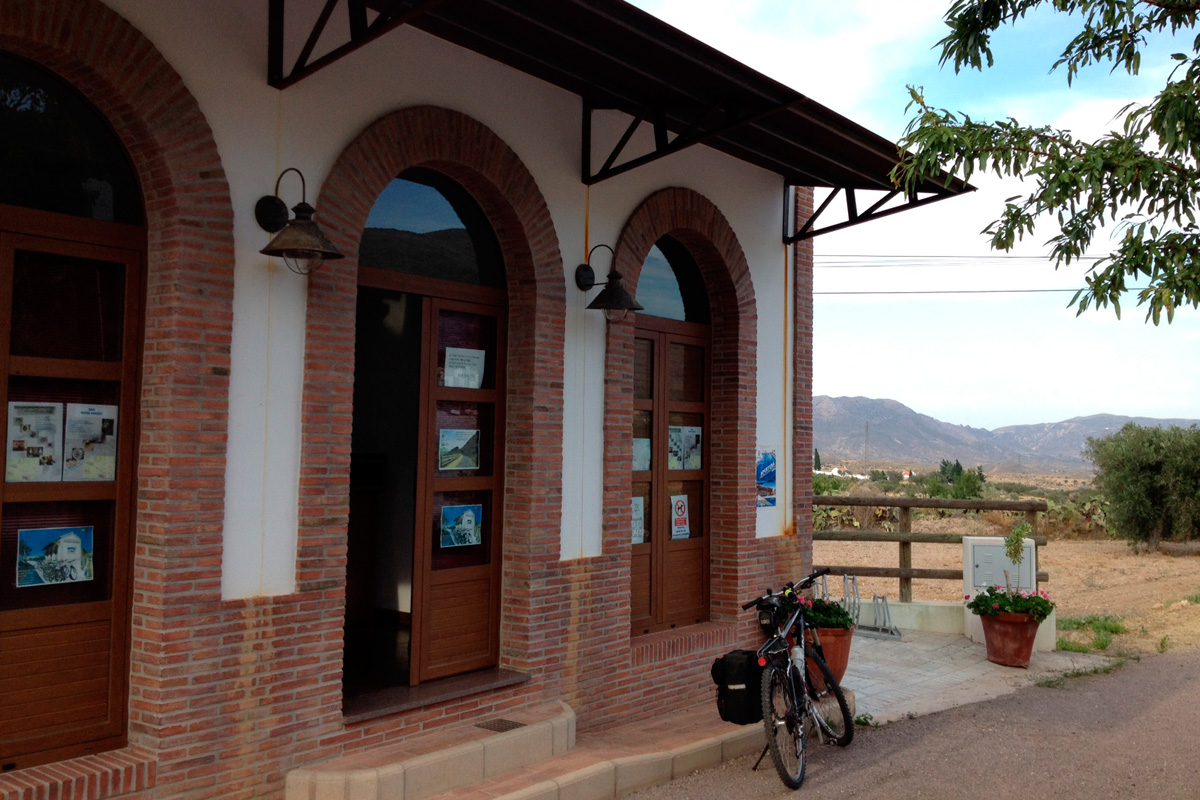
The route begins next to the old mining office, a square building made of stone, right next to the chimney of the forges of the old railway station, which in the near future will become a tourist centre. The start of the Lucainena de las Torres Greenway is accessed at km 4.5 of the AL-3107 road, where we find signage explaining what we will find along the way and its history. Just 100 m further on, there is a small information point with the appearance of a railway station, where tourist services and bicycle rental are provided.
Getting started
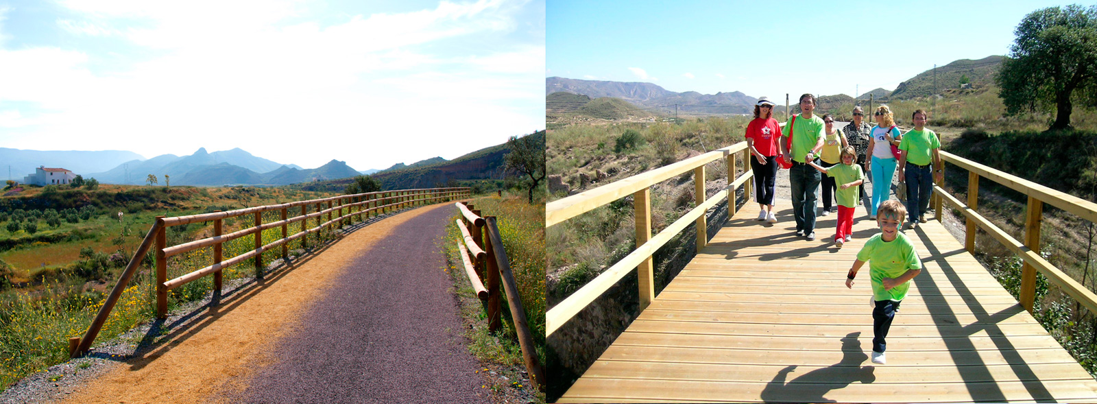
We will start our trip along the Lucainena de las Torres Greenway surrounded by olive trees and vegetable gardens, passing along wooden walkways to cross the bridges that once saw the train pass by. At km 1.2 we will come across the Algarrobo rest area, whose name alludes to the presence of a majestic carob tree (“algarrobo” in Spanish). Here we can see what remains of the old medicinal baths of Lucainena de las Torres, whose splendour coincided with that of the town’s mines.
We will continue surrounded by orchards and trenches built for the passage of the mining railway, coming out to a valley full of olive groves and esparto fields typical of the area. At km 2.5 we will come across the rest area of La Cerradilla, equipped with benches, tables and a water supply, as well as artificial shade to rest.
From there we will continue our journey through the valley towards the sea. That is the objective to be attained: making the Lucainena de las Torres Greenway reach the Mineral Loading Dock in Aguamarga, in the heart of the Cabo de Gata-Níjar Nature Reserve. Meanwhile, along the way, we will observe elements such as a stone speed bump and some isolated farmhouses built in the traditional way.
Continuing the route at km 5 we will see a waterwheel that uses human or animal power and, just behind it, the hill of the castle where remains of pottery from Roman times have been found. After passing the footbridge that crosses the Rambla Honda, we will come across a small rest area. From here we will travel along a section that is shared with very little traffic (it should be noted that it is a railway line), but even so we recommend that you be careful. In this way, as we advance at a leisurely pace, we will come across neighbourhoods such as Los Olivillos, and just 1.5 km away, the Rafaela Bridge –an interesting element that is being restored– where the train once travelled on its way to the sea.
A little further on we will find other neighborhoods such as Los Ramos, Los Munueras, Los Franciscos, and a little further on, at km 8 of the itinerary, the remains of the pools of Peralejos Station, where the locomotives were supplied with water to continue on their way. We will continue along the left bank of the Alias Ravine until we reach a tunnel dug into the rock (the first and only tunnel on this route!), where, if we look closely, we can still see at the top on the right the attachments used to support the cables that used to light up the tunnel.
At the exit of this curious railway gallery we come across an area where the ravine narrows and where, on both sides, we can see fossilised reefs. Without a doubt, greenways are a wonderful and unique open-air geology class. Of course, we will have to look carefully to locate them. A little further on, it we look to the right, at the bottom we can see a structure; it is an old water flour mill that lends its name to the area and the spectacular bridge that awaits us, called Puente del Molinillo, a spectacle for the senses located at the narrowest point of the ravine and that brings us closer to the fossilised reefs, where the echo of our voice will be returned by the mountain.
This is the point where the new section of the Lucainena de las Torres Greenway starts. At km 10 of the route, just after passing the bridge, we cross to the right side of the ravine to continue our way, where the landscape begins to change and starts to open up. We will advance through small trenches that have unexpected surprises in store for us, such as the remains of the sea that used to cover this area... One kilometre further on we will continue descending next to farms, arriving at Venta del Pobre, Nijar, where, after 15 km, we will reach the end of what for now is the Lucainena de las Torres Greenway.
Although the objective is to unite the "Desert Region" and one of the most beautiful villages in Spain with the Cabo de Gata-Nijar Nature Reserve, and with the sea in the town of Aguamarga, Nijar. A dream of a future greenway that, sooner rather than later, we will see come to fruition.
