Maigmó Greenway Nature Trail
Route Description
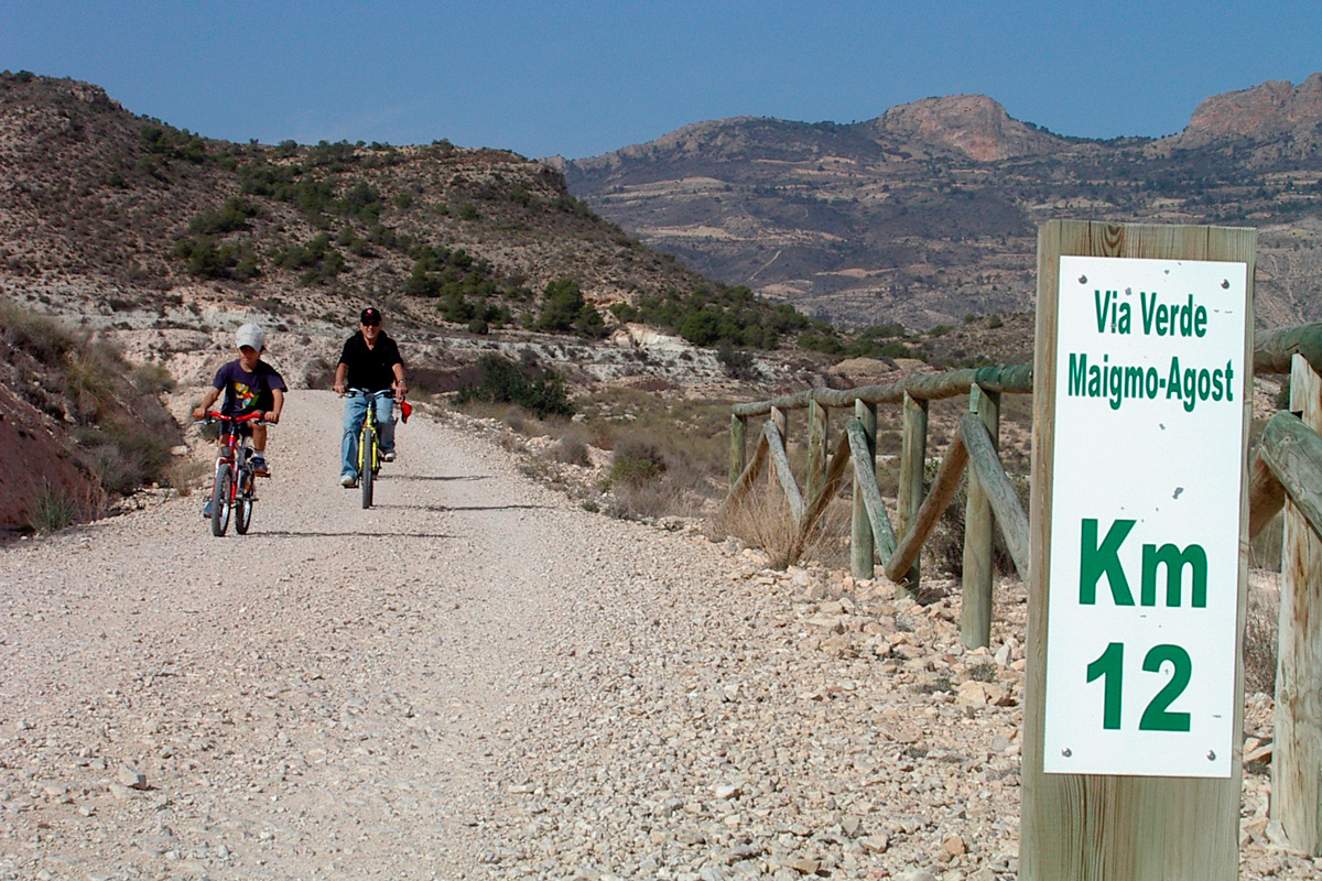
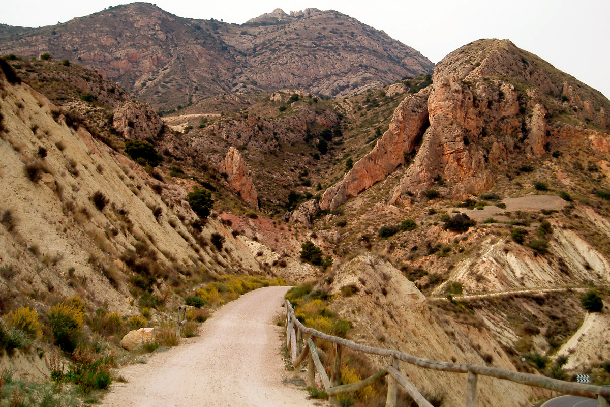
This greenway proposes an uphill journey to the Maigmó Pass along a changing route that moves between the cultivated plain of the Agost depression and the Mediterranean forest landscapes of the high Maigmó mountain range, covered with Aleppo pine and pierced by impressive watercourses and gullies.
Unfortunately the lighting systems of the tunnels (which were included in the project to build the greenway) were vandalized, so it is a good idea to bring along flashlights or have lights on your bike. You should also know that there are some short stretches shared with cars. And although it will be difficult for us to come across many vehicles, it does not hurt to take some caution.
The route starts at the Agost Halt. A small road will take us to this railway enclave 4 km from the town. Nowadays the trains on the La Encina-Alicante line no longer stop, so you will have to get there by car, on foot or by bike. Another interesting option is to start the Agost route in the town’s large rest area that has a car park.
If you choose to take the downhill route from the Maigmó Pass to Agost, the way to reach the start of the route is to turn off the Alicante-Alcoi motorway (A-7) after passing the service area of the Maigmó Pass. A change of direction through an underpass and a roundabout will bring us onto the service road in the opposite direction. A few metres away we will find a cleared dirt track and a rest area with parking, a clear indication of the beginning of the route.
After this digression, let's return to the Agost Halt. From here, the greenway with a compacted earth surface, runs parallel to the active railway line. A few metres away, the lack of a small bridge over a path forces us to take a steep – albeit short – descent, and the consequent ascent until we reach the level of the route. Due to the lack of this small bridge, this first section is not recommended for wheelchair users. In the case of kids and inexperienced ones, don’t worry if you have to get off your bike and push it for a few metres.
Back to absolute normality, the route advances through agricultural land where vineyards, olive trees and other crops add colour to a route that has been the focus of an enterprising and appreciated reforestation of olive trees, pomegranate trees, palm trees and other trees, which shade this greenway –very hot for a good part of the year. Thus, after some level crossings with asphalted agricultural roads (be careful!) and an overpass at km 4, the road, escorted by a row of palm trees, approaches the village of Agost. A large seating area with good furniture, shaded areas and the view of the town make a stop inviting. This town will be the first and only one we will encounter along the route, so it will be a good refreshment point if we are missing something. Those who like the tradition of pottery cannot miss it. The white jugs will be a good souvenir of the route.
Between ravines and large viaducts
Back to the greenway, a footbridge that is nothing more than an old FGV railway bridge that used to exist in Calpe on the line from Villajoyosa to Dénia (km 4.8), provides us, since 2023, with a safe crossing over the road from Novelda to Agost (CV 820) and the possibility of accessing the town along a new bike lane. In the past, there was a newly built metal walkway, but the addition of this railway bridge with more than a century of life behind it, seeing first of all trains pass by and now people on foot or by bike, has improved this point.
More straight stretches surrounded by orchards and fields bring us to another footbridge, this one longer and less historic than the previous one, located at km 6.9, which allows us to contemplate the Derramador ravine from the heights, giving us a taste of the numerous ravines that we will cross up to the end of the greenway.
The track, flanked again by palm trees, enters one of the most impressive trenches of the route (km 9). Making a wide curve to the left, the height of the clay walls of this levelled ground and two harmonious arches belonging to two overpasses of agricultural roads will be a blessing if the sun is hot. The next kilometre is defined by the Tarraig watercourse (km 10), which is overcome thanks to a high embankment in an imposing curve to the right, which allows you to look at the horizon, the extensions of crops, and the nearby Maigmó mountain range.
On the way out, we enter fully into the arid landscapes of “badlands,” passing from the cultivated area to the white gypsum lands. Two more overpasses and a short viaduct mark km 11. The steep ascent continues as the landscape begins to become greener. The first scrub and Aleppo pines make their appearance after the route’s first tunnel (km 12.1).
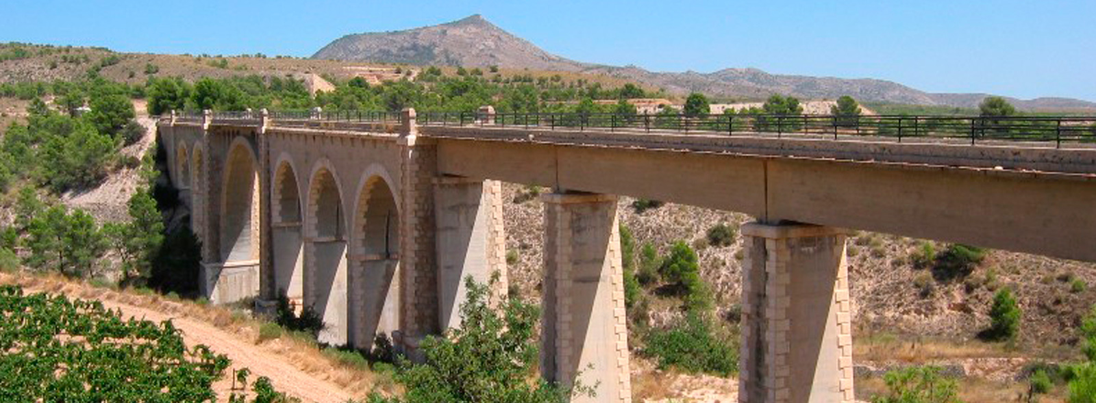
At the exit, a new surprise on the route: the Forn del Vidre viaduct (140 m). It is worth getting off the road and getting closer to contemplate the grandeur of this masonry work, which crosses over the ravine of the same name that we will rarely see with water. At the exit of the tunnel, at km 13, a beautiful trench that is protected to prevent landslides soon brings us in the next rest area.
Back on the road and heading to the next big milestone on the route: the Palomaret viaduct (km 14). It is another impressive 200-metre-long construction where – be careful! – cars can pass by, since we are on one of those sections of the route with shared traffic.
The tunnels of the Maigmó mountain range
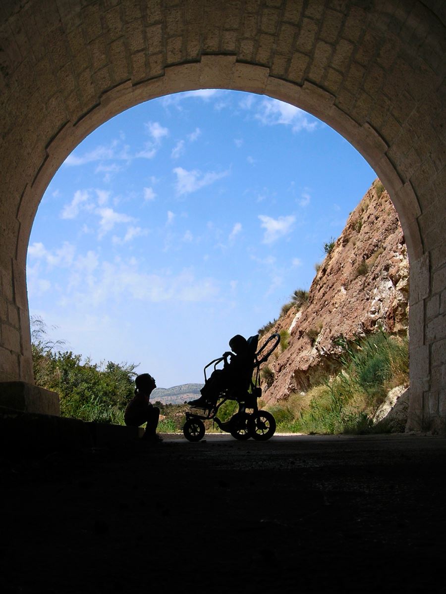
It must not have been easy for the engineers of the time to get hold of the relief of this area of inland Alicante. Thus, they had no choice but to penetrate these mountains through long galleries, which today form one of the great attractions and an element of exciting adventure on this route. Featuring ravines, high rocky cliffs and the domain of the Aleppo pine, we come across the next 2 tunnels of 78 m and 160 m respectively at km 14.7 and 15.7. It's time to take out the flashlight at km 16.1 as its 250 m begin to command respect.
Between new sections of trenches, high embankments, ravines and nearby clay masses, we begin to see how the CV 827 road that is on our right climbs and traces innumerable and vertiginous curves through these mountains towards the top of Maigmó. It will not be uncommon to see cyclists climbing the road, while the ascent is gentler along the greenway.
We are, without a doubt, in one of the most beautiful areas of the route; the smell of the pines seems to invade everything, and the tunnels seem to add a special magic. The 381 m of completely dark gallery of the tunnel at km 17.4 will be merely a prelude to the long and penultimate tunnel of the route, which crosses the bowels of the Collado de la Horna. But first, and in case we need a stop, we are offered a new and more than pleasant rest area on the right of the road, in the midst of a large pine forest.
Reaching the top of the pass
The penultimate tunnel on the route, located at km 18.2, is undoubtedly the longest (525 m). So, flashlight in hand and with a renewed spirit of adventure, we will cross it without any problem. It should be said that the surface of this and all the other tunnels is made of cement, which makes it easier and safer to go through them. The last tunnel (seventh on our route and not lit either) has the peculiarity that the kilometre 19 marker is located inside.
During the last 3 km we will face a steeper slope, but being refreshed and knowing that the scenery and surroundings are worth it. In the last kilometre we will see on our right the motorway from Alicante to Alcoi (A 7) and a service area. In the event that we prefer the option of stopping at the service area, rather than ending up at the rest area located at the end of the greenway (km 22), we can get there along a bike lane that starts from the end of the greenway, crosses the nearby roundabout, and runs through the underpass of the motorway and along its service road. If we need to regain strength, a service area, restaurant and picnic area will satisfy our needs at the end of the route. The end of the greenway, at the Maigmó Pass, belongs to the municipal district of Tibi, located 6 km from the end of the route.
