La Jayona Mine Greenway Nature Trail
Route Description
 This recommended route begins at La Jayona Mine, passes by the Chapel of La Virgen del Arca, along 12 km of clearly signposted public trails, and reaches Fuente del Arca Station, located to the north of the locality of the same name (km 68 of the old railway line). From here, there is another 20 km along the old Peñarroya-Fuente del Arco narrow-gauge railway line as far as the halt (km 48.3 of the old railway line) located beside the rest area at km 137 of the N-432 road, to the west of the centre of Azuaga and 7 km from the locality.
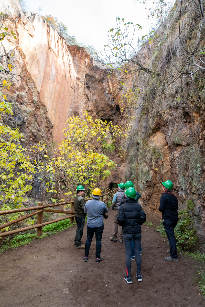
Before starting to cycle or walk, we must visit La Jayona Mine, an old iron ore mine that was excavated in times past using picks and shovels, a real gem that should not be missed. To get there, you just have to follow the signs for "Mina La Jayona" from Fuente del Arco.
On the way to the mine, about 10 km from the station, you will pass through the small town of Fuente del Arco, a place where travellers will find a great variety of natural, traditional and cultural resources, as well as its own rich gastronomy. And you will also pass by the Chapel of La Virgen del Arca, the so-called "Sistine Chapel of Extremadura." This Mudejar-style sanctuary was built throughout the fifteenth century. It stands out for its Mudejar arcade, the belfry and the annexed buildings that provided services for the church. Inside, just as in the Vatican palace, scenes from Genesis are depicted in polychrome, made by at least six different painters probably belonging to the school that Francisco Zurbarán established in Llerena, Badajoz.
Among its paintings, the late-15th-century geometric figures painted on the plinth also stand out.
A privileged and spectacular place, previously unknown to many, which has become known since it was declared a Site of Cultural Interest (abbreviated as “BIC” in Spanish).
 Fuente del Arco, gateway to the "Vía Verde"
Once we reach the greenway itself, and after visiting the mine, chapel and village, we can get going. The first landmark will be the Fuente del Arco Station, where intercity trains stop on their way from Seville, Mérida and other cities in Extremadura. Moreover, it is 2 stations away from Cazalla–Constantina Station, the gateway to the Sierra Norte de Sevilla Greenway (Chapter 4). Can you imagine being able to combine the itinerary along both greenways by taking one of the trains that link them? Well, it’s possible!
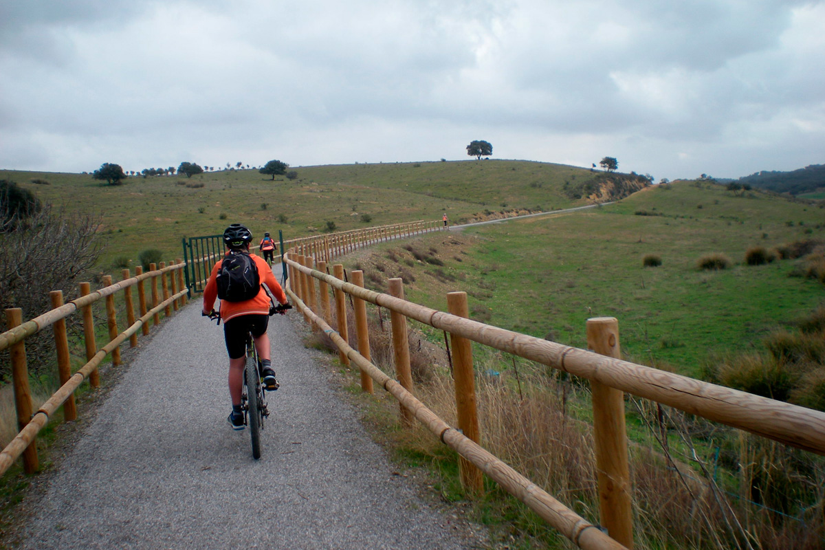
The first kilometre and a half of the old railway line is characterised by a sharp bend to the right, before crossing the Galapagar stream. 8 kilometres lie before us in an itinerary that is mainly flat, leading us into Extremadura's landscape featuring wooded pastureland, characteristic Mediterranean scrubland, thyme, broom, genista, flax-leaved daphne and merino sheep.
Valverde de Llerena, rural charm halfway along the Greenway
The scenery begins to change from km 10 onwards, with the trees being replaced by a predominance of farmland. We will soon come to Valverde de Llerena (km 11).
If we continue on, we will see traces reminding us that there used to be a narrow-gauge railway line here, e.g. the old station that used to serve this locality.
This is a good time to take a break in the locality, stroll through its streets and stock up on what we may need, since it will be the closest town we will pass by before the end of the route. Valverde de Llerena is an example of the small towns in the area that are exclusively dedicated to the primary sector. Its gastronomy is characteristic of Extremadura with influences from Andalusian cuisine due to its geographical proximity.
And after having a well-nourished body, there is nothing better than a cultural visit. The parish church of the Immaculate Conception (16th century) stands out in the town, featuring the Mudejar Gothic style and an attractive tower.
Towards Berlanga and Azuaga
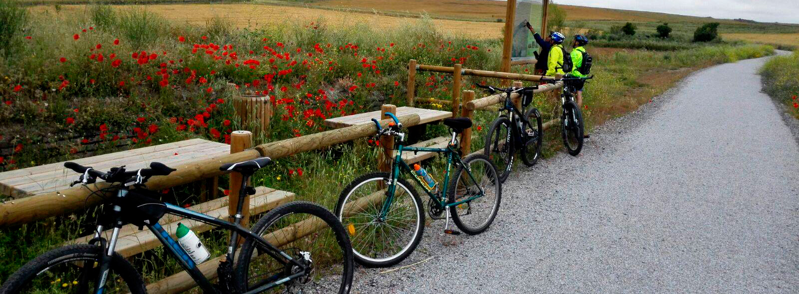
We leave Valverde del Llerena and advance several kilometres with the rhythmic presence of olive trees, which will escort travellers almost until the end of the itinerary. At km 17, we will pass by the ruins of Berlanga–San Fernando Station, followed by an information panel and a rest area where we have a choice to make: going to Berlanga, which is just over 4 km away, or continuing on our way. If we choose the first option, it is worth noting that in this locality we can visit Las Quinientas Park, a peri-urban conservation and leisure park featuring reforested pines and a large eucalyptus grove. It also features a large number of native trees and plants such as daffodils, orchids, chrysanthemums, fennel, gorse, thyme, etc. An ideal and very educational place to go with children where they an learn the importance of respect and care for animals and plants.
We return to the greenway. 2 km away, we come to the ruins of the Azuaga railway halt and a rest area beside the N-432 road (km 19.7). Here, the greenway comes to an end because this road represents a barrier that needed to be overcome with a footbridge.
Until that happy moment arrives, this is the end point. We are about 6 km from Berlanga and 7 km from Azuaga, the area's most populated locality. Both towns have a rich history marked by their origin and are well worth a visit.
If we want to go to either of these two towns, we will have no choice but to leave the safety of the greenway and share the road with vehicles, so be very careful! Another possibility is to cross the national road (please take care!) and rejoin, on the other side, the old railway line that has not been ungraded; so we can follow it as an adventure as far as the town of Azuaga.
As a final note, travellers will be interested to know that, in Cordoba, there is another greenway section that runs along the old railway line from Peñarroya to Puertollano and Fuente del Arco. It is called the Guadiato and Los Pedroches Greenway, and a description may be found in Chapter 8 of this same guide.
This route was awarded the Blue Flag Trail distinction in 2024 by the Association of Environmental and Consumer Education (ADEAC), a prize and recognition for the conservation and restoration of trails and itineraries, transformed into valuable resources for environmental interpretation and education, as well as for enjoying nature through sustainable recreational, sporting and tourist activities.


