Monfragüe Greenway Natural Trail
Route Description

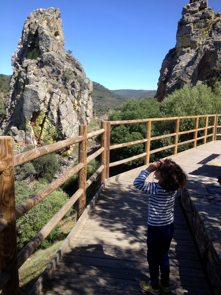
The Monfragüe “Vía Verde” runs through one of the Iberian Peninsula’s most pristine areas of Mediterranean scrubland and woodland, a real paradise for nature lovers and birdwatchers.
This is one of 3 Spanish greenways that are less than 5 km from a National Park. What a treat! The Monfragüe National Park, declared such in 2007, covers an area of 18,396 hectares and is included in several international protected areas, such as the Unesco Biosphere Reserve and the Special Protection Area for Birds (SPA) called “Monfragüe and Surrounding Wooded Pastureland,” both with an area of more than 100,000 hectares.
From the Visitor Centre to the Station
The “Vía Verde” runs for 17.62 km along the old route of the Madrid-Valencia de Alcántara line via Malpartida de Plasencia, extending 2.3 km more along an asphalt road as far as Haza de la Concepción. Malpartida is considered one of the gateways to the National Park. Before beginning, we recommend going to the North Visitor Centre (EX-208 road, km 9), which opened in 2018 and is located very close to the greenway itself. This space allows you to plan your visit to one of Spain's natural jewels. It has bike racks, so we can go right there with our two-wheeled companion.
After the Visitor Centre, we set off for the km 0 of the greenway in Las Habazas, near the campsite and Monfragüe Train Station, more specifically at km 8.5 of the EX-208 road. If you arrived by train in Monfragüe Station (located less than 2 km from the beginning of the greenway), you will have to take the small road leading from the station to Malpartida. When you reach the EX-208 road, you will see the La Habazas restaurant.
 Monfragüe Station (formerly known as “Palazuelo-Empalme”) used to receive intercity trains from Madrid, Huelva, Zafra, Badajoz, Merida or Caceres. It is worth noting that it is the km 0 of the Plasencia–Astorga line, of which the connection with Plasencia is still operational. Closed in 1984, the former “Ruta de la Plata” line is now being restored as a greenway. You will find different routes in the North Volume of this Greenways Guide.
Before beginning the greenway, we recommend visiting the old railway settlement of Monfragüe, which is expected to be declared a Cultural Heritage Site (“BIC”, in its Spanish acronym) and where the echo of that life linked to the railway still seems to resonate among its buildings. This town lost all its functionality with the end of steam traction and the subsequent closure of the Vía de la Plata. More than seven hundred people once lived in the pavilions and low houses that were located to the south of the Madrid-Cáceres Railway; these buildings also included a chapel, school, commissary, medical dispensary, etc.
We are on our way
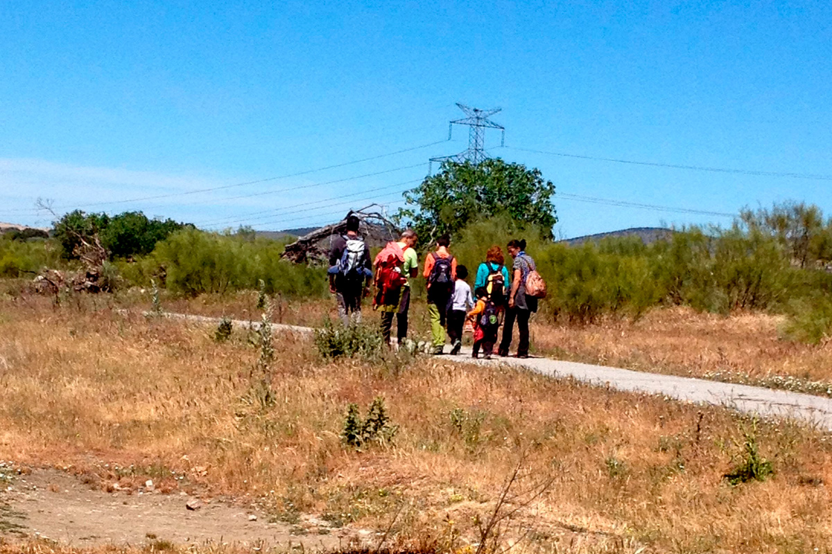
Once we get started, we go down to km 4 surrounded by holm oaks, thickets of rockrose, thyme and broom, which dominate this wooded pastureland of great beauty –this itinerary in spring is a real joy.
Another inseparable travelling companion will be the operating railway line, with the odd train passing by now and again. Who hasn't tried racing a train at some time? If we are accompanied by children, this will be one more incentive on the way, in the company of cattle that graze freely in the wooded pastureland.
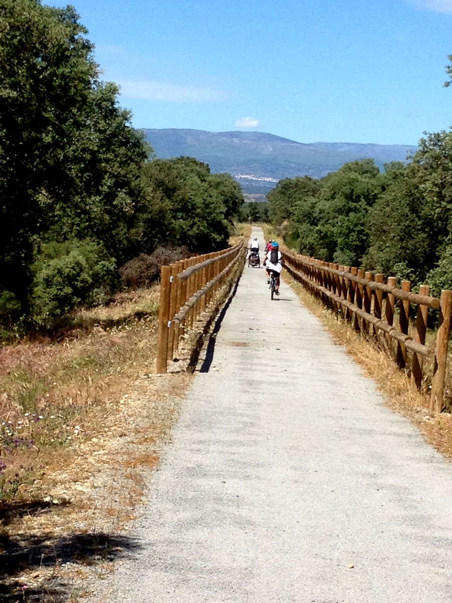
The route bends to the left, while crossing the Tamujoso stream over an attractive wooden footbridge. It is the first of 4 that we will encounter along the way.
Shortly, we will cross the tracks by means of a prefabricated bridge –be careful with the slope and the steep ramps leading up to it!– located above a local road, with the greenway now on the right of the railway line, followed by a second footbridge above the stream called Arroyo Grande or Carrascal and a third one connecting with the CCV-116 asphalt road, which leads to the small town of Malpartida de Plasencia, about 5 km from the route. We are now at km 6 of the itinerary.
Apart from being the gateway to the National Park, Malpartida also stands out due to its impressive Church of San Juan Bautista, which was declared a Historic-Artistic Monument in 1990. The town is located on the Cañada Real route itself, which is also called Cañana Real de la Plata or Cañada Real Trujillana. It was originally a Roman settlement and still features numerous inscriptions on its walls and facades. But let's get back to the route…
Malpartida Station and the section alongside the tracks
 We soon come to the abandoned station of Malpartida. It is worth having a look around to see traces and testimonies of railway activity, including old wooden sleepers that still have the coach screws that were used to fasten them –they are marked by the letters “RN,” which stands for “Red National” (i.e. Renfe) or National Network, and that were left stranded when this section of the railway was dismantled. Another curiosity in the area is the stone cattle loading dock, which can still be seen at the station.
After passing the station, the route runs parallel to the railway line rather than on the old railway route. This means that we are going to lose some of the accessibility that we previously enjoyed. This intermediate stretch, between km 7 and km 13, zigzags through a section featuring amusing dips, ascents and descents with some ramps that are a bit more difficult.
The landscape now includes the presence of cork groves, with some beautiful specimens. The bare trunks reveal their use for cork harvesting.
Towards La Bazagona
At km 13, the track takes a wide bend to the left and our route heads over the operational railway tracks, by means of a concrete bridge. Be careful with the steep slope! We are now on the left side of the railway tracks, and the platform featuring a bend this wide indicates that we have returned to the old railway line.
It is worth highlighting something that we must keep in mind: in order to pass through certain points, we have to open and close rustic gates made of wire, as is the case when crossing the railway line at km 13.
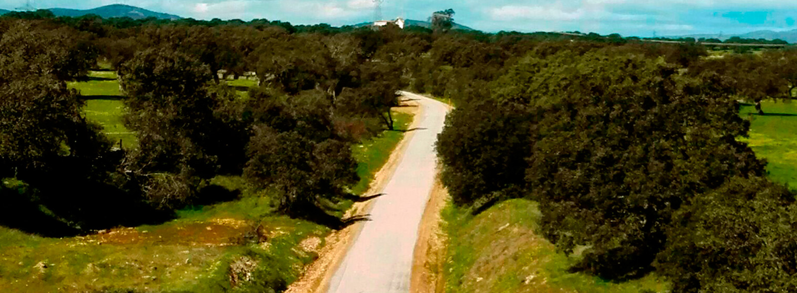
The greenway descends gently in a wide bend towards the north. This will be the last section, featuring the densest vegetation and the greatest silence, being located further from the railway tracks. Cork oaks and holm oaks intermingle in the first kilometres and the presence of the Iberian pig returns as we enter another area of wooded pastureland.
The fourth (and last) aesthetic wooden footbridge over the Haza stream leads to the end of the itinerary. We reach the finish in just 1.5 km, but not before noticing a signal box in ruins. The line ends 2 km before reaching the bridge of La Bazagona over the Tiétar River. Nevertheless, since this end has not yet been connected with other routes, it should be considered a linear, two-way route.
The greenway thus ends, as if suddenly, "in the middle of nowhere," right under a bridge that leads to an asphalt road and whose access is not easy. If you want to go up to the top, you will have to do it as best you can up the side embankments.
Those that have accessed the aforementioned country road can continue the route along the asphalt road (signposted itinerary) as far as Haza de la Concepción (2.4 km away), a small village that enables you to reach the EX-108 road. From here, Malpartida’s La Bazagona neighbourhood is 3.5 km away. We hope that for future editions of this guide the arrival to La Bazagona along the old railway line will then be a reality. For now, and for the time being, the best thing will be to go back the way we came.
This route was awarded the Blue Flag Trail distinction in 2024 by the Association of Environmental and Consumer Education (ADEAC), a prize and recognition for the conservation and restoration of trails and itineraries, transformed into valuable resources for environmental interpretation and education, as well as for enjoying nature through sustainable recreational, sporting and tourist activities.


