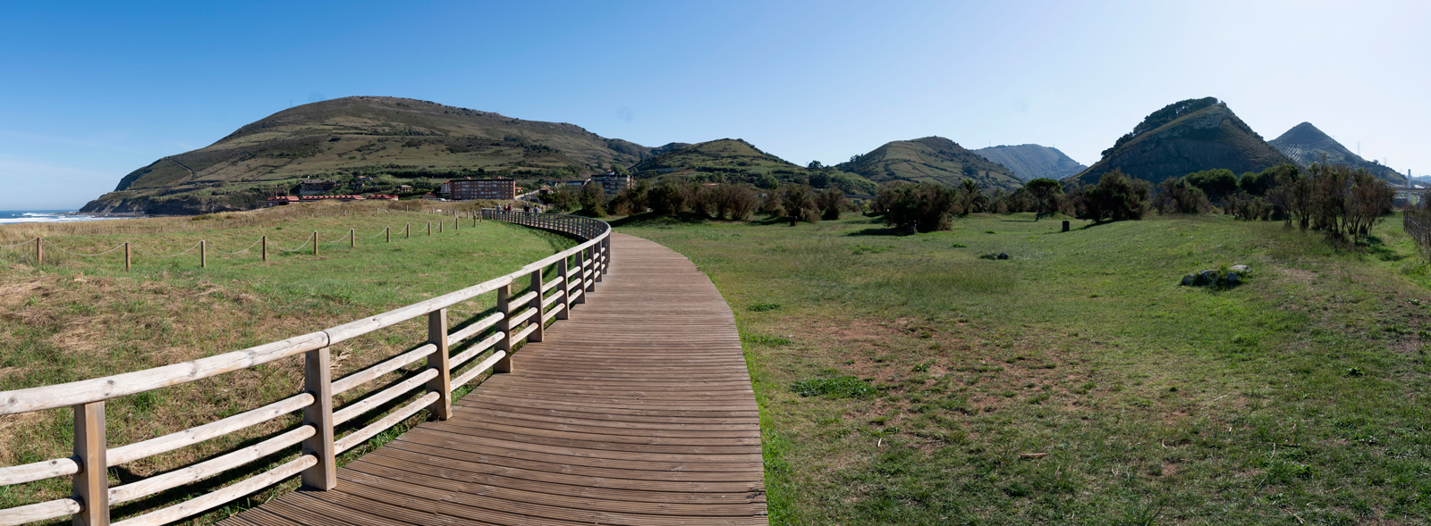
Los Montes de Hierro Greenway
Route Description
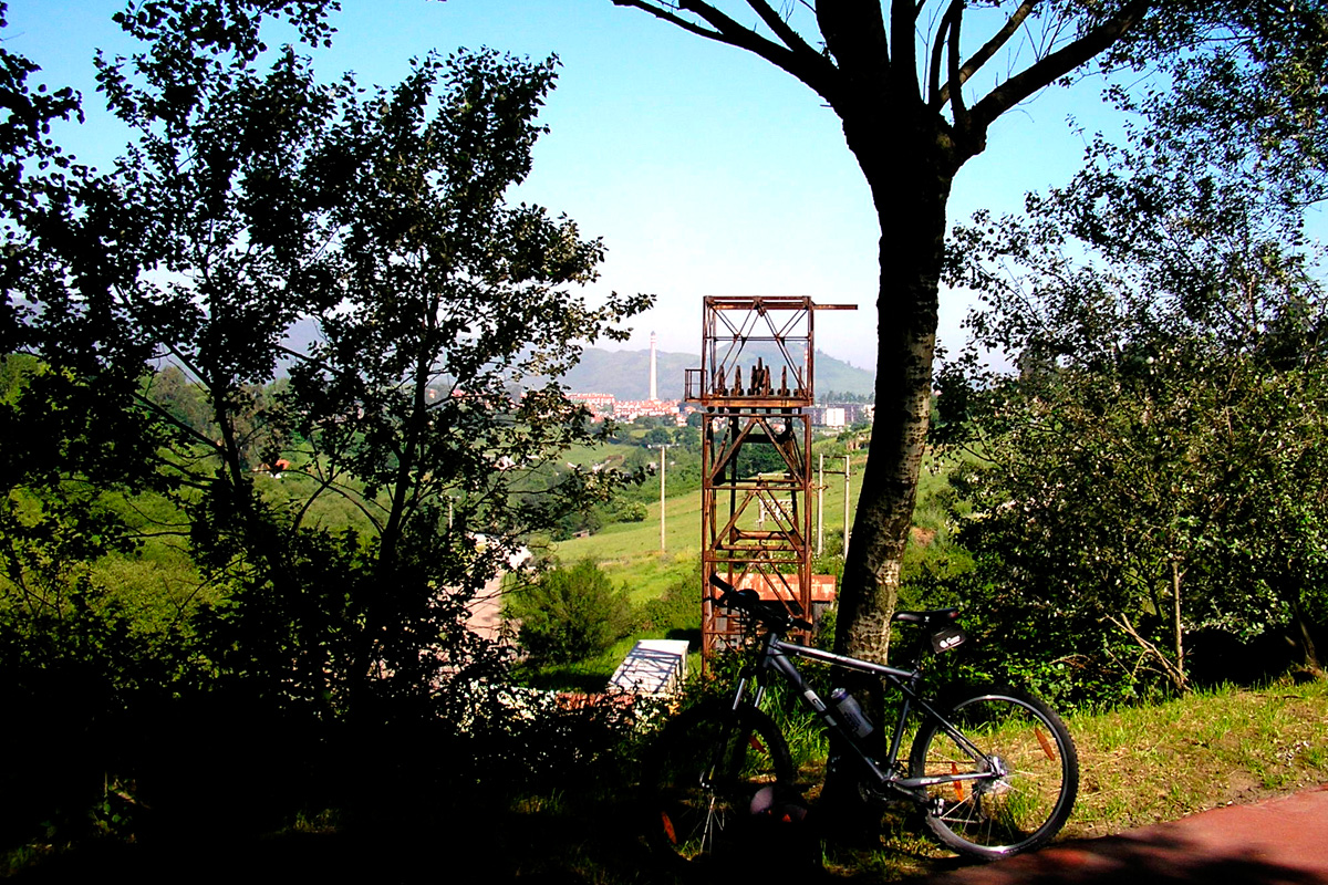 The network of Los Montes de Hierro Greenways is the result of linking two Greenways in the region of Las Encartaciones/Enkarterri and in the Left Bank / Mining Area of the Bilbao Estuary: the Itsaslur/Campomar Greenway and the Galdames (or La Galdamesa) Greenway, whose route was extended in 2011 by 15 km as far as the Traslaviña train station, following the trail of the old Castro-Traslaviña railway line.
All of them share a common mining origin, linked to the extraction of high-quality iron ore, which was renowned throughout Europe centuries ago, even being mentioned by Shakespeare.
Closer to home, it promoted the industrial deployment of the whole of Greater Bilbao with industrial icons such as Altos Hornos de Vizcaya, giving rise to both the Basque bourgeoisie and the workers' movement.
The Los Montes de Hierro Greenway begins at the Traslaviña train station (km 0), on Renfe’s present-day Bilbao–Santander line. From here you can also access the “Ruta de las Ferrerías” and the GR 281 (which takes us through Balmaseda to the peaks bordering the Kadagua River).
The greenway takes us to Las Barrietas following the crystal-clear waters of the Kolitza River, featuring two tunnels (87 and 147 metres), an old iron mill and a beautiful wooden footbridge that crosses the watercourse. On the other bank we come across the ruins of another forge and an old ore loading dock next to the former train station. At this point, the crossroads on the road going up to the old mining town of Alén (km 4), invites us to leave the greenway to discover mountain forges that are more than 2,000 years old in a site that has been prepared as a recreational area.
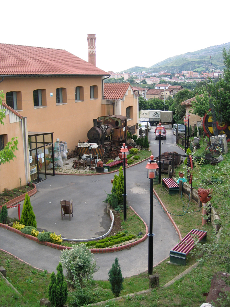
If we continue along the greenway, surrounded by forests, we will soon see the spectacular cliffs that are home to the Egyptian vulture, a unique bird in danger of extinction. And crossing the Sopuerta Quarry from above, we arrive at the El Castaño neighbourhood, where we are greeted by an old wagon, inviting us to enter the Catalina mine complex, renowned for its two calcination furnaces. Here we will be able to see (but not go through) the Los Herreros Tunnel, whose 2-km length was excavated with picks and shovels in the first half of the 20th century. This pharaonic infrastructure enabled the railway to cross the mountain pass of Las Muñecas and arrive in the Cantabrian valley of Otañes, before finally reaching the magnificent cantilever loading dock (that no longer exists), which used to hang over the Castro-Urdiales cliffs. The long-awaited restoration of this tunnel may, one day, enable the greenway to follow its original route to the sea. For the time being, we will also be able to travel along part of this route via the Castro Urdiales Greenways. In the vicinity we also find the recreational area of El Alisal and El Castaño. But let's continue.
On the way to La Aceña
After passing through another tunnel, we arrive at Sopuerta Abentura (km 14), an attractive active leisure facility for all the family. Continuing along the greenway beyond the loading dock of the Jarralta Dam, we pass by El Arenao (where we converge again with the “Ruta de las Ferrerías”) as far as the old railway bridge that has been restored as an excellent wooden footbridge over the road. Further on, another new wooden footbridge over the Barbadun River (with an abundance of trout and more and more salmon) and a small tunnel under the road take us through wetlands as far as La Aceña, the meeting point of the old lines of the Sestao-Galdames railway and the Castro-Traslaviña railway.
To get to La Aceña we have to go up an important slope, although we can regain strength by resting in its recreation area, featuring picnic tables, children's games and a beautiful river walk, around the Tardada and Berango mines. This is the site of an old mining town that now features a beautiful reservoir, used as a fishing preserve for large trout. In the vicinity there is also a bar-restaurant and a sports area with parking, which connects us again with the GR 281; a bicycle rental outlet is also planned in the old railway station. In addition, we will see at the foot of the track the old station of the railway that reached Sestao. This building houses a greenway information point in summer (km 16).
If we continue along the greenway through a series of tunnels, such as that of Vallejas and some others, we will enter a wooded area featuring trees of different shades of green, which will accompany us all the way to the El Cerco neighbourhood in Galdames. This used to be the location of another old railway loading dock, featuring strange embankments and walls that forma a trench along a section of the greenway. To the left of the greenway, we will even see a circular pit where the locomotives that made partial journeys to this point turned around.
Constantly immersed in a wooded landscape, we arrive at Santelices, Muskiz (km 23), a crossroads that gives us the possibility of leaving the greenway, either to descend to the forge of El Pobal, or to go up to the Peñas Negras Mining Interpretation Centre and the mining district of La Arboleda. If we decide to take this evocative turn-off, we can take a route through the Triano hills and enjoy a spectacular landscape featuring numerous mines that blend into the scenery, often in the form of ponds and lakes.
Gallarta, the Mining Museum and the El Sobaco Tunnel
If we continue along the greenway, we will reach Gallarta (Abanto – Zierbena) at 8 km, where the Basque Mining Museum awaits us with its spectacular viewpoint overlooking the Concha Mine (km 27), which excavated under the original village over decades, now reaching below sea level.
Along the route, dotted with magnificent views over Putxeta, the Gerente pit and La Arena Beach, we will come across the Borja mine loading dock and El Sobaco Tunnel –a wide gallery disproportionate for a narrow-gauge railway, with a length of 150 meters, featuring lighting and a pavement for pedestrians – as well as the Cotorrio hostel. And further on, the ruins of the loading dock of El Once (so called because it was located at km 11, “once” in Spanish, of the Sestao - Galdames railway), where the terminus of the long ramp was located; the ramp was the longest in the Mining Area, connecting with the Saúco Mines in Galdames.
 After the Picón bend, a recreation area invites us to rest, next to the old Los Castaños Station. Curiously, the pit where the small locomotives turned around still remains, having been turned into a charming pond.
Continuing on, the old San Fermín ramp and the Calcos Viejos Tunnel (50 metres) take us to an urban section with shared traffic (be careful!). After this town housing the old Triano Mining Hospital, we return to a quieter section, where the route forks, heading towards the sea on one hand and to the Bilbao Estuary on the other.
Going down towards the beach and the Itsaslur route
Until the imminent restoration of the Benedicta Tunnel in Sestao enables the greenway to follow the original iron-ore route via the estuary, where the greenway will connect with Greater Bilbao’s network of bike lanes (bidegorris), we recommend continuing our journey towards the sea.
We will therefore take the bidegorri on the left, at the recreational area next to the Gallarta football field (km 31), emulating the spectacular line of aerial buckets of the Orconera Iron Company, along the short distance –just 8 km– that separates us from the Bay of Biscay, the appetizing beach of La Arena and the seaside Itsaslur/Campomar Greenway.
This overhead bucket line, which connected the Carmen Mine VII in Ortuella with the Pobeña washing site in Muskiz, could be considered the last link in the chain of the Los Montes de Hierro Greenway. Although its original route is impossible to restore (given its aerial nature), the remains of this great invention –considered in its time the most important in Europe due to its technical perfection and its 8-km length– have given rise to another traffic-free section along the existing bidegorri between Abanto-Zierbena and Muskiz.
An excellent recommendation is to continue from Muskiz along the riverside walk along the Barbadún River that connects the town centre, along both banks of the Barbadún River, with the neighbourhood of San Julián and La Arena Beach.
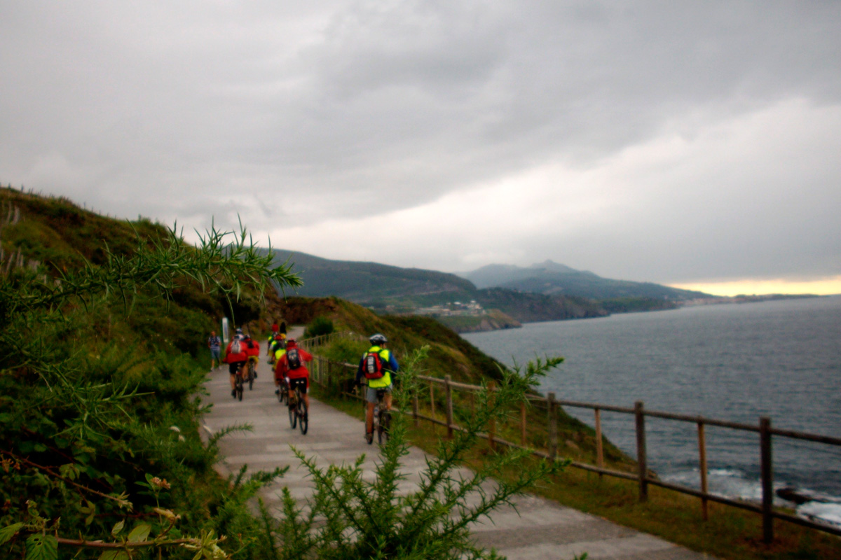
Once we step on the reddish and ferrous beach of La Arena, it is worth walking along its dunes and marshes, home to herons and cormorants, before finishing our trip along the Itsaslur Greenway via a small slope of stairs in Pobeña (km 39), on the other side of the bridge that crosses the Barbadún River. Here we still find traces of the old line of buckets, and we link up with another important cultural route: the Northen Way of St. James, which has a hostel for pilgrims here. This seaside route, on the edge of the cliffs, will be hard to forget, and good photos are almost guaranteed.
We will reach the finish line (km 42.5) after admiring the unique monumental mining complex of El Castillo, Mina Josefa and Amalia Vizcaína on the edge of the sea, which, a few years ago, swallowed up the only Bizkaia loading dock on the open sea. Then we can enjoy a well-deserved rest in the recreational area. And those who want to continue can do so via the Piquillo Greenway, which will take us to the fishing town of Castro Urdiales in Cantabria.
