Río Guadarrama Greenway
Route Description
 The Móstoles-El Soto commuter train station will serve as a reference point for the start of the route. Once outside the station, we will turn right to access Camino del Obispo. We will walk along the road bordering the shopping centre on the left and turn right to cross the bridge over the Southwest Dual Carriageway (A-5). Once we have passed the bridge, we will continue along Camino del Obispo, leaving the water treatment plant on our left. A few metres ahead, we will leave the asphalt road and start along the compacted dirt road, where a wooden railing unequivocally marks the beginning of our route.
If you are coming from the town of Móstoles, a good reference point will be to start from the fantastic Finca Liana Park, where a cycle lane leads to El Soto Park. And from "El Soto," as it is commonly known by all of Móstoles’ residents, there are also signs to the greenway –you can't miss it!
And if we are coming from the station (km 0), which is on the greenway, and as we advance at a leisurely pace, we can contemplate on the right the landscape featuring fields of crops and, on the left, the large park of El Soto, an oasis of greenery in the big city where it is very pleasant to walk around its lake.
Towards km 3, the greenway runs comfortably, without any impediments, parallel to the road (also called Calle Ferrocarril) that leads to the Guadarrama housing estate, with the Parque Coimbra housing estate coming into view; it is now linked to the greenway by a brand new wooden footbridge that crosses the El Soto stream. Near the Middle Course of the Guadarrama River Regional Park, there is a nature site of great environmental value and diversity that extends from the base of the Madrid mountain range to the countryside of the Tagus depression, following the course of the Guadarrama and Aulencia rivers. The regional park’s extraordinary landscape, made up of a variety of natural elements, features settings of great ecological diversity and value, such as Mediterranean forests, riverside forests and fields of crops. Very close to our route is the El Soto Paleontological Zone, one of the Madrid Region’s Cultural Heritage Site, in which fossil remains dating approximately to the middle Aragonian, fifteen million years ago, have been found, such as giant tortoises and proboscideans similar to today's elephants.
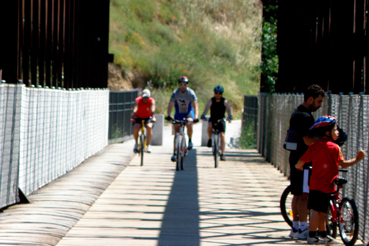
At km 5, we are heading towards the end of our journey when we enter the magnificent Iron Bridge, a metal structure built in the 19th century to enable the old Madrid-Almorox railway line to cross the bed of the Guadarrama River.
In addition to its great importance as a key reference point on the railway route, the bridge is of great social interest since, a few meters away, there used to be a small station called Río Guadarrama, whose remains we can still see; this was where those day-trippers and bathers from Madrid had to get off to enjoy a day in the countryside.
Our journey ends here but if we want to extend our route a little further, although the itinerary has not been upgraded as a greenway, we can continue along gentle hills and a dense area of pine trees that will take us away from the greenway in order to approach, along rural tracks, the beautiful town of Navalcarnero, where we can link up with Stage 15 of the Grand Tour of CiclaMadrid, a 770-km-long cycling route that runs along the perimeter of the Madrid Region in 17 stages.


