Tarazonica Greenway Nature Trail
Route Description
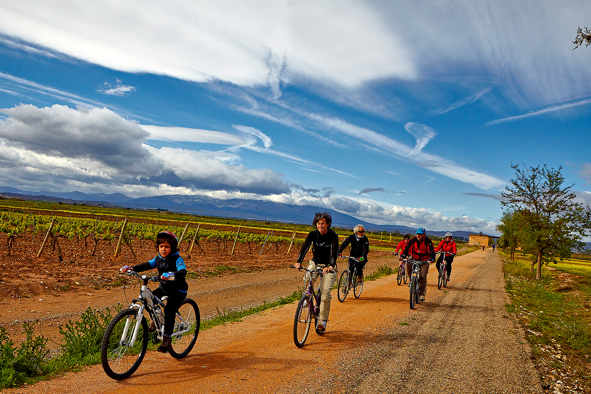 This greenway begins where the old railway had its km 0, at Tudela Station. What better way to start the route if we arrive by train. Of course, you should take the opportunity to visit Tudela and wander around its medieval streets and visit its cathedral. The capital of La Ribera de Navarra features vast architectural heritage from Mudejar to baroque, as well as outstanding cuisine.
After fulfilling this cultural obligation, the greenway begins at the same station as today, at a point located behind the bus terminus. A ramp enables us to cross a wall until we reach the street called Camino Caritat. In this first section of our route, we will travel through Tudela’s urban centre. Before leaving the town, we will come across a square featuring a steam locomotive that used to go up and down the Tarazonica’s rails.
Camino Caritat leads to an overpass that crosses the active train tracks; we will leave this a bridge on the left to continue along the greenway section that heads towards the original Tarazonica route.
Between irrigation ditches and canals
The Tarazonica separated from the railway line, which is now active, in this same area, following a sharp bend to the south that guided it to its destination in Tarazona, towards the Moncayo.
After crossing the old national road, we will find ourselves immersed in an area of vegetable gardens. From here the route starts along a long straight stretch towards the Moncayo. At km 2 we pass under the Rape Bridge, an old overpass that is now out of service.
On the other side of the Rape Bridge, the greenway continues its straight stretch, passing by plots on which some farmhouses have been built. Precisely in this area, at km 3.3, on the right there is a dirt track that once followed the Tarazonica. From this point it headed straight towards Tudela Station, passing next to the bullring. A unique monument has been erected in this area that evokes the railway's past. Next to the monument, train wheels and buffers, which now function as chairs and tables, invite us to stop along the way.
A little less than 300 metres away we will come across the Ablitas road and a metal footbridge that goes over it. We are now at km 4 and our greenway crosses near the waters of the Lodosa Canal. This kilometre-long aqueduct channels water from the Ebro to irrigate the vegetable gardens on its right bank, featuring a thousand and one bends. If we want to travel beyond the greenway, the Lodosa Canal offers us its magnificent towpaths or easement trails.
If we continue to the left, the route enables us to reach other canals that are even older, such as the Imperial Canal of Aragon. These canals could be used to connect with other routes on disused railways such as the Sádaba and Gallur routes, or the one that runs through Campo de Borja between Agón and Borja.
Towards Murchante and Cascante
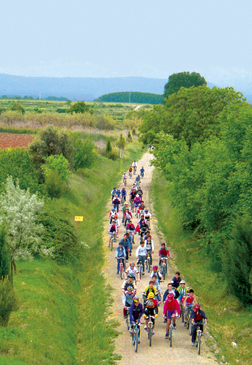 On the other side of the canal, we continue straight towards the Moncayo passing under the dual carriageway and a subsequent overpass of a rural road over the railway. A hostel is planned at Murchante Station (km 6), located 2 km from the town, but for the moment it has a rest area in the old rail yard.
After Murchante, the route returns to a region populated by vegetable gardens. From km 7.6 onwards, our greenway begins a gradual ascent over the route’s first large embankment. This high area also features a dense reed bed that is nourished by the humidity of some ponds located at the foot of the greenway. From this vantage point we can see, on our right, the hamlet of Cascante, dominated by the gallery leading to the Chapel of La Virgen del Romero.
At km 10 we will arrive at Cascante Station, where, as in the previous one, we will be able to enjoy the rest area and contemplate the curious building of the old narrow-gauge train station, located at a higher level than the modern building.
On the banks of the Cistercian Order
Once again, our route advances discreetly, levelling with the surrounding land and running between vegetable gardens and some almond trees. Little by little, before our eyes, a large white wall becomes more visible that encloses, on its grounds, a wooded area. It is the orchard of the convent of the nuns of Tulebras, whose monastery dates as far back as the twelfth century. It is called the Monastery of Santa María de la Caridad, the first female Cistercian monastery in Spain. This site is, nowadays, especially linked to the greenway since Tulebras Station itself (km 12) is currently semi-integrated into the monastic complex.
The station’s platforms and porch can be freely enjoyed by the greenway’s travelelrs. In addition to the tourist visit to the convent, where you can buy delicious pastries, in Tulebras we can enjoy the rest area located on the banks of the Queiles a few meters from the station, next to the Barillas road. As in previous cases, an overpass marks the boundary between the station area and a new section in open countryside.
Between Malón and Vierlas
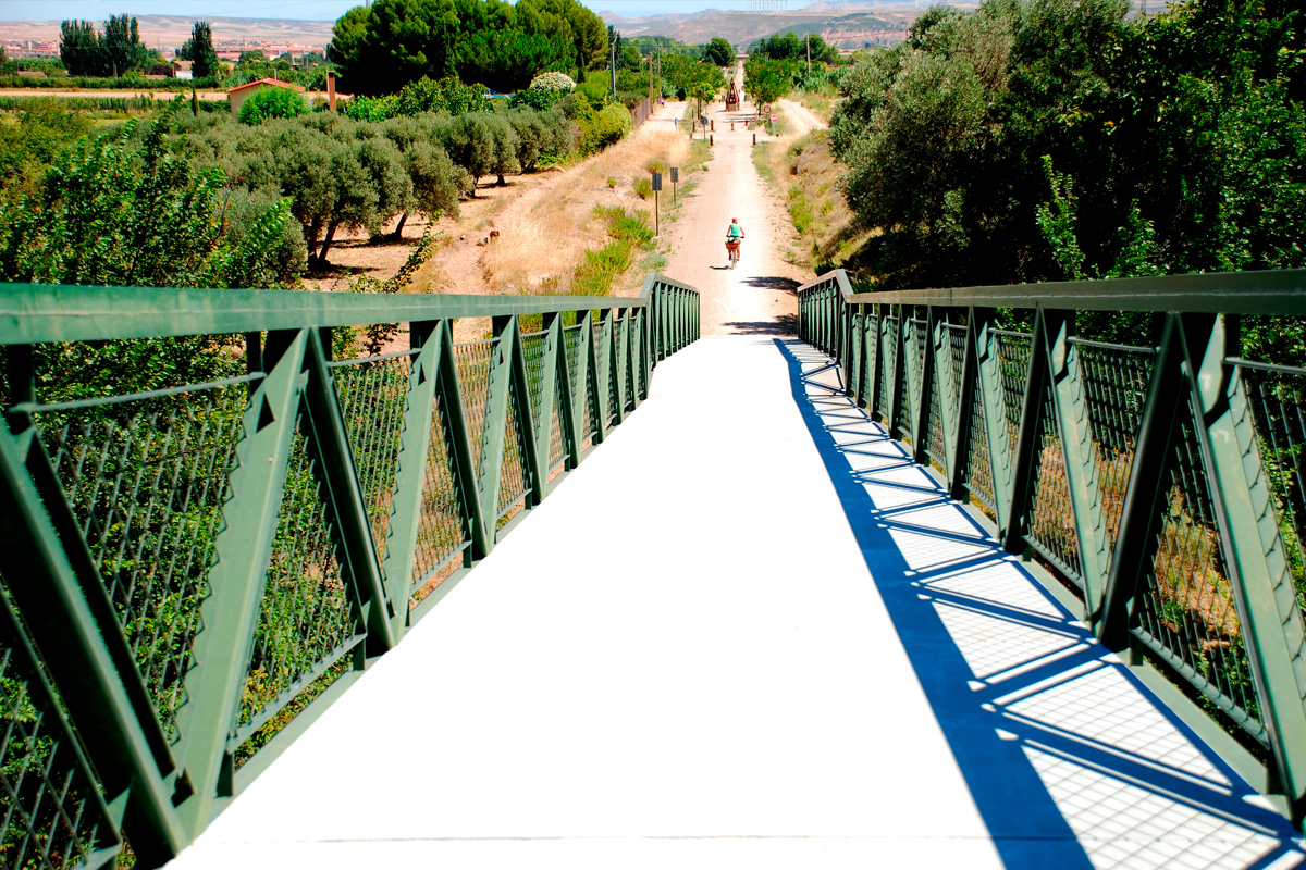 A new bridge, located just over 500 metres from Tulebras, takes us high enough to enjoy a slightly more general view of the route and its surroundings. From this altitude we can already see the houses of our next town, Malón, in the region of Aragone.
Another infinite straight stretch covers the entire 2-km distance this town. Malón Station (km 15) and its rest area leave the town centre of Malón, perched on a hill, to the left. The esplanade at the top of the hill used to be parade ground of a castle that no longer exists. However, although the battlements are missing, the layout of this square retains the watchtower characteristics of its former military use on the fertile plain of the Queiles. It now houses the Water Museum, which features the history of the Queiles River and its banks. It is worth tackling this ramp to enjoy a good perspective of the whole area.
Back at the station we will appreciate the large size of this railway site. This is due to the fact that, in the past, a sugar factory used to be located here.
Last stop: Tarazona
Continuing with the route’s tendency, another bridge serves as the starting point of our greenway’s last stage: Tarazona. To the right of the greenway there is another, narrower route. It is the one that was used by the narrow-gauge line, which, starting from this point, had a long, segregated section, with more bends, almost to the entrance to Tarazona. Our route leads to steeper areas, where some shadows appear that have been used to locate rest areas.
At km 16 we will enter a straight, deep trench that is almost 2 km long, which ends at the esplanade designed for the Vierlas halt, which was never built.
As we approach Tarazona, the persistent image of the Moncayo Massif is one of the reasons for this greenway. The landscape featuring fruit trees, flowers, vineyards and the murmur of the water of the Queiles River in the irrigation ditches, makes it very pleasant to travel along this path.
Little by little, the impressive urban centre of Tarazona becomes more and more apparent. No less imposing is Tarazona Station (km 22), whose large, beautiful and unique building hosts cultural activities and is the gateway to a town that is worth an unhurried visit due to its architectural heritage. Next to the Moncayo is one of the most beautiful and monumental cities in Aragon, which stands out for its Gothic cathedral, in which an exceptional Mudejar and Renaissance legacy coexists. In addition, you cannot miss the Jewish quarter or the Monastery of Veruela, the first Cistercian monastery in Aragon (12th century).
