Torrevieja Greenway
Route Description

The Torrevieja Greenway, built on the salt railway of the Albatera-Torrevieja line, arose due to a cooperation formula allowing the elimination of the high-voltage line that crossed the salt lake at the same time as the construction of the greenway. In short, a public service investment with a dual purpose.
Let's get going
The restored railway complex of the town of Torrevieja is located at the confluence of the avenues of La Estación and Urbano Arreguí, in the vicinity of Acequión Beach and in the western part of this town in eastern Spain.
The old Torrevieja station is made up of the passenger building, three attached warehouses used for stage, the public lavatory, the cargo warehouse, and the old depot with wide arched doors where the locomotives were kept and maintained.
One side of this landscaped area is delimited by the Acequión. What at first glance might seem like a river, is actually the channel along which seawater flows into the Torrevieja salt flats; once evaporated, it leaves behind the brine. This engineering work is therefore of vital importance for obtaining salt, the main reason for the existence of the extinct Albatera-Torrevieja railway branch. A stone bridge still exists over the Acequión, a witness to the passage of a more modest convoy: the wagons loaded with salt that went from the salt flats to Eras de la Sal, a warehouse and pier from the eighteenth century that had a wooden dock to unload the salt wagons onto the ships. The sailors took the salt to countries as far away as Cuba, and on their return from those tropical lands they brought sounds and songs that gave rise to the habanera genre. But let's move beyond singing.
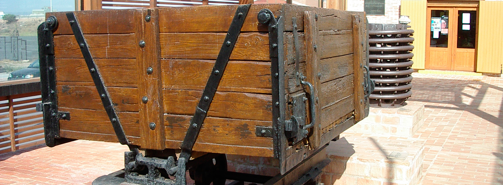
Outside the landscaped area is the goods dock. Built in colourful brick, lined at the top with wood and featuring a striking roof. Preceded by a salt wagon and a coil on display, the warehouse has been restored as an Interpretation Centre that shows the evolution of the techniques used for salt extraction and the history of the Torrevieja salt flats. However, it is advisable to check the opening season and hours.
Urban section

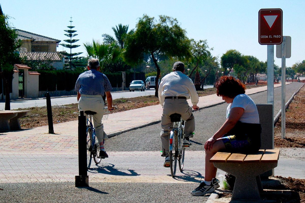
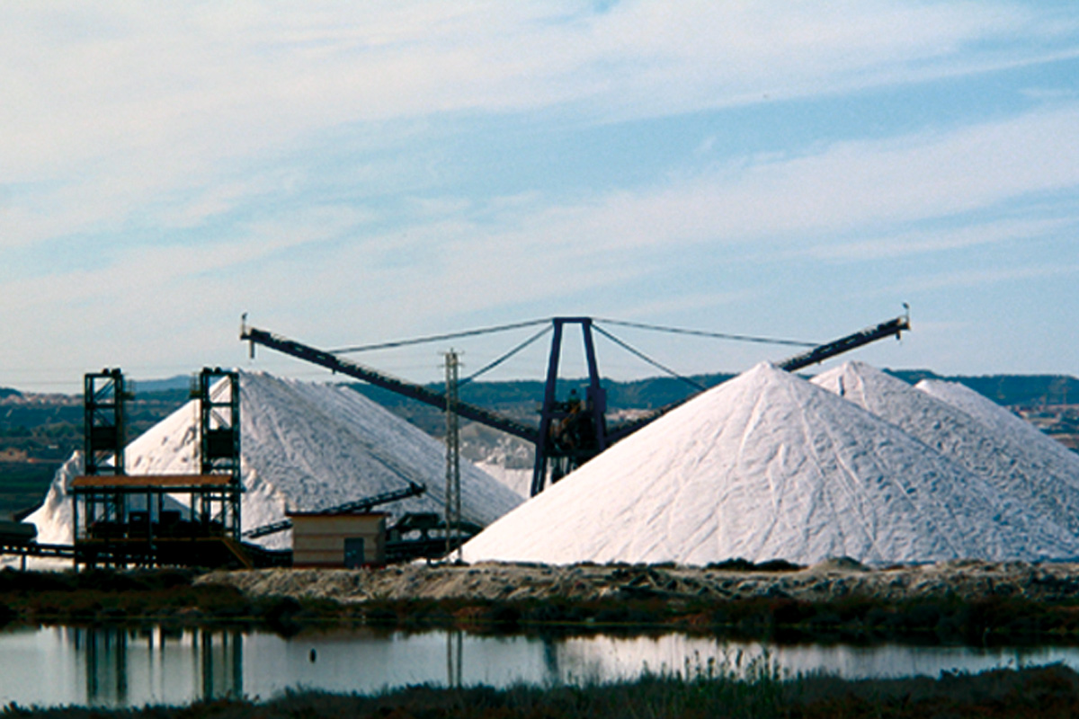
The track starts on the left side of the interpretation centre and begins its flat itinerary parallel to Avenida de la Estación, leaving on the left the old locomotive depots, now used for healthcare. It then passes under the ring road of the N-322 road and comes across white salt mountains, conveyor belts and other facilities of the salt industry. After these views, the road enters a long straight stretch with several level crossings (be careful!) bordered on both sides by semi-detached houses surrounded by colourful gardens, the very essence of this holiday resort that extends –thanks to people having their second residence here– inland, once the beachfront has been completed. Thus, the greenway is a healthy, low-stress and appealing alternative to reach Acequión Beach. In this section, cyclists loaded with sunshades and suntanned pedestrians mingle with athletes and nature lovers carrying binoculars, who extend their route as far as the salt lakes.
Next to the salt flats
At the sixth level crossing (km 3.4), the last and most dangerous one, the straightness turns into curvature, the double lane for pedestrians and cyclists gives way to a single trail with an asphalt surface and, most importantly, the greenway leaves the urban life behind to enter a reedbed, a natural barrier that prevents us, at some points, from seeing Torrevieja’s salt lake. This reedbed populates the margins of the pink lake and, in addition to being the only perennial touches of green on this route, is a useful refuge for a multitude of birds: stilts, white shelducks, Montagu's harriers, avocets, Kentish plovers, common and little terns, and curlews that make the lagoons of Torrevieja and La Mata an important ecological site. At the end of this reedbed we come across a rest area. And its location couldn’t be better, because this is where, for the first time, we can appreciate the calm waters and the immensity of the rose-tinted salt flats.
After the rest area, the greenway borders the shore of the lagoon, which is fenced off with metal mesh. In such a somewhat lunar landscape, it is worth praising the very poor shrubs, such as salicornias, rushes, saladillas and senecios, which proliferate there in conditions of hypersalinity. Please note that bathing in the lagoons is completely prohibited.
At km 5.5 the greenway passes a second rest area and, progressively, moves away from the pink lake through the El Chaparral anticline, the strip of land that separates the lagoons of Torrevieja and La Mata. An inhospitable and solitary strip of stony soil that makes agriculture impossible. Finally, the greenway ends on the road leading to the town of Los Montesinos, featuring wide panoramic views of the lagoon of La Mata. On this road, just 200 m to the right, we can link up with the bike path that returns to Torrevieja parallel to the CV-90 road or go up to one of the observation posts overlooking the lagoon of La Mata. In this way, the greenway enables us to follow a circular route that is almost completely free of motor vehicles.


