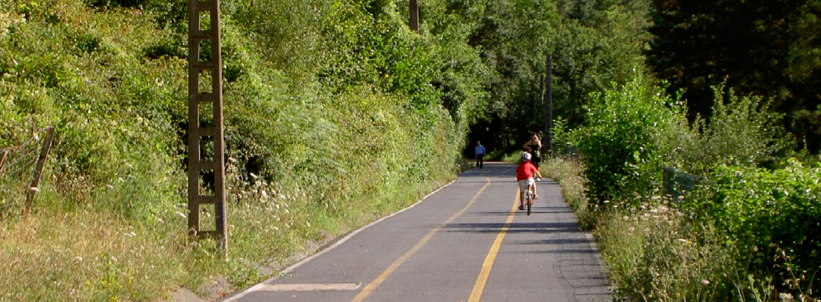
Atxuri Greenway
Route Description
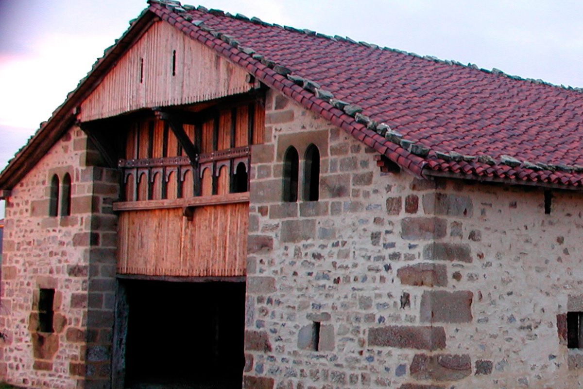
 The Atxuri Greenway, built by the Provincial Council of Bizkaia, starts in the historic town and churchyard of Mungia. More specifically, in the lower part of the Uriguen town park, next to the recreational area, children's games and car park located on its western side. This green area, on top of a hill, is shaded by very old trees, featuring both exotic and native varieties. In this regard, different plaques identify some specimens and inform us about their species, making a unique arboretum. For the enjoyment of our senses, walks are drawn on the grass that invite us to go up the park as far as the Landetxo Goikoa farmhouse (16th century), considered the oldest in Bizkaia. However, the peaceful atmosphere that characterises the gardens of Uriguen is disturbed –and in a big way– once a year. But the hubbub that, on the occasion of the patron saint festivities, is produced by the sukalki (meat stew with potatoes) contest in the fields of the park is welcome. If travellers drops by Mungia that day, congratulations!
Starting from Mungia
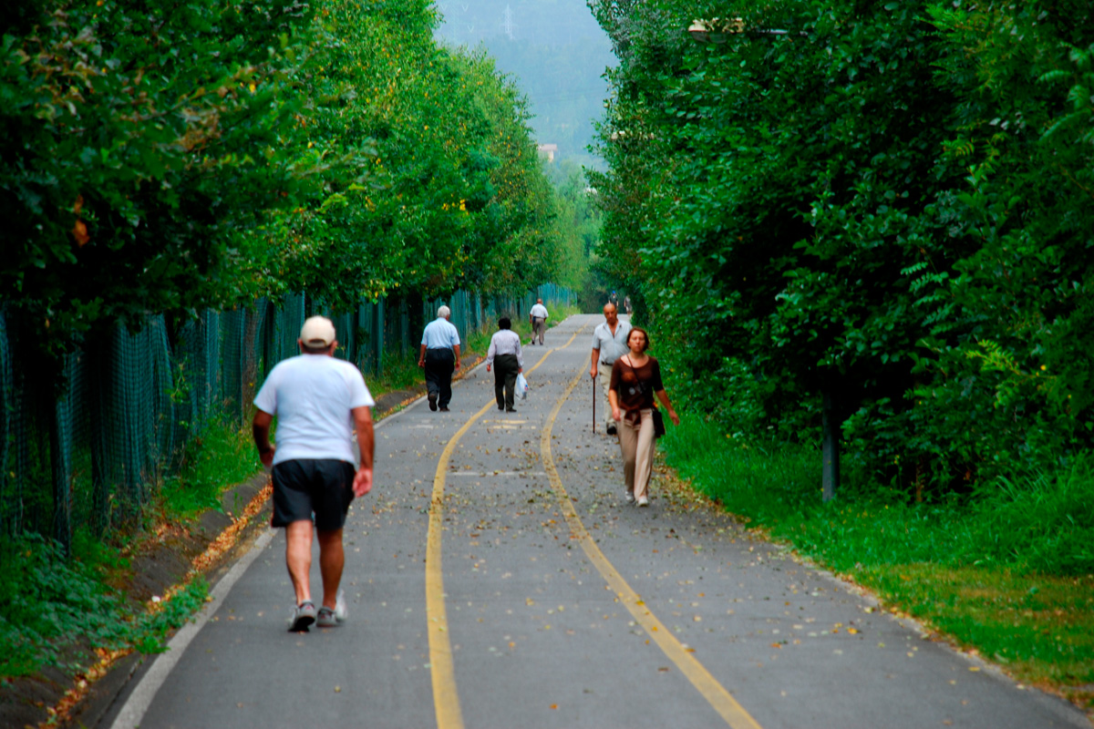
Following the indications of the ibilbidea (itinerary), from Telmo Zarra Etxetaldea Street, with the playground at our back, the greenway begins its journey through the urban edges of Mungia and green meadows. After crossing the Atxuri River and passing under the Derio-Mungia dual carriageway (BI-631), the route enters a long straight section between the slope of the dual carriageway and the watercourse, bordered by ash trees, oaks, poplars, hazelnut trees, maples, alders and willows. These trees light up the autumn and spread their leaves over the three lanes painted on the asphalt. The Atxuri River is one of the many small streams that cross this area before giving way to the Butrón, a large river that forms the backbone of the Mungia region. Although they do not carry a large volume of water, these small streams watered the fertile vegetable gardens and extensive pastures. They also had enough strength to move the wheels of the mills and the hammer of the forges. This explains the prosperity enjoyed by the peasants, who loaded the train to the brim with milk, calves, vegetables and other goods that supplied the capital's market.
 At kilometre 0.6 we leave aside the Atxuri neighbourhood, once devoted entirely to livestock and agriculture. A bridge over the river and its extension, a small concrete walkway, enable us to momentarily turn off towards this neighbourhood.
Back on the railway line, shortly before kilometre 1, we pass by the earth turn-off that leads to the Atxuri mill (Atxuriko errota). Mungia came to have more than twenty mills, leading the production of flour in these parts. Of those twenty, four are still in operation, which, unfortunately, do not include the one in Atxuri.
The greenway passes under the dual carriageway and, without leaving the river, takes a wide and short railway bend before entering another long straight section. Although just as flat, this second straight stretch is even more peaceful, as it moves away from the sound of the vehicles driving along the dual carriageway and crosses the meadows located on the river’s right-hand plain, in the heart of the small Atxuri Valley. The fertile plain features gentle hills with meadows and groves of pines, oaks and eucalyptus trees. This section is so pleasant and flat that it has become a favourite of Mungia’s residents, who flock here, almost in droves, to enjoy it nearly every day, come rain or shine.
Zabalondo Halt
The track twists to the left and reaches the old Zabalondo halt (km 2), whose hut still houses the descendants of the former operator who, whenever the train passed by, would lower and raise the barriers at the level crossing on the local road to Laukariz. After crossing carefully, on the other side of the road the asphalt lane merges into the steepest ramp of the entire route, moving away from the Atxuri River once and for all. On this slope, locomotives had to run full steam ahead, covering the 12 kilometres (powered by coal until 1952) in 50 minutes.
The steep ramp gives way to a sharp bend around the Zabalondo industrial estate. The industrial warehouses block the views of the valley, and all our attention is centred on the meadows and undulations on the left. On our way around to Zabalondo we will cross over the road that goes up to the Olena Reservoir (km 2.7), whose calm waters are bordered by a nice country road.
The last stretch is different, the icing on the cake. The route runs along a mountainous slope covered with trees, becoming like a high balcony overlooking the wide valley of the Butrón River. In such a privileged position, it features panoramic views of green pastures, farmhouses and gentle, mountain undulations. The route ends in a large field overlooking the dual carriageway, at the foot of Monte Artebakarra.
