Campo de Cartagena Greenway
Route Description

The Campo de Cartagena Greenway begins its journey in the Cartagena neighbourhood of Los Dolores, where we can already see orchards and peri-urban neighbourhoods. In order to cross the AP-7 motorway (km 2), the safest option (signposted) is to the right through the underpass.
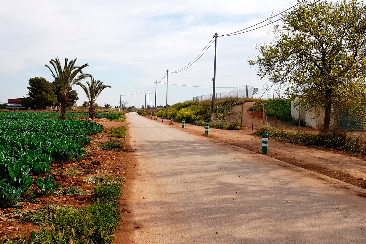
It is a kilometre shorter and is not shared with other vehicles, but in case of heavy rain it is usually flooded. After the highway, the Greenway lives up to its name. It traces a long straight line in the vast fruit and vegetable plain of Campo de Cartagena.
There is a rich variety of crops on both sides thanks to the trickle irrigation and the water that comes from the Tajo-Segura transfer. It crosses the RM-605 road at the entrance to La Aljorra (km 7.6), before skirting the urban centre of the district of Fuente Álamo. After La Aljorra (km 8.7), the straight line between the orchards begins again.
Endless Plains
A fence prevents the original railway line from being traced because the old road has been occupied by a plastics factory. The Greenway's continuity is guaranteed on an alternative and signposted trail that goes around the fence along the perimeter of the Casa Grande estate to complete a long loop of 4 km.
The trail returns to the original track along the railroad at the foot of the Sierra de Los Victorias mountain ranges, covered with aromatic vegetation and esparto grass. This is the counterpoint to the rest of the trail. In such a wild environment, the Greenway winds and cuts into several trenches. Although only for a short time, because starting from the bridge next to Tío Garrafo house (km 18.6), it once again becomes a long straight line through orchard plains with rows of fruit trees and farms. You will notice the smell of the major pork production area in Fuente Álamo.
The crossing at the E-15 highway (km 20.9) precedes the section through the streets of the urban centre of Fuente Álamo, a large town with a wide variety of services. After passing through Fuente Álamo (km 21.7), the trail continues on a new straight line through the orchards and fruit trees, marked by the small village of Campillo de Arriba (km 27.6).
At km 29, the Greenway is closed where it passes through the La Loma estate. On the left side, an alternative path goes around the perimeter fence, recovering the trail that has been developed as a Greenway on the other side of the property (km 30.1). Once again on an infinite straight line, the landscape changes from the greenness of the orchards. Pig farms and dry land take centre stage. The fields are abundant with traditional crops such as almonds, olives and cereals.
On the way to Totana
 The railway is divided into two in La Pinilla (km 32), a district of Fuente Álamo, 600 m from the Greenway: on the left, the Mazarrón Greenway descends towards the San Cristóbal mine hill.
Towards the right, the Campo de Cartagena Greenway separates little-by-little from the previous trail and crosses the same riverbed on a twin bridge.
On the way to Totana, the descent begins through the undulating and arid landscape of the Guadalentín Basin, where there are high embankments that reveal a bird's eye view of alternating fields of fruit orchards and wasteland, and stretches of colourful and earthy walls.
This descent passes through the old underpass of the RM-E11 highway (km 36.5), today a compact piece of concrete that has been replaced by a brand-new walkway.
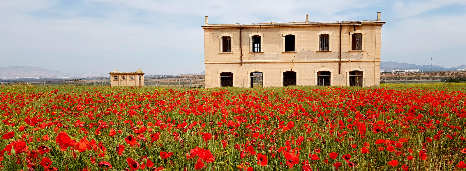
Cross the RM-23 (km 39.8) next to Condado Alhama resort. Look for the underpass to the left that goes under the highway. On the opposite side, continue to the right until the original trail is recovered once again to continue on a more slight descent through a wide open space covered by cereal crops in spring, where the lone El Romeral Station still stands (km 40.8).
Starting from the lonesome station, the Greenway goes straight along the Guadalentín Plain, a vast plain curdled with orchards. This landscape belongs to the Saladares del Guadalentín protected natural space. This stretch is usually shared with agricultural vehicles that leave the terrain roughened.
At km 45.6, the trail crosses the most important structure of this railway: the small viaduct over the Gualalentín. On the other side, the Campo de Cartagena Greenway becomes a paved road that is shared with other vehicles to the urban centre of Totana, facing the towering horizon of the Sierra Espuña mountain ranges. There is not much traffic and the milestones along the Greenway are maintained, although please do proceed with caution.
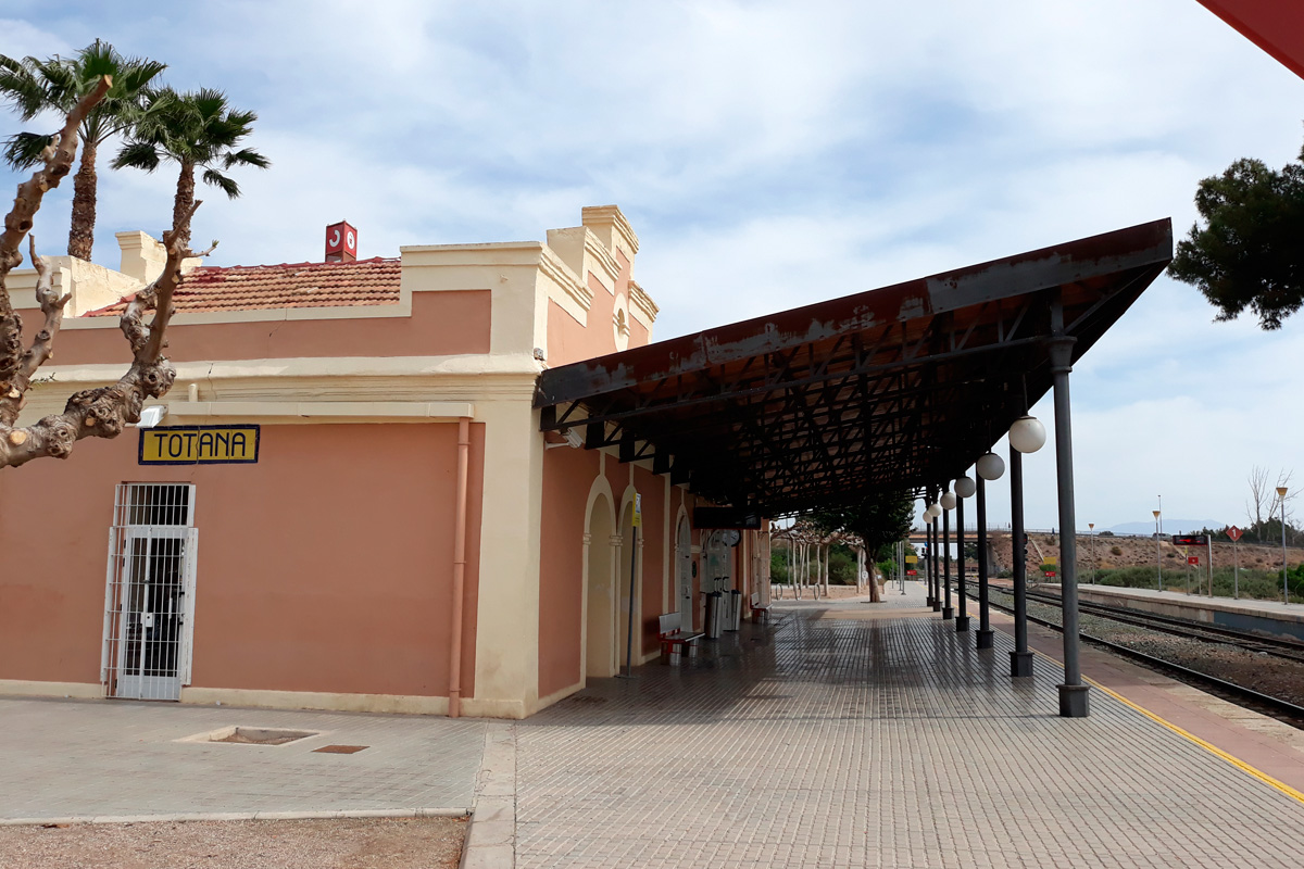
When arriving at the Totana urban centre, continue along the bridge that goes over the train tracks to get to the Totana Railway Station (km 53).


