Carrilet Girona - Sant Feliu de Guíxols Greenway Nature Trail
Route Description
 Before starting with the route that will take us from the city of Girona to the Mediterranean coast, it is worth remembering that the Carrilet Olot-Girona Greenway, with a length of 54 km between this beautiful medieval capital and the Pyrenean town of Olot, also departs northwards from the city itself.
Girona
The route along the old line of the Sant Feliú “carrilet” begins in the heart of the provincial capital, Girona, on Emili Grahit Street, next to the Paisos Catalans roundabout. From this point, the itinerary leaves the city alongside the waters of the Onyar.
In 1.5 km we reach the Creueta neighbourhood, where the railway also served a flour factory. This short section has been adapted for the visually impaired with information signs in Braille, a guide for walkers with a cane in the form of a metal tube and an app featuring an audio guide in different languages that can be downloaded on the www.viesverdes.cat website.
From here the greenway follows a straight embankment that crosses a beautiful plain on the banks of the Onyar, a river that is reached after the greenway dodges the Girona ring road. Until the greenway became a reality, crossing this river was an impossible task, since the old bridge’s metal structure disappeared along with the railway. Today, an elegant metal walkway crosses the watercourse, surrounded by a dense gallery forest.
The Quart straight stretch
 It is worth mentioning that in the next section, between Quart and Santa Cristina d'Aro, over the last few years several rehabilitation projects have been carried out on slopes and bridges to make them accessible to travellers in wheelchairs or adapted bicycles and, naturally, more comfortable for everyone.
On the other side of the river, a long and clear straight stretch, about 1,500 metres long, easily crosses an area of farmland, featuring some beautiful specimens of stone pines at the side of the greenway. The first village on the route is Quart (km 6). The track enters it along Carrer del Tren. Quart Station is the first example of the excellent condition that characterises most of this railway’s stations; it now houses a municipal exhibition hall.
From here, in addition to the greenway, there is another series of circular itineraries that can be added to this excursion. The urban section through Quart continues for about 500 metres, until we come to a road junction.
Here, a new greenway section was built to replace the one occupied by the road. It crosses under the asphalt and, running alongside it, it rejoins the original railway line about 500 metres further on. After crossing the Riera Cort, we reach Llambilles Halt (km 8), another example of the old railway buildings’ perfect condition. A drinking water fountain can be found here.
In pursuit of Cassà de la Selva and Llagostera
The route continues its straight route through a pleasant grove. After passing the Can Torrent area, the route takes a large bend, where Llebrers Halt (km 10) used to located. Finally, we reach the Cassà industrial estate, which is crossed by a bike path that leads to the town and Cassà Station (km 14), which, as in the other cases, is in impeccable condition.
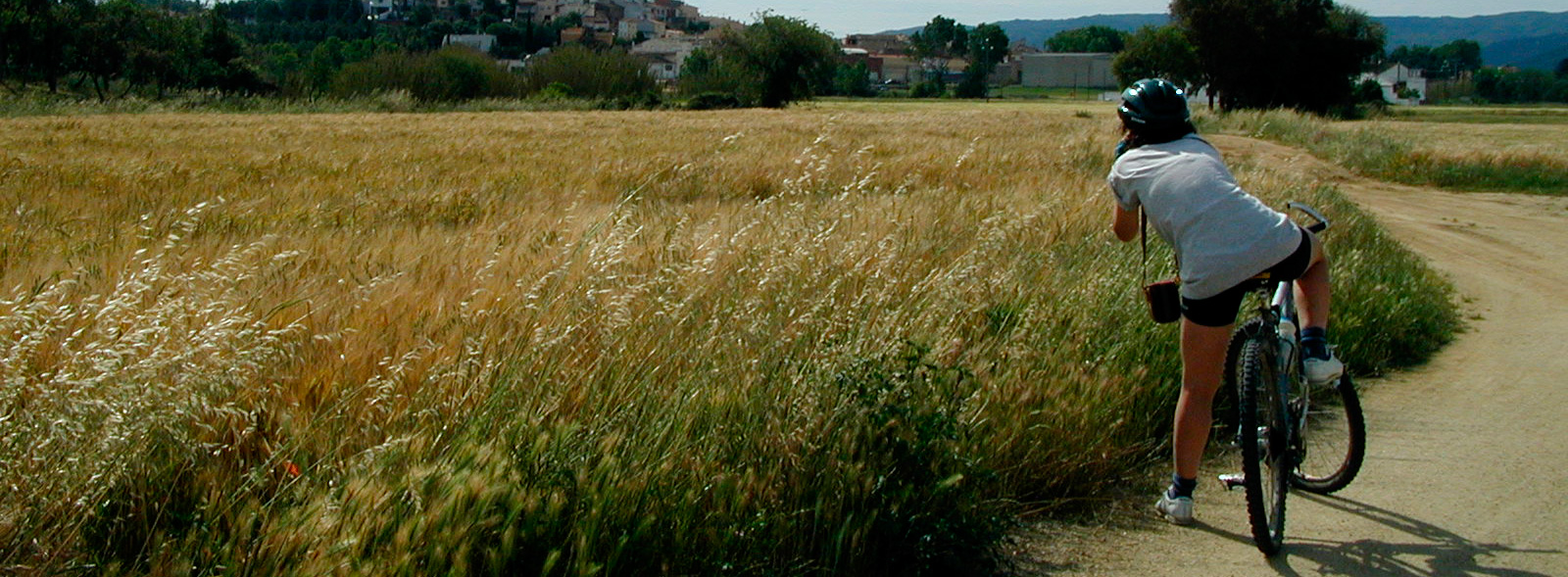
The pleasant itinerary through Cassà de la Selva finally leads to an embankment with an unmistakable railway flavour. This clearing, bordered by reed walls, precedes the next section (900 metres long), which crosses an agricultural plain, only altered by the odd watercourse crossed by more footbridges, such as the Verneda Stream.
Shortly after crossing this stream we reach the location of Esclet Halt, hardly any of which remains.
The greenway continues along a very straight stretch in which pedestrian walkways have replaced the railway bridges. The farmland and cork oak groves alternate in the landscape, as we head towards the ecclesiastic acropolis, which used to be a castle, surrounded by the scattered houses of Llagostera.
Between Cassà de la Selva and Llagostera there is a turn-off, on the right, which marks the connection with a new section, the Thermal Route, which connects with the town of Caldes de Malavella, where there is a train station (although there was never a narrow-gauge train). This additional stretch of almost 15 km runs through oak forests, with a compacted earth surface, inviting us to visit spas, hot springs and Roman Baths.
Returning to the “carrilet” 6 km from Cassà, and after going over two level crossings, we will arrive at Llagostera Station (km 21). Located in an urban park, it now houses the tourist office. A gentle ramp that starts behind the park takes the greenway up to the road.
Alone in the forest
 After passing the sports centre, about 700 metres away, the greenway runs into the C-65, a high-traffic road that occupied a section of almost three kilometres of the original railway line. Despite the proximity of cars, a bike lane has been built parallel to the road so that we can travel safely. From here we can enjoy views of the forest carpeting the neighbouring mountains. We then come to a road junction on the C-65, which we cross under one of the branches of the road, finally arriving next to the ruins of an old level-crossing control hut.
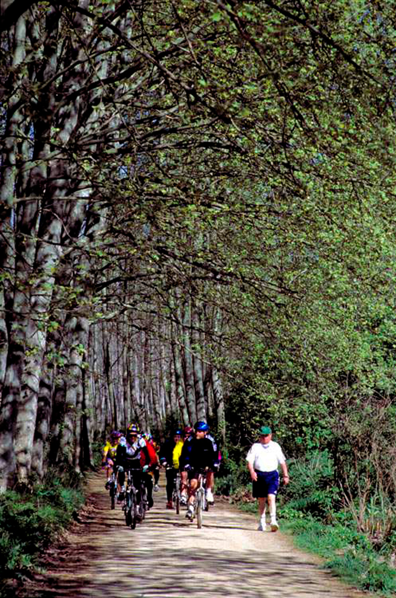
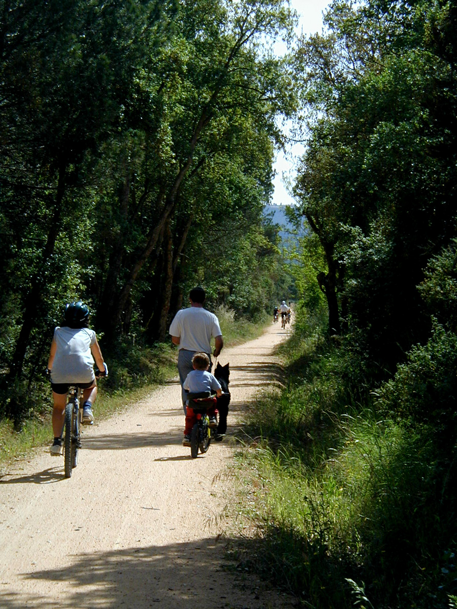
From here the greenway separates from the road, towards the left, starting what is undoubtedly the route’s most beautiful section, which ends at Font Picant Halt. It will be 4 km immersed in a dense expanse of Mediterranean forest dominated by cork oaks, under whose crowns the greenway twists as it passes by the streams. This beautiful landscape is common in the pre-coastal mountains of the Empordà.
At Baixador de Font Picant
In the middle of this forest, 9 km further on from Llagostera, we reach Font Picant-Bell Lloc Halt (km 29). These two toponyms are well suited to this place: the first refers to the presence in the surroundings of a spring of very healthy waters and the second ("beautiful place") points to the beauty of these wooded areas. So much so that the railway company built a restaurant in the station, which is still open despite the closure of the railway. Undoubtedly, a good stopover place.
The greenway continues towards more open spaces, featuring spacious meadows bordered by the shade provided by the wide crowns of stone pines. In this section, the route runs along straight stretches as far as Santa Cristina d'Aro, the first town in the coastal region of Baix Empordà. Before reaching the town, we come across the station that has been rehabilitated as a tourist information point. It is accessible to people with reduced mobility, including adapted toilets.
Baix Empordà and Sant Feliu
As in all previous cases, Santa Cristina Station (km 32) is in perfect condition, having been restored as a tourist office. The greenway is bordered by houses, dominated by the beautiful image of the parish church.
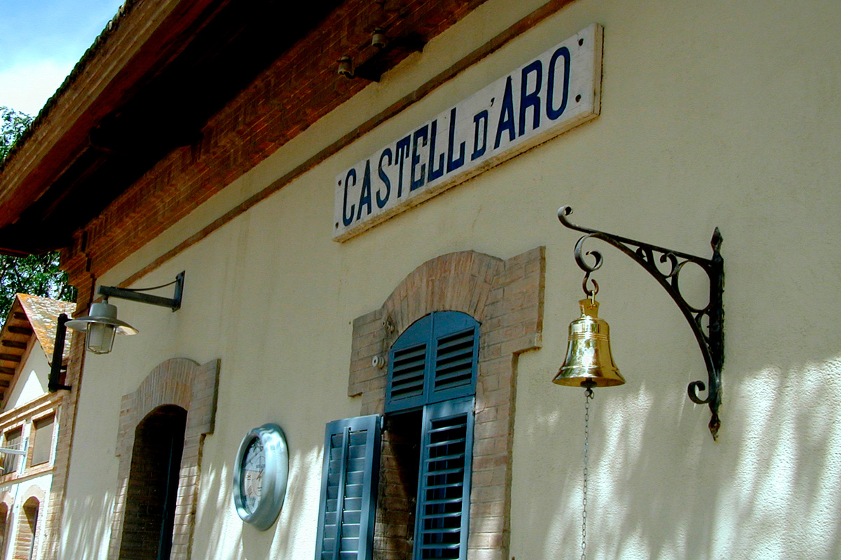
The section leading to Castell d'Aro also required the construction of a new route, parallel to the asphalt, but safely separated from the road. After the last houses, a long straight stretch through the fields brings the traveller to the penultimate stage: Castell d'Aro. The profile of the bell tower and the battlements of the castle announce the arrival of town, whose small station, located at km 35, reserves one of the route’s most curious railway surprises.
The railway site lost its 75-cm-wide tracks 30 years ago, but now much narrower rails (5 inches) have taken over. Small trains, on which people can even ride, run on these very narrow tracks in a circuit that surrounds the station. The old rail yard now features a sheet of water, which this Lilliputian railway crosses by means of an elegant metal bridge, a structure that imitates the one that the Sant Feliu “carrilet” had to cross the Riera Ridaura. In addition, the station building houses a mountain bike centre for anything we may need.
After this short "journey" by train and the station, the greenway, surrounded by trees, turns sharply to the south to head directly for Sant Feliú.
It was already pointed out that the original railway bridge over the Ridaura no longer exists. Now a modern, cable-stayed concrete walkway crosses the watercourse. After crossing this lavish feat of engineering, we go under the Platja d'Aro road and start an ascent far from the roads, thanks to a long, straight embankment that enables us to gradually gain height.
Throughout these last kilometres there are several crossings over roads with little traffic, but we must always cross carefully. Two kilometres further on, the greenway crosses the S'Agaró road by means of an underpass and enters Sant Feliu. This was the location of S'Agaró Halt (km 37). This is the best place for those who want to go down to the warm waters of the Mediterranean, since the golden sands of Sant Pol Beach are just 200 metres away.
Here, the route begins a suburban section that leads to the old station, which is in impeccable condition and has been converted into a school, as is the case of many old stations in France. Loading bays, workshops, the passenger building and other structures now host Sant Feliu’s bustling youth.
We can even still see, at the end of the station, an empty space where the small locomotives of the “carrilet” were turned around to return to Girona. One of these small locomotives has been kept as a monument in the port of Sant Feliu. This is not a very strange location, since a branch of the railway went down to the docks of this small Mediterranean fishing ground to pick up or leave cargo for ships.
Today, we can find a km 0 of the railway just in front of the so-called “tinglado,” the old warehouse in the port used for loading and unloading between the ships and the small train, since a freight branch of the railway reached there. Its rehabilitation and conversion, almost as an interpretation centre, enables us to learn about the history of these routes and the small “carrilets.” It is now unique site: a bar, restaurant and museum space, featuring a peculiar decoration of historical photographs as well as the old locomotive and one of the railway’s wagons. The perfect finishing touch to this greenway.


