Carrilet Olot– Girona Greenway Nature Trail
Route Description
 From the Pyrenees to the surprising city of Girona
There are short-term plans to link this greenway with the Ferro i del Carbó Greenway –15 km between Ripoll and Sant Joan de les Abadesses. However, there already exists a 22-km connecting section, via Coll de Sentigosa, that is signposted from Olot. If we add to this the 39-km Girona-Sant Feliu de Guíxols Carrilet Greenway, we can travel from the high Pyrenees to the Mediterranean Costa Brava along more than 150 km –a real challenge!
The Carrilet Greenway is undoubtedly one of the veterans on the national scene, having been built in the 1990s. The route is mainly characterised by a steep downhill slope from Olot (440 metres) to Girona (70 metres), rising to an intermediate height of 600 metres at the Coll d'en Bas. You are therefore recommended to start in Olot, which will enable you to enjoy the green landscapes of these Catalan regions in a more leisurely way.
From Olot to the mountains
The route starts at Olot Station, whose passenger building is in perfect condition. Next to the Fluvià River and Font de Sant Roc Park, the route leaves Olot through an artificial tunnel below the Chapel of Sant Roc. The long trench after the tunnel gradually opens up to reveal, on coming out of it, rural landscapes featuring a lot of character and serenity.
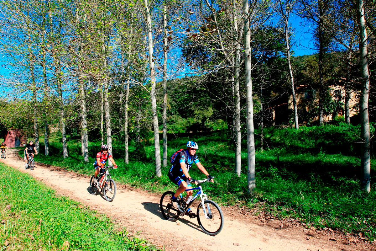
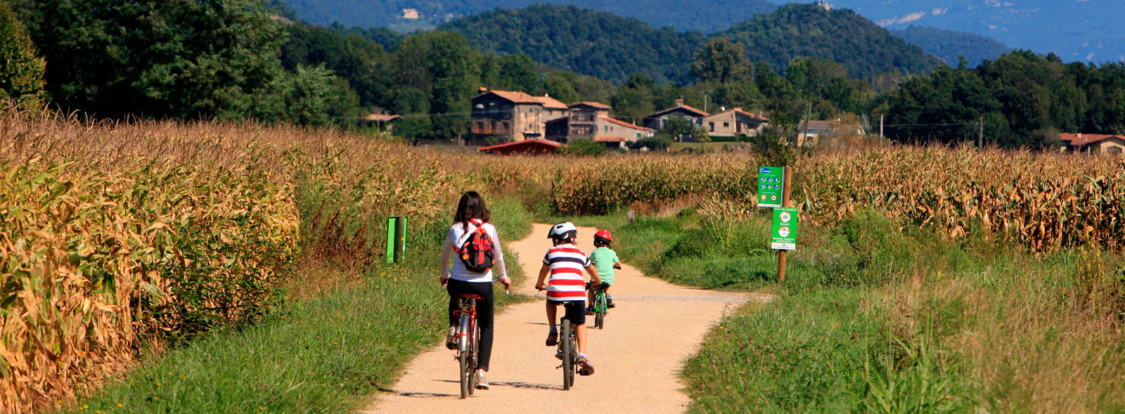
At km 2.5 we arrive at the old Sant Privat halt, which still features its modest platform. From here, a long straight stretch makes it way through the dense cornfields that carpet these plains in the shadow of La Garrotxa Nature Reserve’s volcanos. Soon, we will come across La Codella Station, which houses the nerve centre of Pedra Tosca Park. The route thereby brings travellers to the locality of Les Preses.
Located on the outskirts of the village, Les Preses Station, which has now been converted into an environmental information centre, is an obligatory stopping point where we can get to know more about the natural surroundings.
 On leaving the station, the original railway route disappears among the fields. However, for our peace of mind, the greenway signs show us the route to follow along a series of paths that, 500 metres further on, cross the road. From here, the greenway heads towards Sant Esteve d'en Bas (km 7), and in that locality we leave the old route, which has been blocked in various places by the new road. Nevertheless, a wide, winding path, which is signposted and features a fountain, borders an idyllic stream and fields of crops and orchards. Here we gradually gain height and, after carefully crossing the new route of the C-152, we will find the old road on the other side. Travelling along its weather-beaten and almost-forgotten asphalt, we will go up slight ramps until we reach, at km 11, the Coll d'en Bas.
In this section, the railway line, which crossed the mountain range through a tunnel, was occupied by the new road, which made use of the narrow railway tunnel. This ascent of barely 1.5 km, however, features beautiful views of the Val d'En Bas, which is known here as "the Switzerland of Catalonia." The easy descent from the mountain pass leads to the present-day road on the other side of the tunnel, from which point the railway line, to the right of the road, regains its independence and is fully passable (km 12).
The descent to Les Planes
A steep descent enables us to reach the Sant Miquel de Pineda halt (km 14). Next to the platform stands the bucolic Romanesque Chapel of Sant Miquel. Downwards, the slopes increase on the way to Sant Feliu de Pallerols. After going through a narrow valley and crossing the Bruguent River, the greenway sticks to the road to access this locality (km 17), where its station has been rehabilitated as a bar and information service. It is worth visiting this beautiful locality, which is crossed from one end to another by the Bruguent River, at leisure.
On the way to Girona, the “carrilet” route continues towards Les Planes. In this section we pass by the foot of the thousand-year-old Hostoles Castle, located on top of a watchtower overlooking the greenway. In Les Planes (km 22), the track takes a wide bend to lose height.
La Vall d'Hostoles

Les Planes marks the beginning of one of the most attractive sections. The route enters a steeply descent through forests and next to the river, far from the road and the towns. After crossing bridges and spectacular trenches, we reach the Font Picant halt (km 28). An extensive stairway descends to where an endearing hotel once stood. Nearby, thousands of litres of spring water are bottled daily to be consumed on tables throughout Spain. The greenway becomes narrower and approaches Amer (km 30), the railway's logistics centre. The station is now an information centre. The old workshops now house the local firefighters, while the passenger building, loading bay and peculiar canteen are also in relatively good condition.
Until a short time ago, a kilometre further on, the railway line disappeared under the road and the old “Camino Real” route was used; the latter featured some steep ramps and a cement surface. However, work was recently carried out to improve this section’s accessibility. Once we reach the road, we will have to travel alongside it again as far as the nearby bridge over the River Ter (300 metres). The old road reserves its bridge for the greenway’s travellers, leaving the renovated railway bridge for the fast cars.
On the banks of the Ter
On the other side of the river, El Pasteral Station (km 34), marks the entrance to a very different section. A straight stretch makes it way between the crops and reaches, 2 km ahead, the locality of La Cellera de Ter. The railway crossed the Riera de Osor and entered, in just 1 km, Anglès (km 37). This town with a strong medieval flavour still has its station. However, it lost a large part of its railway tracks in favour of an alternative route alongside the asphalt. Even so, it is worth strolling through its cobbled streets that evoke medieval times.
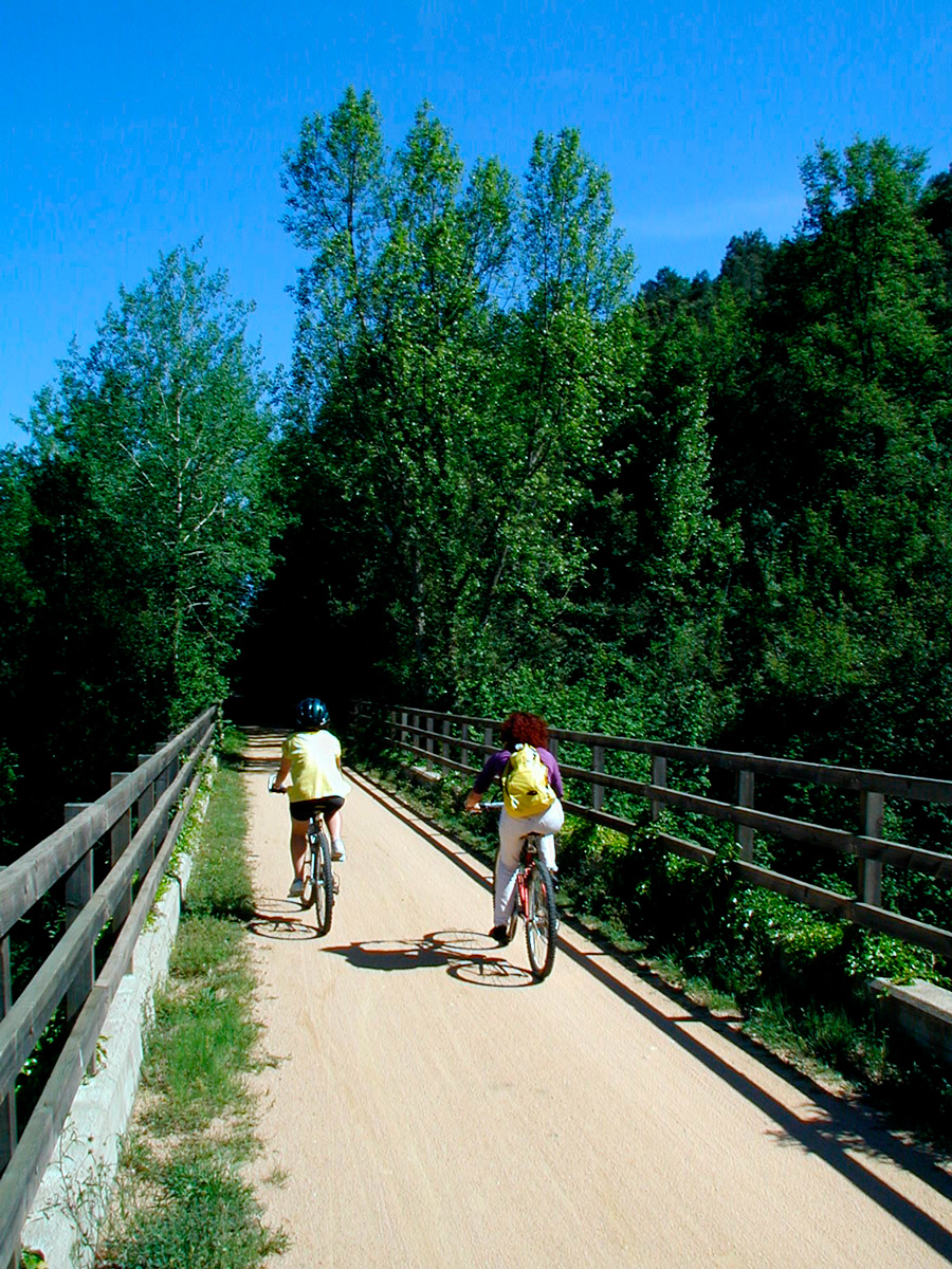
From Anglés, the greenway runs alongside the road as far as Girona. The River Ter flanks the “carrilet” route on the left, while the latter’s stations follow one another: Bonmatí (abandoned), Bescanó (rebuilt and now used as an information centre), Salt and, finnaly, Girona. The entire greenway runs placidly through leafy poplar groves, passing by such spectacular places as the Pilastra mountain pass (km 49).
From here on, the greenway leaves the railway route shortly before reaching Salt (km 52). From this town there are two ways to go to Girona: one, through the town centre; the other advances behind Salt Station, entering Girona via the Can Gibert del Plá neighbourhood. We recommend a visit to Girona’s spectacular old town.
Those who are feel like more, after completing this route, can continue as far as the Mediterranean Sea thanks to the Carrilet Girona-Sant Feliu de Guíxols Greenway.


