Greenway Nature Trail of the Renaissance (Sierra de Alcaraz)
Route Description
 The greenways located on the unborn Linares-Baeza - Utiel railway already now stretch for more than 143 km in the provinces of Albacete and Jaén. The one we describe here is known as the Sierra de Alcaraz Greenway and is 77 km long. The next section Reolid – Segura (46.5 km) is described elsewhere on this website as well as the Guadalimar and Linares Greenways.
We hope that this long itinerary, which is built little by little, will, in the medium term, form a continuous route between Albacete and Linares-Baeza. Without a doubt, a highly attractive, long-distance itinerary.
The foothills of Albacete
Our route starts (km 0) in Fiesta del Árbol Park in the city of Albacete. From here we will follow the Canal de María Cristina Nature Trail and its branches. By following the signs and going along several sections of this network of canals that have been converted into walking routes, we will see the one identified as the Don Quixote Route. This leads to a rest area, which is where the first section of the greenway really begins (km 6.5)
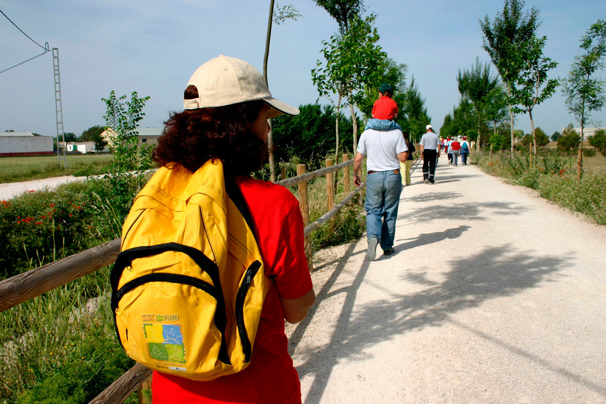
The route starts as an asphalt trail that will become, a little further on, a wide dirt track that advances relentlessly in long straight stretches, passing through completely flat terrain dotted with cereals and second homes, until it reaches the rest area next to San Jorge Station (km 9). This infinite plain sown with corn, wheat, garlic, alfalfa or potatoes advances without respite, following a route with endless straight stretches.
In complete silence, the track will cross several overpasses and pass by Santa Ana Station –the only elements that reveal that this route was originally intended for trains.
As it crosses the Tagus-Segura diversion channel (km 16.2), the plain of agricultural fields features vegetation made up of kermes oaks, stunted holm oaks and a shrubby tapestry of rosemary and esparto grass. In view of the route’s straightness and flatness, this change of scenery will be a gift for the senses.
Balazote detour
 An interruption of the route at km 25 forces us to abandon the railway line. Guided at all times by kilometre posts of the Don Quixote Route, we will turn right along a trail that leads to km 328.8 of the N-322 road. From now on, we must be very careful since we have to travel along the road’s side shoulder for almost 4 km towards Alcaraz. We will gradually draw closer to the town of Balazote and the reddish hills surrounding it. This will be the best point if we want to access the town.
Although its name comes from Balat al Suf in Arabic, Balazote was inhabited a long time before that, as evidenced by the discovery of the “Beast of Balazote” and several Roman villas. Some mosaics from the villas are now on display in the Archaeological Museum of Albacete. As regards the famous “beast,” an Iberian sculpture of incalculable archaeological value featuring the body of a bull and a bearded human head, it is kept in the National Archaeological Museum in Madrid as a cultural and historical treasure that was found in this region.
We pass by the service station and get a view of the old Balazote Station (km 31.4) as we go along the town's ring road. 100 metres beyond km 325 of the N-322 road, we will take a short and steep ramp on the left that goes up to the original railway route, thus ending the Balazote detour.
Along the fertile plain of the Jardín River and the Albar Ruiz Tower detour
In this area, the route of the railway line took advantage of the basin of the Jardín River, whose wide fertile plain is an agricultural paradise featuring corn, wheat, potatoes and garlic together with poplar groves, bordered by hills covered with dense scrubland. The characteristics of the railway platform also change radically: the route starts going uphill, running along the left slope that rises above the fertile plain, and advances along embankments interrupted by intermittent trenches of considerable depth, excavated out of bright red soil. And the area of tunnels begins, not all of which have lighting!
After passing the first tunnel, we will have to leave the railway line for the second time (km 35.1). An alternative route, indicated on the right by the signs of the Don Quixote Route, crosses the Jardín River along a wooden bridge and comes out again at the foot of the busy N-322 road. This time we go alongside the road on a trail, whose upward slope will require some effort for a couple of kilometres. Once we reach the Albar Ruiz Tower, the alternative route goes down again to the fertile plain and crosses the river once more along a second wooden bridge, after which a short ramp appears that takes us back to the longed-for greenway. This is the route’s second railway tunnel (km 37.9). With the same landscape as a backdrop, but featuring holm oaks and ailanthus trees, the route crosses the CM-313 road by means of a level crossing. Always be careful at crossings.
The Jardín River and the mountainous preamble
 After San Pedro-Las Alamedas Station (km 40), we enter the basin of the Jardín River, where walnut trees, ailanthus trees, ash trees, poplars, reeds and elderberries border the watercourse. From km 44 onwards, the mountainous banks strangle the Jardín River, forcing it to twist and acquire enormous plasticity –who would have imagined this during the first 30 kilometres! In such rugged terrain, the railway had no choice but to dig up to four curved and long tunnels, which are surrounded by a wonderful natural setting perfumed by the pine forest.
Undoubtedly, this section is truly spectacular, being further enhanced by the sensations of travelling through these underground infrastructures. And we are now going through the sixth and seventh tunnels (km 48), with the latter being quite long.
The rest area in the hamlet of El Jardín is a new stopping point and the beginning of the section upgraded as an authentic greenway, which is noticeable by the change in the paving, signage, rest areas and especially in the lighting of the tunnels. Access to the hamlet is easy and in it we will find bars and shops selling typical products. A good place to make a stop along the way.
After passing the rest area and hamlet of El Jardín, the greenway enters two consecutive railway tunnels, which are very long and curved. The Jardín River, the result of the confluence of the meagre Cubillo River and the generous contribution of the Arquillo River, forms the Arquillo Lagoon upstream, a Nature Site in which numerous ducks find refuge.
The Cubillo River and Robledo Station
From the dilapidated La Rambla Station (km 53.6), the slopes enclosing the Cubillo River become gentler as the Cubillo Valley widens, being covered by a blanket of wheat fields that extend towards the Laguna Ojos de Villaverde Nature Reserve, which boasts of having the greatest biological variety in the entire province of Albacete. Binoculars should always be a must in our field trips.
After just 3 km we arrive at the small village of Los Chope,s where we cross our route’s longest tunnel (770 metres long and with lighting!) and then another refreshment point in El Cubillo. At km 64.7, the greenway passes by a rest area, leaves Robledo Station on the left –it has been converted into rural accommodation– goes under the N-322 road and comes out at an open field. We have now left the tunnels and trenches behind. Ahead of us awaits a plateau of gentle undulations without any important slopes, but we will have to put up with a persistent wind.
The descent to Alcaraz
At the dilapidated Salinero Station (km 68.9), now used as a stable for goats, the greenway reaches its highest point, and we get our first views of the Sierra de Alcaraz.
And with Alcaraz in our sights, we continue descending along a terraced trail on the eastern slope of Cerro del Águila that features good views of the wheat fields and fallow lands of the valley of the Horcajo River, surrounded by gentle undulations crowned with holm oaks.
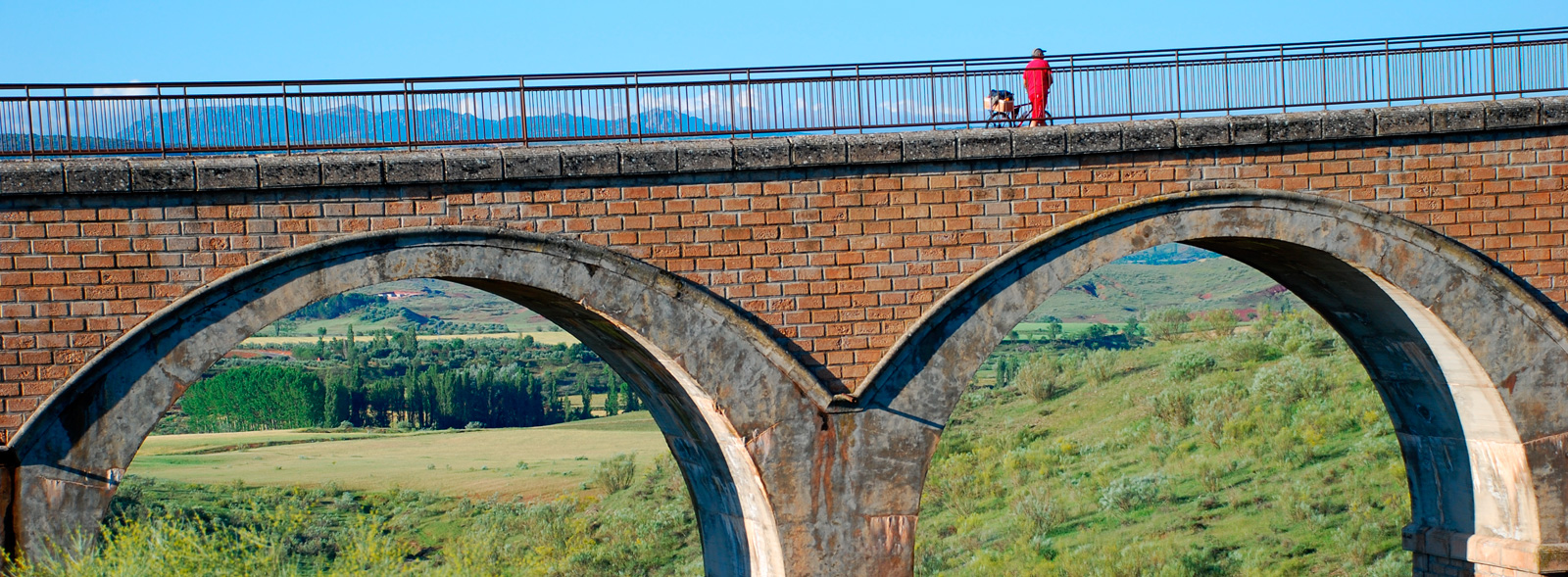
These views end when we enter the route’s almost infinite and shadowy tunnels 16 and 17 before the greenway crosses the Solaletra viaducts: two imposing viewpoints overlooking the hamlet of Solanilla, the town of Alcaraz and the Sanctuary of Our Lady of Cortes, perched on the hillside of this mountain town.
From here begins a continuous and gentle descent until we exit the last tunnel, which marks the end of this greenway section. Before reaching the sanctuary (km 77), we will have to cross the busy N-322 road over another footbridge. From here to the town of Alcaraz there are about 4 km, which we can easily cover along upgraded tracks from the sanctuary lead to the town, which we enter via Avenida de España. Stopping to enjoy this town is a must on this greenway.
Our route ends here. It should be noted that the 16-km section to Reolid Station has not been upgraded and is impassable. However, from Reolid to Arroyo del Ojanco, in the province of Jaén, we have another 46.5 km of greenway to continue enjoying the unborn Linares-Baeza – Utiel Railway. More information is available on this website.


