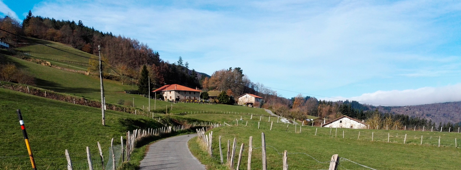
Vasco–Navarro Railway Greenway Nature Trail
Route Description
This long, attractive route features varying landscapes of great beauty. It crosses through cereal-growing plains and mountains, rivers and gorges, leafy forests and charming towns. This singular railway heritage is made up of a series of stations, viaducts, footbridges and tunnels.
But there is even more –the icing on the cake is formed by such emblematic cities as the monumental Estella-Lizarra, which is linked to the Way of St. James, and the green and cultural Vitoria-Gasteiz. It is certainly a greenway that should not be missed.
The suggested itinerary is divided into different sections due to the length of the route, the existence of the long, impassable Laminoria tunnel, the passage through the capital of Álava, and Arlabán Pass, in Gipuzkoa, a section that has not yet been upgraded as a greenway.
SECTION I: From Estella-Lizarra to the Chapel of Santo Toribio via the Antoñana Interpretation Centre.
This route begins in Estella-Lizarra (km 0), undoubtedly a first-rate start. It is a monumental city that epitomises Navarre's varied territory. It will soon also be an outstanding landmark on the Eurovelo 1 and 3 routes.
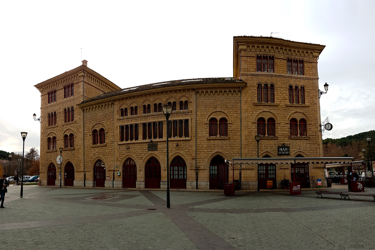
The old station of this city linked to the Way of St. James, the destination and origin of the train known as "El Trenico," marks the beginning of our adventure. The impressive station, which has been reconverted into a bus station, now features a tourist information point, a bar and the Tierra Estella Tourist Consortium.
We have to go along a few streets, following the signposts, and then take the cycle lane to exit the city towards Zubielqui (km 4.5). Before reaching this locality, we have to pass through the first tunnel (150 m), which is curved and illuminated, cross a bridge over the Ega River and cross over 2 roads (be careful!).
It is worth noting that we cannot follow the original railway line between Zubielqui and Murieta, with the busy road being replaced by alternative trails. We therefore have to travel 9.5 km through the municipality of Metauten, at the foot of the Lokiz mountain range and in the territory of the black truffle, an underground fungus that lives in association with the roots of holm and kermes oaks in the mountains.
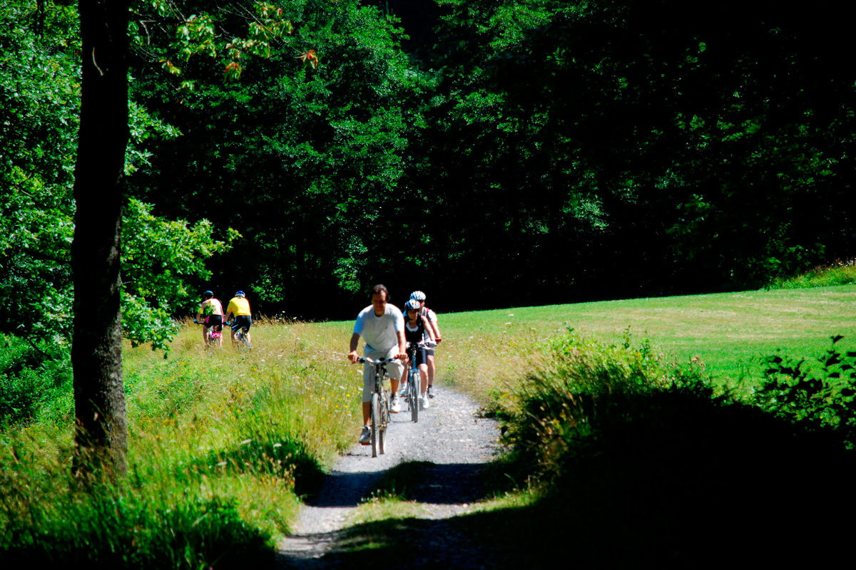
The holm oak grove that we go through, after leaving Zubielqui, makes up for the slopes we come across in this section separated from the railway line. Some have a gradient of up to 7%. We arrive at Zufía (km 7.7) and its rest area before crossing a wooden footbridge over the road to Metauten. We continue as far as Murieta (km 12.7) and its magnificent station. We then go through Mendilibarri and on to Ancín (km 15.5), where we will see a series of attractive railway buildings and have a chance to visit the water tower. A dirt trail starts here that we will have to share with a few agricultural vehicles. We soon come to the original route of the railway and pass by the ruinous Granada halt, surrounded by a landscape made up of a long, fertile plain featuring vegetable gardens, fields of cereals and asparagus crops, before reaching the short Granada tunnel. A series of trenches bordered by holm oaks precedes the viewpoint overlooking the Lokiz mountain range, which is about 22 kilometres long and extends from San Vicente de Arana and Santa Cruz de Campezo to the valleys of Allín and Metauten. It is characterised by a long karstic massif with four aquifers. If features natural habitats that reflect Navarre's biological diversity; its varied vegetation is made up of beech trees, oaks and kermes oaks. Furthermore, we can enjoy a unique experience here if we visit at night, since its starry sky has been certified as a Starlight Reserve 2018. There is even an astronomical viewpoint called "El Trenico," with panels for interpreting the constellations. And that is not all –the section between Estella-Lizarra and Zúñiga is a real "butterfly refuge" where you will find a great variety of species (Old World swallowtail, purple hairstreak, red admiral...). It is easy to see the butterflies and identify them thanks to the information panels.
The route now passes by a horse-riding centre, stockbreeding buildings and a cereal-growing area as far as the former Acedo Station, which is now privately owned (km 21.7). We carefully cross over the road that takes us to Lana Valley (NA-7240). The route of the railway line disappeared in Acedo, so we must now travel along a trail. It is interesting to note that there is a campsite in this locality near the greenway. A landscape of agricultural lowlands and vineyards accompanies us, until a change in the relief announces the entry into one of the route's large tunnels.
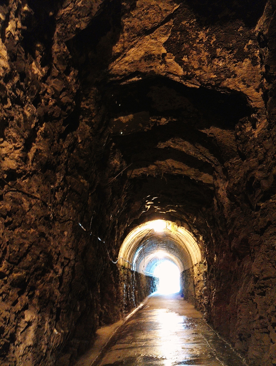
In this rugged terrain, the railway crossed the mountain by excavating the long Arquijas tunnel, an underground passageway that, with its 1,415-metre length, is one of the route's main attractions due to the cold, cavernous sensations that you experience inside it. Although it has lighting, we recommend taking a torch, wearing a forehand lamp or using your bike's lights in case of any technical problems. As a curiosity, it is worth mentioning that this tunnel has a vertical well shaft that links the gallery with the mountain and with alcoves at both entrances, which were made in order to blow up the bridge in wartime.
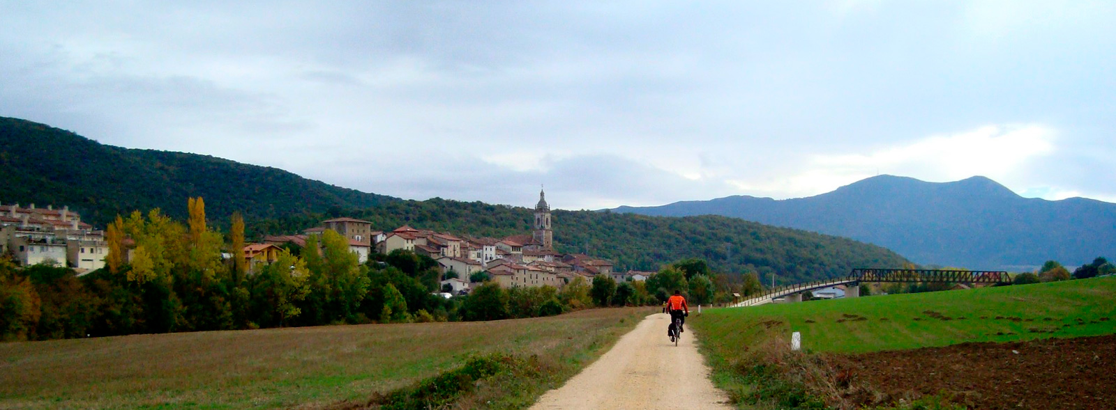
It was not easy for the Basque-Navarre Railway to make its way along mountain slopes covered with holm oaks, oaks, strawberry trees and box trees. Therefore, the railway track, obliged to wind its way, passes through the short Peñón tunnel and features panoramic views of the gorge, the shrine and the Chapel of Arquijas. It then had to excavate a deep, curved trench, at the end of which there is a viewpoint. The route now enters the Arquijas Gorge, which is perhaps the most rugged part of the Navarre section. The icing on the cake is the Arquijas viaduct over the Ega River, with its 9 arches and 30-metre height, a symbol of the Barranco de Lasia Nature Reserve and the eastern end of the Codés mountain range.
We continue as far as Zúñiga (km 26.8) and its ruinous station, which has a rest area featuring enormous London planetrees. This landmark announces the changeover from Navarre's Tierra Estella region to Álava's Campezo Valley, accompanied by a sudden change in the landscape. The wild landscape transitions to farmland from now on.
From Zuñiga to the Laminoria tunnel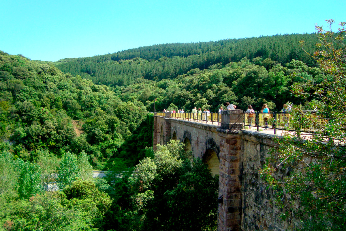
From Zuñiga, a long, straight section, only altered by three level-crossings (be careful!), takes us over the muga or border between Navarre and the Basque Country, a point that has always been known locally as "El Confín."
Do not miss the old engine shed of the Santa Cruz de Campezo Station (km 33), which no longer exists, or what is on offer in the capital of the Montaña Alavesa region, which features outstanding heritage and a chance to get supplies. The greenway then crosses the busy A-132 road via a stylised wooden footbridge. An excellent viewpoint overlooking Fresnedo Park, where the river water is held back to form a large pool and there is a recreational area featuring an extensive lawn where you can relax. Another interesting landmark is the ashlar-and-concrete Santa Cristina viaduct, which crosses the Berrón River. We will soon pass through a deep railway trench, crowned by a flyover arch. We can now see La Muela, an immense limestone mass featuring beech and box groves, with precipitous scarps where an interesting colony of griffon vultures nest.
The greenway now enters a long, straight dirt trail that runs parallel to the dense undergrowth covering the river, surrounded by farmland and gall-oak groves on the southeast boundary of the Izki Nature Reserve.
The route continues along a section off of the original railway line as far as Antoñana Station (km 38.1), which houses Euskotren railway carriages that have been converted into the Vasco-Navarro Railway Greenway Interpretation Centre. An essential stopping point where you can enjoy and learn much more about "El Trenico" and the surroundings. Moreover, a recent remodelling of the loading bay as a cafeteria and bike rental outlet complete the services provided by this key point on the greenway. For its part, Antoñana is a medieval honey-producing centre that should be toured at leisure. From the station, an elegant footbridge makes it easy to cross the A-132 road.
The greenway enters a 2-km-long straight stretch featuring a rest area, San Saturnino bridge and a flyover. The next landmark is La Fuenfría tunnel, built to avoid the landslides of the unstable slope. Accompanied by the coolness of the riverside forest, we continue on to another metallic bridge and a rest area.
Before reaching the Atauri tunnel (km 42.4), the road replaces the railway line and so the greenway again takes an alternative route. We come almost immediately to the Atauri viaduct (105.3 metres long and 8.5 metres wide with 7 arches). It features a striking curved design. The rest area here gives you a beautiful view of the dam holding back the current. The greenway now enters an attractive section along the riverbank. A dirt trail on the right takes us to the cute little Chapel of La Soledad, whose Romanesque apse is still intact.
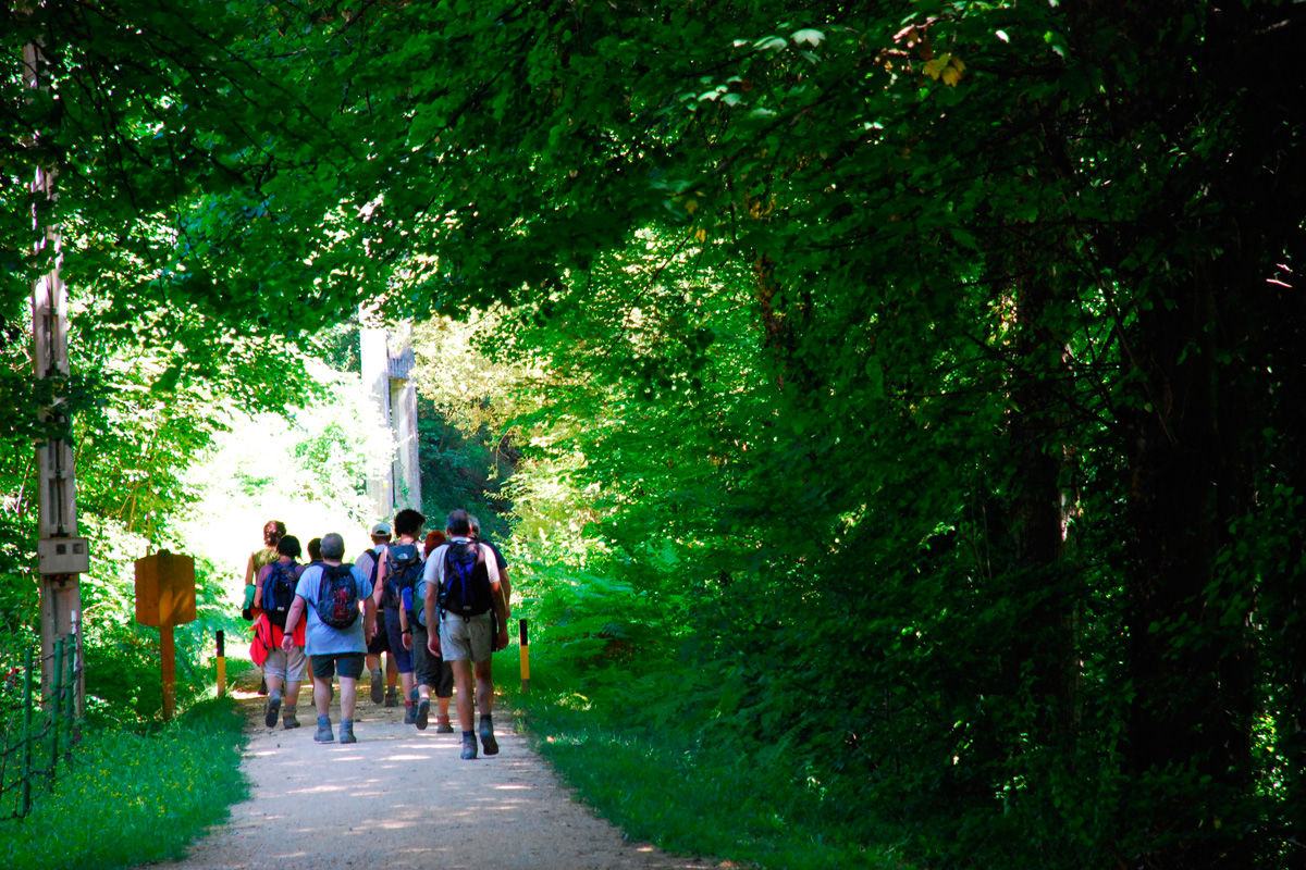
And in Atauri you should not miss the Lucía Mine, a unique natural asphalt deposit nestled in the heart of the Izki Nature Reserve. The Lucía Mine was operational from 1872 to the 1920s and provided asphalt to pave the streets and roads in Vitoria-Gasteiz and Álava, and also in more distant towns such as Madrid or even Paris. It has been open for visits cine 2023, being the only visitable natural asphalt mine in the world along with another in Switzerland. There are guided tours that explain, in an enjoyable and educational way, what it was like to work here.
Since the route was obliged to separate from the railway line, a fabulous footbridge crosses over the road and the river. We are getting close to Maetzu, but not before passing the Zumalde recreational area featuring a picnic spot, natural and artificial pools, meadows and play areas. We cross a bridge over Las Ferrerías Canal and the Peñasalada bridge over the Berrón River, which takes us to the fabulous Maeztu Station (km 45.5), which now belongs to the local council. The cycle lane or "bidegorri" takes us out of this municipal capital, which features numerous services. Going across the bridge of planks over the Berrón River and a footbridge over the road to Cicujano, we say goodbye to Maeztu.
We soon cross over the Leorza-Aletxa (A-4145) road, which gives us the closest views of Leorza and, further back, the rocky pass that hems in the Musito River. We shortly come to the 200-metre-long Cicujano tunnel, which is curved and illuminated. A surprise awaits us inside the tunnel –there we can enjoy the frescos on its walls that imitate the area's native vegetation. On exiting the tunnel, we see the well-maintained halt and, straightaway, a view of the small village of Cicujano-Zekuiano in which the silhouette of its church stands out.
The greenway enters a long, straight section surrounded by mountainous slopes covered by gall-oaks as well as an enormous metallic tube. We are 1.4 km from the entrance to the Laminoria tunnel when we see the obligatory detour to the right. The presence of the Chapel of Santo Toribio (km 48.2) indicates that we have arrived at this point.
The alternative to the Laminoria tunnel
The Laminoria tunnel (2,250 m!) is perhaps this railway's most emblematic project. It goes under the Ullibarria pass that separates the Montes de Vitoria hills from the Montes de Iturrieta ones, connecting the Montaña Alavesa and Llanada Alavesa regions. There are a lot of stories about its construction. It took the teams of workers and engineers, who started working on opposite ends, two years to meet up, but their calculations were almost perfect. There was only a deviation of seven centimetres. It would be an incredible experience to be able to pass through the tunnel...
Unfortunately, this is not possible due to cave-ins, flooding and the high cost of its restoration. In this case, without the tunnel, the alternative 9-km-long route is not easy for cyclists or trekkers that are not in good physical shape, since it is a mountain trail that goes up towards the Gereñu Pass, with gradients of more than 17%. It is well signposted and, although it has nothing to do with the characteristics of the greenway, it adds a touch of adventure and the possibility of extending the Vasco-Navarro Railway Greenway.
Section II: From Laminoria Tunnel to Vitoria-Gasteiz via Estíbaliz
After getting around the impassable tunnel and back onto the greenway, we now begin our descent down to the capital of Álava. We will soon see the ruins of the tunnel house, a building that was used during the construction of this large gallery as the manager's office and accommodation for employees. Later on, it was used to house the maintenance team. This first section features a magical beech grove dotted with oaks, holly trees and bilberries, with areas of sparser and denser vegetation, which displays a wide range of colours in autumn.
We are still in the Montaña Alavesa region. In this area, in order to keep the route straight in such rugged terrain, the engineers designed a series of tall embankments and deep trenches. With the arrival of winter, these tall trenches were a source of problems for the railway's trains. After heavy snowfalls, it took several days to clear the tracks, rendering the line inoperative for more than a week.
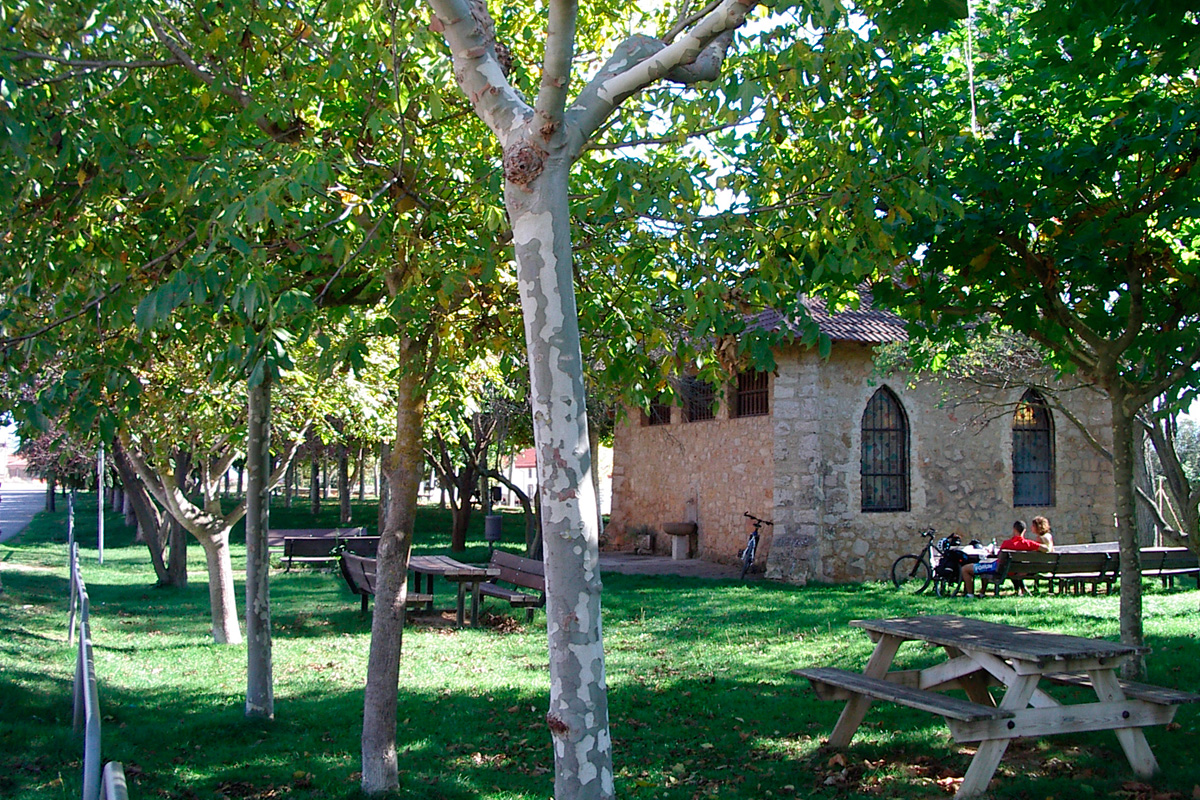
We now come to Ullibarri-Jauregi Station (km 57.6), which is far from the two localities after which it is called. The Rotalde electrical substation still exists, while all that remains of the Gauna halt is the esplanade.
The next locality is Erentxun, where there is not much left of its ruinous station. We then carefully cross the road, in the locality, in order to continue through an extensive area of farmland as far as the route's last tunnel (157 m). This is followed by a straight section through the flat fields of crops that end at the level-crossing on the road, beside the locality of Trokoniz and its small, restored halt, which houses a school.
We are now fully in the Llanada Alavesa region, where farmland will be the greenway's characteristic landscape. Before coming to Andollu (km 66.2), the Estíbaliz branch line appears on the right. In this locality, there is a fork on the railway line. In its majestic station, railway workers operated the switches that directed the trains either towards the main line or towards the steep slopes that the electric railcars climbed up to the Sanctuary of Estíbaliz.
The branch line to the Sanctuary of Nuestra Señora de Estíbaliz
In order to reach Estíbaliz, located 1.5 km away (a 3-km round trip), we have to ascend along a route that includes a couple of bends, in which the greenway enters a deep trench before coming to the platforms of Estíbaliz Station. Before we arrive, we will encounter a trail, which is a good alternative (especially for persons with reduced mobility) that avoids a series of stairs at the end of the Estíbaliz branch line. The terminus of the branch line was conceived as a halt in a cul-de-sac, in which an elegant arcade stands out. The short stairway links the platforms with the sanctuary's car park, where another stairway –quite a bit longer– takes us to the entrance of the Sanctuary of Estíbaliz, a Romanesque gem that houses the patron saint of Álava. Another great opportunity while in Estíbaliz is undertaking the Grand Cycling Route around Álava Plain (a 112-km-long circular itinerary around Vitoria-Gasteiz).
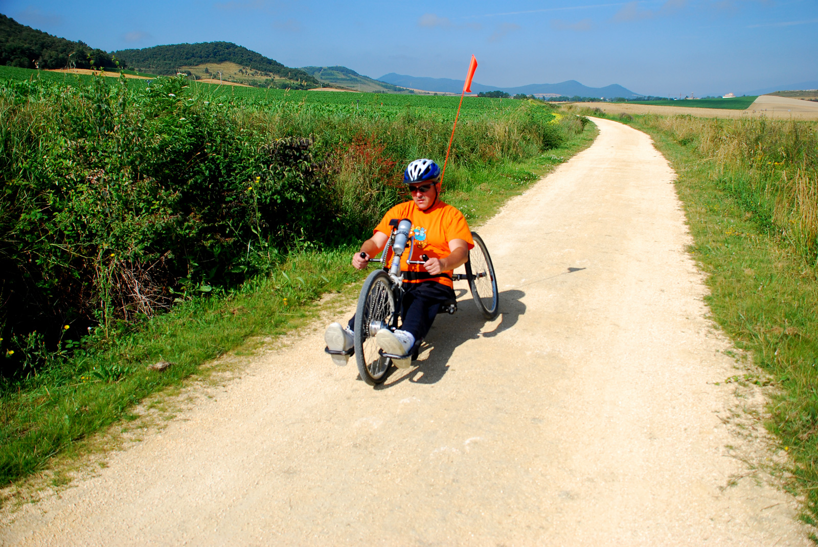
Back on the main route and in the surroundings of Aberasturi, we cross the road to Vitoria-Gasteiz (be careful!) and pass by Aberasturi Station, now privately owned. Before leaving the locality, we can stroll around the streets and contemplate some impressive mansions featuring coats of arms. About 2.5 km from a long, straight stretch through extensive fields of cereals, we come to a rest area and the Otazu halt. We can reach this small village by crossing the spectacular footbridge over the A-3104 road and the Santo Tomás River. We can also perceive the good taste of Alejandro Mendizábal, the chief engineer of the railway's construction and father of the buildings of the Basque-Navarre Railway's stations, in this cute station, whose building looks like a country house with a continuous balcony and porch.
We are now drawing close to Vitoria-Gasteiz, through the plain full of cereal fields, and there is no better way of doing so than by crossing one of the greenway's most outstanding elements: the aesthetic and unique Olarambe footbridge, an outstanding engineering project at the service of cyclists and trekkers. This structure enables us to cross over the road to El Salvador, thereby avoiding a very dangerous crossroads. This landmark indicates that we are entering the capital of Álava via Puente Alto. Nearby is the ruinous engine shed, the only trace that remains of "El Trenico" in Vitoria-Gasteiz (km 76.1).
Section III: From Vitoria-Gasteiz to Puerto de Arlabán
In the city, the former Basque-Navarre Railway line was swallowed up by urban growth. However, the old railway's urban section has been placed by an exceptional route. An excellent network of cycle lanes (bidegorris) and the Green Belt Circuit form a continuation of the greenway through the capital of Álava. Vitoria-Gasteiz boasts –and rightly so– of being a model green, sustainable and bike-friendly city, which made it worthy of being named the European Green Capital in 2012.
The itinerary is signposted and, if you take the Green Belt Circuit in the east of the city, you will pass through the parks of Olarizu, Las Neveras and Salburua as far as Zadorra Gamarra.
The starting point of this final section is located in the north periphery of the city, specifically in the east carpark of Gamarra Park. A sign marks the beginning of this section, whose first 4 km have an asphalt surface as it goes through the agricultural landscape of the Llanada Alavesa region. Rising up before us, dominating all the perspectives, are Sierra de Elgea mountains.
We begin by crossing a concrete bridge over the fast-flowing Zadorra River, then another footbridge and an underpass below the Autovía del Norte (A-1) dual carriageway. This river is the source of the Basque Country's water reserve, a system of reservoirs located at its headwaters.
Shortly after passing the Gamarra Menor neighbourhood, the greenway goes under an impressive viaduct on the AVE (high-speed) railway line. The following landmark is Durana Station (km 83,4), which is now a cycling-themed steakhouse. The greenway follows a straight line as it passes by Retana-Erreteana and its old station. On leaving the locality, there is the possibility of linking up with another cycling itinerary that heads eastwards towards the Ullibarri-Gamboa Reservoir, a wetland featuring great biodiversity. A cycling trip around the reservoir or the Grand Cycling Tour around Álava Plain (112 km) are some other great options near Vitoria-Gasteiz. But let us continue...
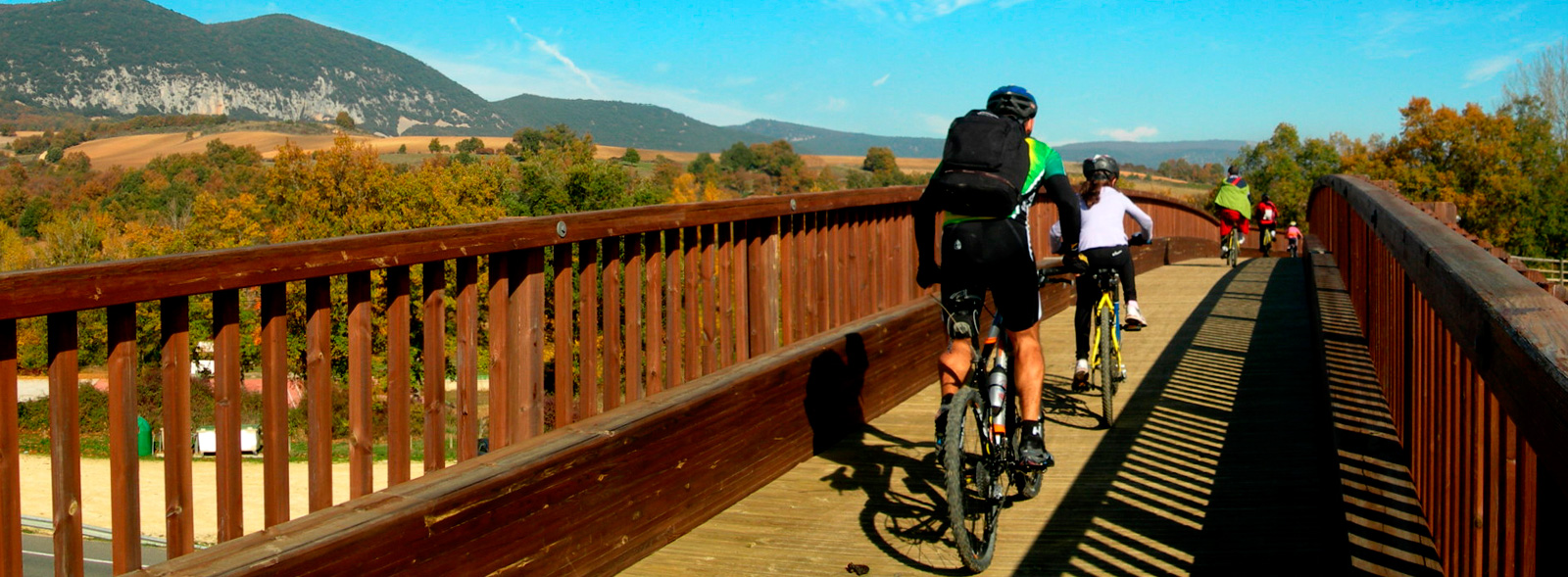
The level-crossing at the entrance to the Amarita neighbourhood (km 85.4) marks the end of the asphalt and the beginning of the compacted-dirt section. In the surroundings, there is a small oak grove beside the Zadorra River, which gives rise to a micro-forest featuring great biodiversity. After passing under the high-speed railway line and the AP-1 dual carriageway (km 87,3), the terrain becomes more rugged where it passes by Arzamendi Palace and at a certain distance from the village of Luko. We pass by Urbina (km 88.9) and its station, whose passenger building is now a private home.
From Urbina to Villareal Station (Legutiano), the high-speed train works have altered the original route of the Basque-Navarre Railway. The alternative route redirects us along the Camino de Bagoeta, a signposted asphalt road with little traffic, enabling us to pass under the AVE (high-speed) railway line and taking us back to the original route at Villarreal Station (now called Legutiano), which has sadly been abandoned.
We now head towards the Sierra de Elgea foothills, where the Santiagolarra oak grove stands out. Surrounded by trees, the greenway arrives at Land Station (km 93.1), whose passenger building has been restored as a social centre. Immediately afterwards, we come to a leve,-crossing on the A-3002 road. The surroundings of this locality feature one of the route's most attractive landscapes, since it passes just a few metres away from the end of Ullibarri-Gamboa Reservoir, a beautiful leisure spot with swimming areas, a children's playground, carpark and restaurants.
The greenway continues along a very attractive section beside the Arlabán stream, penetrating the forest of beech trees, oaks and alders in the Isuskitza and Usokoaitzu hills, which form part of Sierra de Elgea. A kilometre further along, the greenway ends at the muga (border) between Álava and Gipuzkoa, although the dirt trail continues for another kilometre, as far as the restaurant dominating the Arlabán pass (km 96) in the Gipuzkoa municipality of Leintz Gatzaga, located in the former station of Salinas de Léniz/Leintz Gatzaga at km 19.1 of the GI-627 road.
Section IV: The Vasco-Navarro Railway Greenway through the province of Gipuzkoa
 Those who want to link up, from here, with the section of the greenway that runs through the province of Gipuzkoa as far as Mekolade/Bergara and Oñati should know that they will have to travel 8.7 km along the GI-627 road, including some steep hills, to Eskoriatza, since several impassable tunnels prevent the continuation of the greenway. Until this section has been restored (the sooner the better!), we will have to decide whether to continue along the road or end our trip here. In any case, the section of "El trenico" through the province of Gipuzkoa is also recommended, as we explain below:
Several sections of the Vasco-Navarro Railway’s main line in Gipuzkoa have been upgraded as a greenway between the town of Eskoriatza and the industrial estate in the Mekolalde neighbourhood (Bergara). In addition, the 7-km Oñati branch connects the main line of the old Vasco-Navarro Railway with that town. This route has the appearance of a good bidegorri (bike lane) for cyclists and pedestrians, while some sections are shared with vehicles (with and without a separate lane).
Road markings, lighting along the route and in tunnels, tables, benches, litter bins, garden areas, rest areas, children's playgrounds, fountains, railings, an overhang on the bridge in the Zubillaga neighbourhood, and underpasses to cross the roads make this an enjoyable route through the Alto Deba, with everything you could hope for!
The greenway, which more or less follows the course of the River Deba, passes successively through large towns, while we can enjoy contemplating nature in the short interurban sections. It is therefore a symbiosis between urban life and nature: industrial estates and traditional farmhouses, town centres and forests, historic neighbourhoods and the undergrowth of the Deba. But this old railway is also a way to access higher altitudes such as the Léniz Valley and the Aizkorri-Aratz Nature Reserve, as well as the pilgrimage route to the Sanctuary of Arantzazu.
Arlabán Pass
Old stations, halts, tunnels and bridges make up a magnificent cultural and industrial heritage that, thanks to the upgrading of the old route of the Vaso-Navarro Railway, we can become acquainted with, interpret and value. Travelling along this greenway as it runs through the province of Gipuzkoa enables us to grasp the importance and significance that this infrastructure had since it was opened back in 1889, helping to connect as well as socially and economically develop the regions it crossed. Today, it continues to enable us to discover landscapes, places and people, favouring the economic development of the area, from a local and sustainable perspective.
This last stage of the Vasco Navarro could be considered as starting from the green capital of Vitoria-Gasteiz in a northerly direction that, in just 12 km, takes us to Landa, a town near the Ullibarri Gamboa Reservoir; from here it enters the province of Gipuzkoa, reaching as far as the municipal district of Leintz Gatzaga. In Leintz Gatzaga we can take the GI-3310 road to Eskoriatza, where we can start to enjoy the benefits of the greenway.
From Eskoriatza to the turnoff to Oñati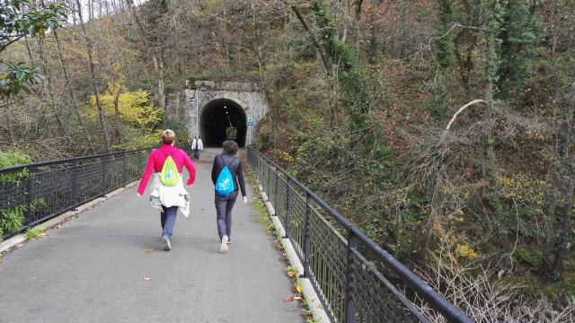
Since passing through Arlabán Pass involves a road section of almost 9 km that involves certain risks (especially if you are traveling with children), we suggest starting this stage in Eskoriatza (km 0).
The greenway looks like a bidegorri (bike lane) at the southern end, at km 0 of the GI-3342 road that goes to the Mazmela neighbourhood (Eskoriatza). From this point we will advance on an asphalt surface alongside the GI-627 road as far as the urban centre of Eskoriatza and from there to Aretxabaleta (km 4) through highly urbanised surroundings.
On leaving this town the surroundings become more natural featuring presence of trees. The road crosses under the AP-1 motorway and enters an industrial and shopping area, a prelude to the town of Arrasate / Mondragón (km 6) where you can enjoy visiting the historic centre, convents and palaces, as well as stocking up on anything you might need. As if that were not enough, Mondragón features a curiosity: the Outstanding Sequoia Tree in Monterrón Park. More than 150 years old, the largest sequoia in Gipuzkoa reaches a total height of 40 metres with a perimeter of more than 6 metres. It is considered the most outstanding tree in the municipal district of Mondragón, despite not being a native species.
On leaving the town more natural surroundings take us to the turn-off to Oñati (km 13). Here we can choose whether to continue for 7 km to Mekoalde and another 7 km to Oñati, or if we do one thing first and then the other, thus adding kilometres to the route.
Continuing to Mekolalde/Bergara
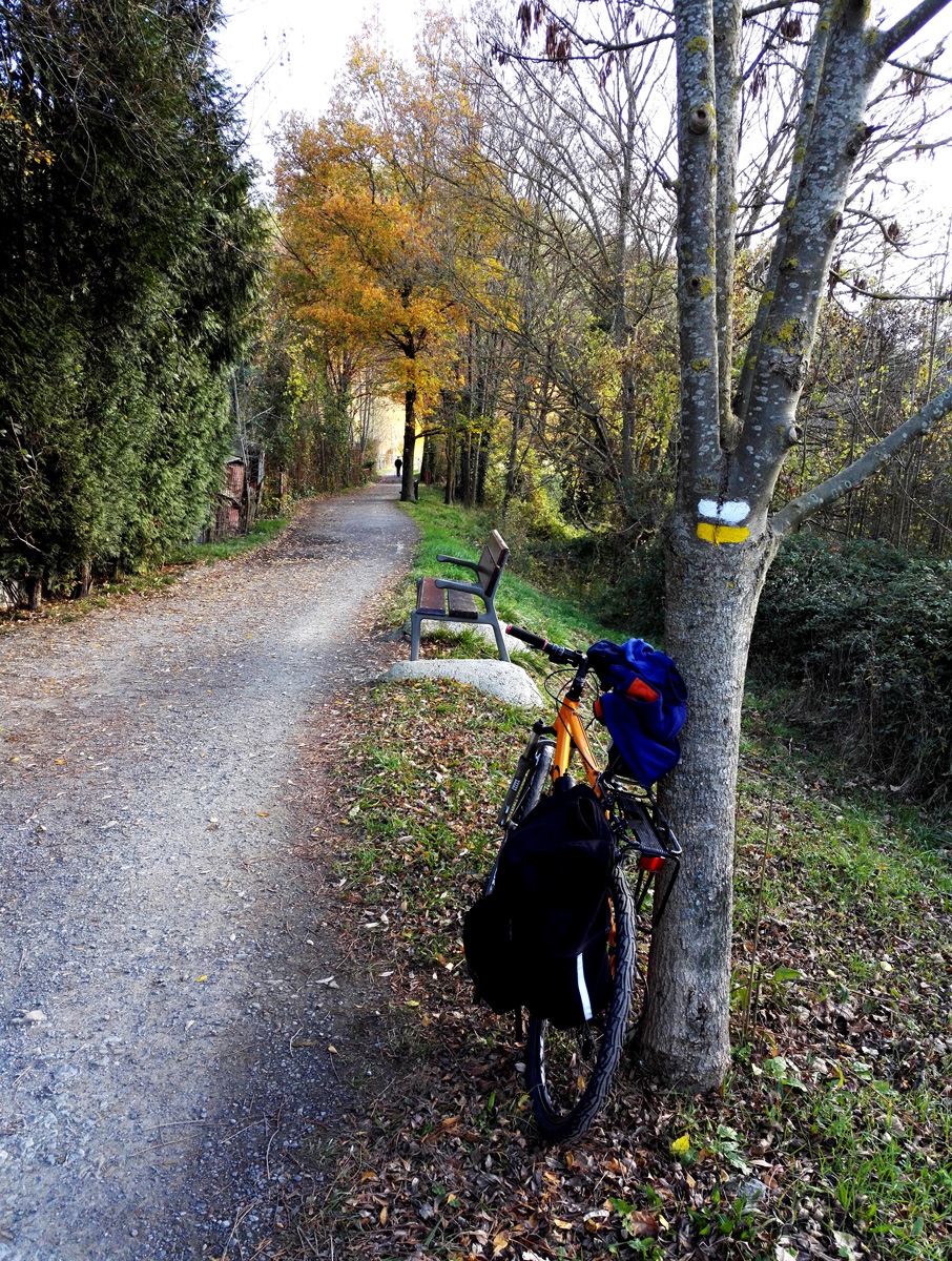 If we continue along the main road, we will leave behind industrial areas and begin to enjoy the surroundings and undergrowth of the Deba, passing again under the AP-1 motorway (km 14), with the presence of the river being more apparent. This will be the case until the vicinity of Bergara (km 18), where another industrial area precedes the town centre. To compensate for so many urban elements, we can visit another outstanding tree in Bergara: the Bergara Magnolia Tree, declared a Nature Site in 1995 within the grounds of Bergara’s Monzón Palace. This tree stands out mainly due to its size, with an approximate height of 26 meters and a crown diameter of 14 metres, rising above the palace next to it.
On leaving the town we can continue a little further until we reach Mekolalde/Bergara (km 19.5), the starting point or end of this railway line that is missed so much by the Basque Country and Navarre’s residents, arrese and Basques, who affectionately nicknamed it "El Trenico," "El Vasco" or "El Anglo."
The Oñati branch
If we decide to explore all the kilometres of this old railway, we cannot overlook the Oñati branch. This branch line enables us to enjoy 7 km along a practically flat bidegorri (bike lane) that runs close to the GI-2630 road. We take this branch at the San Prudentzio roundabout, next to the Elorregi district. At the beginning it is a track that advances through more natural, pleasant and wooded surroundings, where we will again pass under the AP-1 motorway. Then, after passing a series of industrial sites, the greenway takes us to the town centre of Oñati (km 7). From here we recommend visiting the Sanctuary of Our Lady of Arantzazu 9 km away.
Oñati is the most monumental town in Gipuzkoa and one of the most beautiful towns in the Basque Country. Located in the Alto Deba region, at the foot of Monte Aloña, the steep slopes that surround the municipal district hide an exceptional historic centre, marked by remarkable buildings, palaces and churches of great architectural value. Undoubtedly, an exceptional way to end the route.
... And more kilometres along the Basque Railways Greenway
Do you still want to do more kilometres? Does anyone want more greenways around here? Well, the Debagoiena region also features the Basque Railways Greenway. Almost 16 km between Soraluze/Placencia de las Armas and Antzuola that connects with the Vasco-Navarro Railway in Mekolalde/Bergara. This Gipuzkoa greenway is a placid asphalted route alongside the Deba River, made up of the Deba bidegorri (bike lane) and a section, between Mekolalde and Antzuola, somewhat more "mountainous" featuring forests and meadows with wide panoramic views.
