Northwest Greenway Nature Trail
Route Description
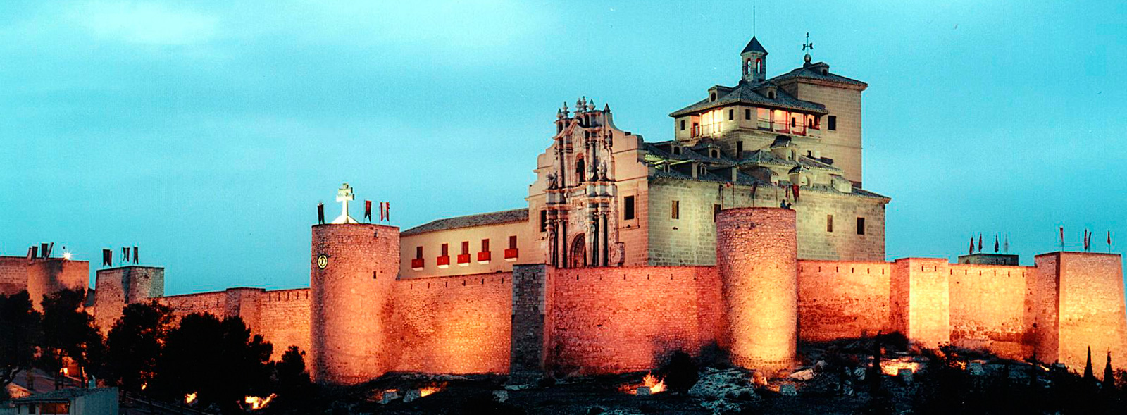
 The route starts in the monumental capital of Murcia and becomes immersed in the Segura River’s fertile plain, thereafter wandering through the lunar landscapes or "badlands" following the Mula River. After the journey through the desert, when it reaches the northwestern highlands, the route brightens up thanks to the green pine groves and almond trees that frame charming villages, before finally reaching the destination, or “heaven,” in the holy city of the True Cross: Caravaca.
Start in the capital of Murcia...
The Northwest Greenway begins at the intersection of Avenida Pío Baroja and the Espinardo Campus ring road, in the northwest corner of the capital city of Murcia, opposite the Claudio Galeno Healthcare Vocational Training College, on the northern perimeter of the Espinardo University Campus.
At km 0, the start of the route, the greenway leaves the capital of Murcia behind. It starts with a moderate ascent through new housing developments, intermittently hidden by immersion in trenches with tall earthy walls. It then continues with a long, curved descent, also featuring large trenches, closely following the Ribera de Molina riverbed through dry and rugged terrain, due to the scarce, but torrential, rainfall.
After exiting the route’s first tunnel (km 3.9) –a straight, 200-metre-long gallery with good lighting– we come to La Ribera de Molina Station, whose warehouse has been converted into a bar. In Ribera de Molina the descent down to the Segura River’s flat plain ends. However, without entering the area of vegetable gardens, the greenway runs through a series of neighbourhoods featuring several street intersections, before bordering entirely the urban area of Molina de Segura and its station (km 7.1).
At the outskirts of Molina (km 7.5), we cross the N-344 road on a zebra crossing controlled by a traffic light (press the button to cross). Next, the greenway –which now has a gravel surface– enters a long and flat straight stretch on the Segura’s left riverbank. The route through Murcia’s fertile region is dotted with sheds and fields with a wide variety of crops. A sharp turn to the left leads us towards the Segura River, whose course is then crossed by an imposing metal bridge (km 9.1) that has been beautifully restored. This is one of the most striking remains of the old railway. On the other bank (the righthand one), there are more vegetable gardens.
In the locality of Alguazas (km 9.7), we cannot follow the original railway route. However, there is a complex alternative itinerary through the urban fabric indicated by means of Nature Trails signs. Small plaques with a maroon background lead us to the old station, which has been converted into a hostel and cafeteria. Here we can cross the Murcia-Albacete railway tracks to continue towards the Mula River in the locality’s west end.
The "badlands"
 At km 12.4, on coming out of Alguazas, we rejoin the railway route. The greenway ascends through soft and whitish terrain modelled by man. The "badlands" landscape has been terraced and planted with fruit trees. After passing the Los Rodeos treatment plant (km 17), the arid surroundings becomes wild. We begin a long "lunar" journey. The fruit trees disappear, and the bare earth dominates a spartan landscape of gullies, wadis and earthy mountains, to which the ruins of Los Rodeos Station (km 19.1) adds even more severity. At a distance we see how the Mula River forms wide meanders, known here as “rodeos,” featuring striking gullies. A wooden fence (km 20.4) blocks the way past the old gatekeeper’s hut on the MU-531 road, which is now private property, forcing us to go around it. Along the slope on the right we come to the MU-531, cross the asphalt and descend alongside road to a bridge. After this, a ramp, on the right, takes us up to the embankment of the old railway route.
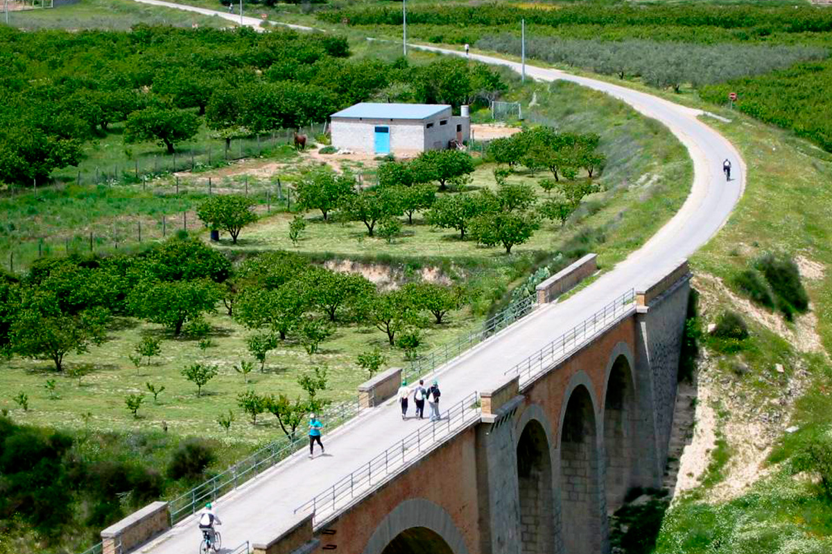
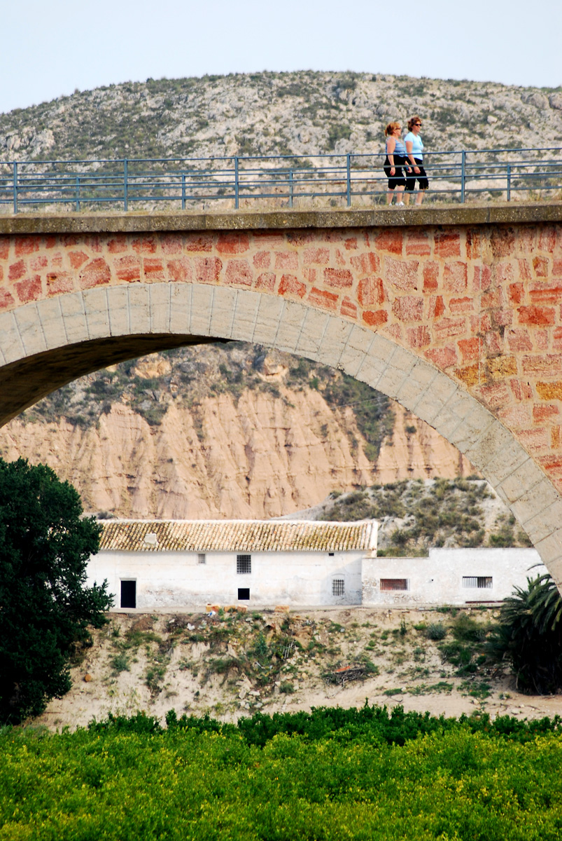
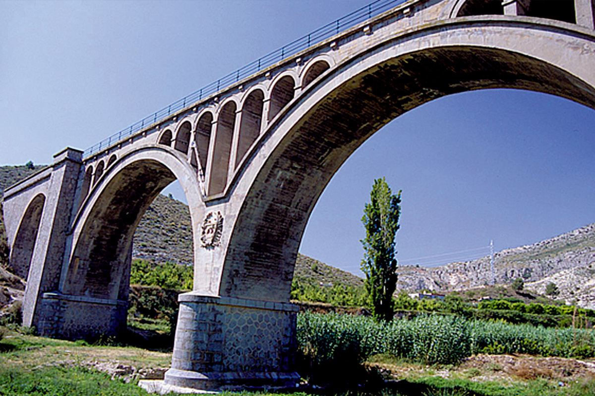
Calle del Ferrocarril (Railway Street), whose name indicates that we are going the right way, enters the locality of Campos del Río as far as new hostel in the old station (km 22.4). The railway’s next section has disappeared. To rejoin it, we have to go along the Albudeite road and turn off onto the ramp that, on the right, passes by the treatment plant tank (km 22.2). Back on the original route (km 22.3), our journey now features a new experience inherited from the train, which adds great excitement to the trip. Large viaducts raised on high arches enable us to fly over deep ravines with steep walls, whose reed-covered riverbeds are the only spots of green in the landscape. On the way to Albudeite, we will cross the first two viaducts over the Gracia (km 24.6) and Arco (km 25.5) Ravines.
The track borders the locality of Albudeite (km 26), passing by the station, which has also been converted into a hostel. After what turns out to be a small break in the landscape of fruit trees, the railway platform rises above the left bank of the Mula River, becoming a magnificent balcony overlooking the riverbed featuring striking gullies.
The crossing of a third viaduct over the Moro or Carrizal Ravine (km 28.3) precedes the ruined station of Baños de Mula (km 29.3). The hamlet that it served, one kilometre (and downhill) from the greenway, is home to a wide range of thermal facilities –simple but very attractive. We soon come across another large viaduct (200 metres long) that flies high over the Rambla de Perea (km 29.6) riverbed.
After passing under the Northwest Dual Carriageway and crossing the local C-415 road –our travelling companion throughout the– we will come to La Puebla de Mula Station (km 32). A little further on, we cross the Mula River (km 32.7) on another spectacular viaduct. The vast whitish aridity that surrounds us contrasts with the bottom of the valley, covered by green vegetable gardens watered by the Mula River.
Going up from Mula to El Niño
At km 34.5 we arrive at the entrance to Mula. From here the C-415 road uses the old railway itinerary as a ring road. We will avoid the asphalt by following an alternative greenway route designed for this purpose, which crosses the industrial estate (be careful at the intersections!). Nearby are the houses of Mula, an ideal point for a stop on the way.
At km 39 we go back alongside the road, on the original railway route. We are now going up to El Niño Sanctuary. The railway route could not be upgraded here so the greenway uses rural tracks that, with the occasional slope, take us to the old El Niño Halt (km 40.5).

When we reach km 40.5, at El Niño, the route starts to go through several tunnels (between 60 and 200 metres long). After the first two, the landscape undergoes a sudden change: we enter an area populated by pine forests, bushes, alternating with farms full of almond trees and other fruit trees, watered by the Mula’s irrigation canals. After two more tunnels (200 metres and 100 metres long, respectively), we reach the La Luz Halt (km 45.2), a small hostel-refuge that precedes another large eight-arch viaduct over the Mula that, after crossing the watershed between the Mula River and Rambla de Codona, brings us to the gates of Bullas (km 52), the route’s highest point (630 metres). From here the greenway begins a gentle, continuous descent to Caravaca.
On the way to the holy city of Caravaca de la Cruz
In Bullas, the case of Mula is repeated: the occupation of the route by the road requires an alternative route (which is signposted) that crosses the urban area at its upper part (there are some ramps). Following the signs, we pass by the La Rafa campsite, where we will come across another new hostel (km 27.4) in a special area equipped with services. This is also a good opportunity to stroll through the monumental centre of Bullas and taste the wines produced by its famous wineries.
We will continue through the cemetery, where we will follow a dirt track that, after descending towards the valley of Los Muleros Stream, heads to the overpass crossing the Northwest Daul Carriageway. After passing under the dual carriageway, we will continue straight along an asphalted track for about 700 metres, and at km 60 a rest area will show us that we are back on the railway route.
After these indications, we reach one of the most impressive places on the route, featuring steep slopes covered by pine forests, where we will come across the spectacular viaducts over the Burete Stream (km 66) and Quípar River (km 68.7). A few meters before reaching this last viaduct, on the edge of the road there are the ruins of an ancient Visigothic city, Deitana Begastri, forerunner of the present-day Cehegín, which is being revealed thanks to the excavations carried out.
After crossing the C-415 road again (km 70), we arrive at Cehegín. Its station, located at km, 70.4, also features a hostel and restaurant. From this area we have the opportunity to go to the centre of Cehegín and visit this historic-artistic ensemble full of monuments from the 15th to the 18th centuries.
At km 72, we leave this town behind. We will soon cross our route’s last tunnel (km 72.9) and the viaduct over the Argos River (km 73.4). From here, the greenway continues without any obstacles as far as Caravaca de la Cruz, making a triumphal entrance to the town through a leafy grove until it reaches the old railway station, at km 76.8. This is the last stop, which, as we would expect, is also now a new hostel with a small canteen. Caravaca de la Cruz is one of Christendom’s five holy cities and has the honour of celebrating a holy year every 7 years in perpetuity.


