The 40 Days Train Greenway
Route Description

A branch from the Tajuña Greenway
The start of the 40 Days Train Greenway, built by the Madrid Reach, can be reached in two ways. One way is on foot, by bicycle or wheelchair along the Tajuña Greenway, a route that it links up with, amounting to about 83 kilometres between them. Another way to get there is from Carabana, an agricultural town known for its healthy waters. At the foot of the M-204 road, we can see the facilities associated with the former exploitation of such a saline liquid: the spa, the bottling factory, now a youth hostel, and the aesthetic Chávarri Power Station on the site of what used to be a flour mill. Once we get to Carabaña, the road that heads towards Estremera takes us across, just 200 metres from the town centre, the Tajuña River via a historic 16th-century bridge. Immediately thereafter, we reach the lane of the Tajuña Greenway. After taking the latter (to the left of the road), 300 metres further on we will see how the asphalt that identifies this greenway’s surface splits into two. The left lane, the Tajuña Greenway itself, continues its way through the fertile plain after which it is called as far as Ambite and the Guadalajara area; the right lane is the 40 Days Train Greenway, which begins with a steep slope. Halfway up the climb, the track turns sharply (to the right) and links up with the original route of the 40 Days Railway.
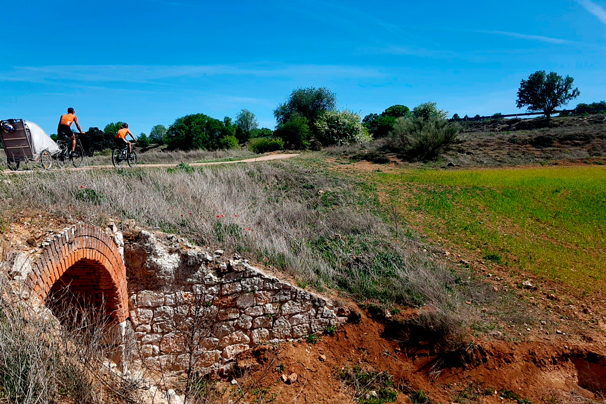
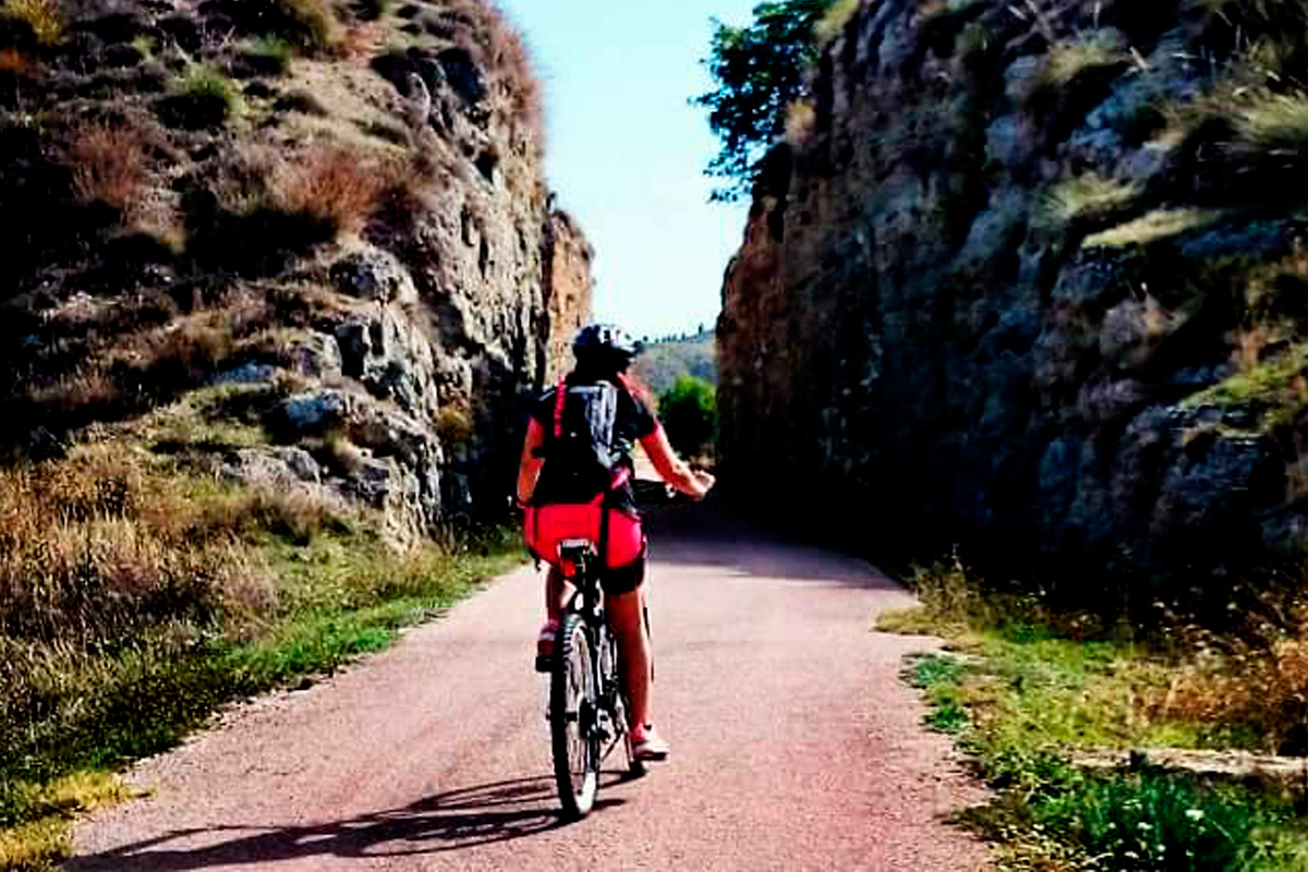
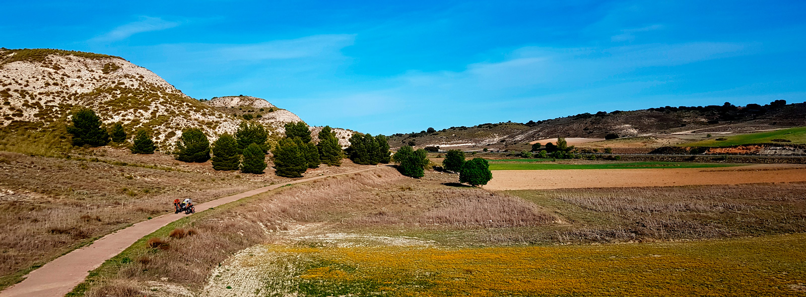
 Following a clear uphill trend, the greenway in question begins its journey along the mountainous slopes that enclose the fertile plain of the Carrizales, a small, temporary stream characterised by reedbeds and deciduous trees, which winds through cereal plots, vineyards and orchards. We find ourselves in front of a rough landscape of solitary beauty, ever awaiting for spring to dress it in its best clothes and surprise us with aromas and flowers. In order to prosper in such irregular terrain, the railroad was forced to dig a series of high trenches, which were cut out of the hills of soft marl, limestone, clay or gypsum, exposing the varied colours and brightness of the earth's bowels. And if it’s a sunny day, the most appropriate gesture is to reach out to touch, in the trenches, the sparkling mirrors of the crystallized plaster. We come across the most spectacular one before reaching km 2 –a real geology lesson in the middle of our trip!
And as if that were not enough, these trenches are the nesting sites of birds that take flight at sunset, offering trekkers or cyclists a spectacular moment. When the silhouette of the Church of San Juan Bautista appears on the horizon (km 3.5), the greenway joins the M-221 road and separates from the road to Valderacete. At km 4.5 the road moves away from the greenway.
With silence having been restored, the red lane continues ascending up the Carrizales’ fertile plain, which is now wide and gentle, having been domesticated by ploughing and cereals, featuring small, thriving patches of pines and holm oaks. The only movement is that of the partridges and rabbits.
Before reaching km 6, we find across the greenway’s only rest area. At the underpass at crosses the M-221 road (km 7), the fertile plain of the Carrizales Stream comes to an end. The slope, too steep for the railway to handle head on, forced it to make a 180º turn. Due to this manoeuvre, the route takes us out of the fertile plain into an open landscape dominated by cereals.
On the way down to Estremera
A little further on, we will take a level crossing over the M-222 road –please be careful! Here is where the Valderacete road, the greenway and the Cañada Real Soriana Oriental Nature Trail, a transhumant cattle route featuring several interpretation panels, converge. This can be a good place to stop and rest.
Then the route plunges into a long trench excavated out of reddish clay. In this trench we overcome the watershed once and for all, going from the Tajuña Valley to the Tagus Basin, from the tributary to the confluence, from the ascent to the continuous descent.
The undulating countryside that runs down to the Tagus depression alternates with an olive grove that stretches as far as Valderacete, the former Val Der az Záit in Arabic, which means the "valley of the oil house." At km 12, the route reaches the M-221 road. The original railway route, which has not been upgraded, crosses the asphalt and becomes a rural road. On the other hand, the current greenway, with its comfortable surface, continues descending alongside the road, surrounded by olive groves and rainfed crops. Two kilometres further down (km 14), this route ends in the small town of Estremera, very close to the regional border with the Castile-La Mancha Region. This locality is comfortably and safely accessed via the area of the sports facilities and municipal swimming pool.


