Manacor-Artá Greenway
Route Description
 Between the towns of Manacor, the dynamic capital of the east, and the town of Artà, bordered by the Península del Llevant Nature Reserve, the east Majorcan greenway is a unique route full of well-combined contrasts: the authenticity of inland, natural sites of great attractiveness and access to magnificent beaches with a wide range of tourist attractions.
Towards the landscape of traditional Majorcan countryside
The Manacor-Artà Greenway begins at the eastern boundary of Manacor. We will reach km 0 by taking the road to Cala Ratja (MA-4100) as a reference point. We can park next to a hypermarket that also gives us an opportunity to stock up for the excursion.
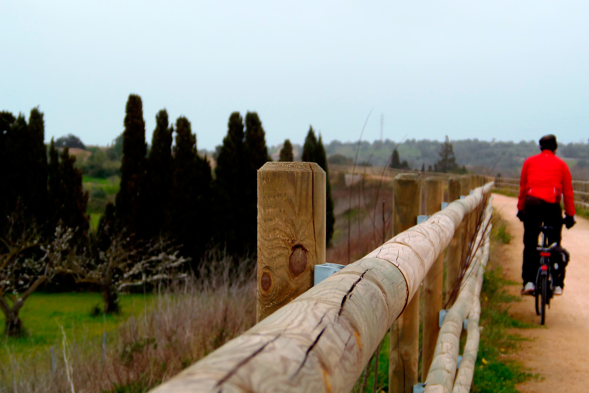
At the beginning, the greenway runs through a landscape of green or golden expanses, rows of carob and almond trees, a variety of vegetable gardens, poultry yards and sheep grazing freely. This is the traditional Majorcan countryside, which provided sustenance before the manna of tourism.
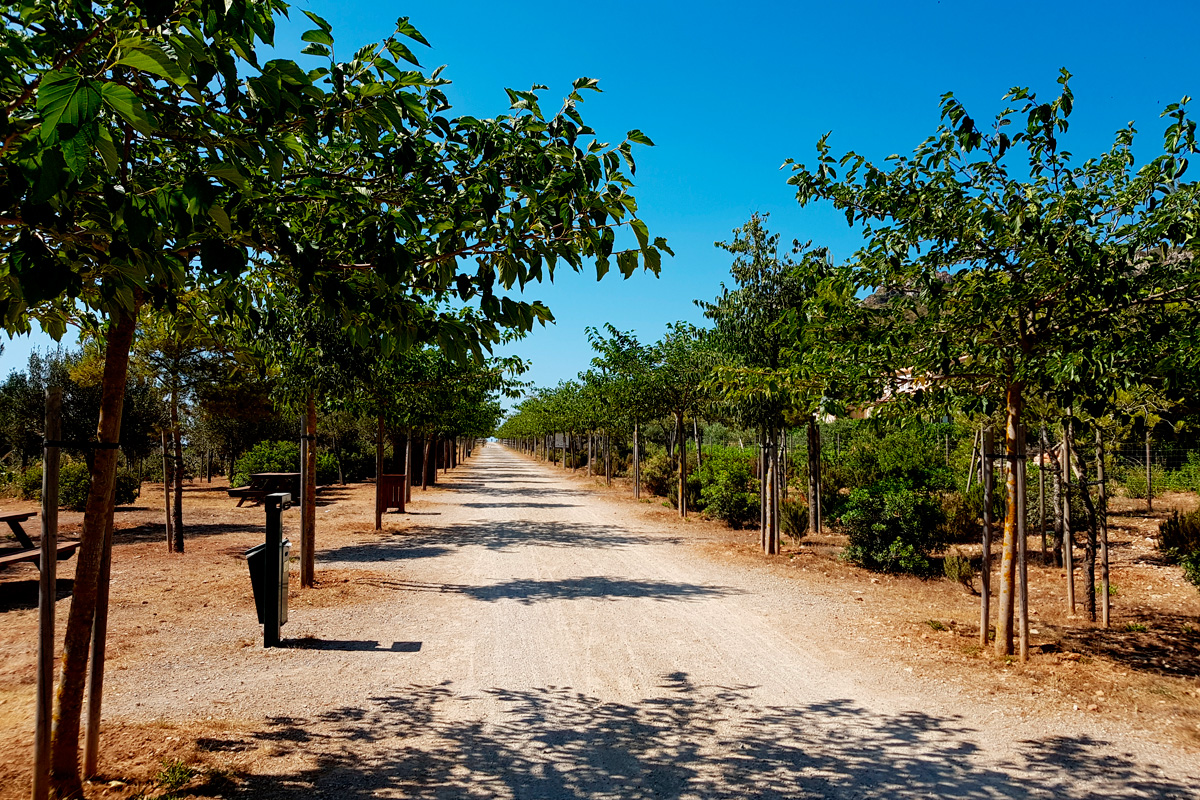
This treeless section, which is really striking in spring, has undergone a great deal of reforestation. Rows of pines, holm oaks, wild olive trees, tamarinds, banana trees and mulberry trees border it almost from beginning to end. We will also find a site of cultural interest: the early Christian basilica of Peretó. A turn-off to the left leads to the parallel MA-15 road. The remains of its foundations are located on the other side of the asphalt, very nearby. Be very careful when crossing the busy road!
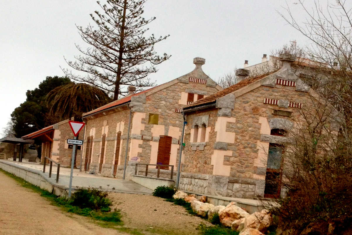
A magnificent viewpoint on an embankment overlooking Sant Llorenç des Cardassar announces the end of this section of long straight stretches. The viewpoint is followed by the short tunnel of Sa Cova (59 metres). After it we come to Sant Llorenç Station (km 7.8). This is the first of a series of stations built in the same style. Rectangular buildings with masonry walls and a beautiful modernist air thanks to the stone details that crown the roofs and facades. The main passenger building, managed by the town council, houses a bar-cafeteria and a space for cultural activities. There is also a children's play area.
At the foot of the station there is the Ses Planes Stream, followed by the village dominated by its church and, in the background, the distant, pine-covered mountains. We leave Sant Llorenç behind, surrounded by orchards of carob, orange and almond trees. Halfway to Son Carrió the terrain becomes rugged, featuring small hills covered with remnants of Mediterranean forest. The route becomes curved and the borders greener with mastic trees, wild olive trees, tall Aleppo pines, holm oaks and carob trees.

After regaining its straightness, the old railway crosses the Ses Planes Stream. The bridge is a unique case: it features magnificent "balconies," crowned by bright machicolations, which enabled pedestrians to protect themselves from passing trains.
Further on there is a large, modern building that would have served as a depot in the failed Manacor-Artà train-tram project. It now houses a railway museum (see box in this guide). On the outside, a vandalized train featuring multi-coloured graffiti stands out. It is really impressive; even more so when we discover that its condition and exile is the result of a railway accident, with one of its sides being bashed in.
A little further on we come to San Miguel Station (km 11.4), whose façade continues to bear the old name of president-day Son Carrió. This station, which is the most modest of them all, now houses a tourist information point.
Son Carrió is a small village with a lot of rural charm, featuring bakeries where you can buy its renowned, typical "panades" or "cocas" of different flavours. We can reach the village centre, just a stone's throw away, by heading away from the cemetery along the asphalted S’Estació Street. The street goes down to the bridge over the stream and ends in front of the beautiful neo-Romanesque façade of the Church of San Miguel, whose windows are adorned with colourful stained-glass windows.
On the way to the sea...
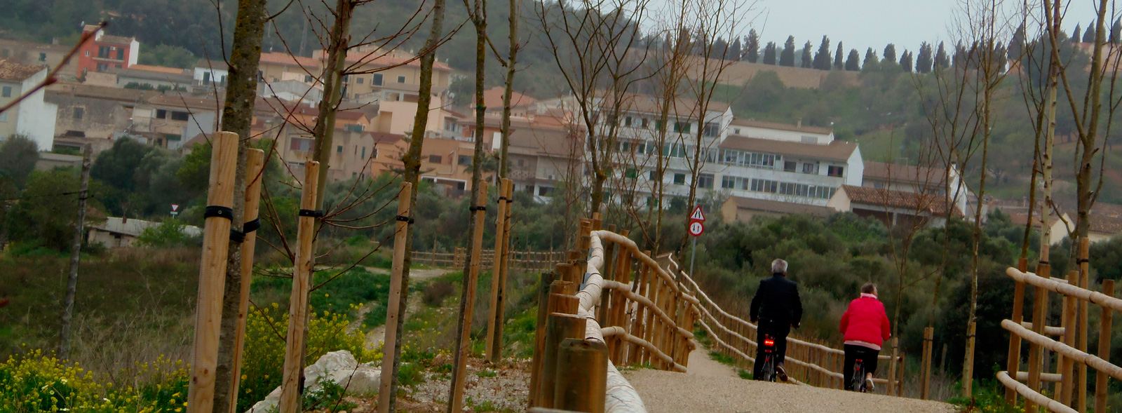
The greenway leaves Son Carrió behind along a straight embankment that, raised up over orchards of orange and almond trees, features a magnificent panoramic view of the village and the church. The section between Son Carrió and Son Servera is the flattest and most coastal of the route. It does not reach as far as the beach itself, but it passes by very close to the coast, running parallel to it, providing from its privileged location extensive seascapes that range from the beaches of S’Illot to the Costa de los Pinos.
A little further on, the greenway takes a wide railway bend to avoid the Atalayas mountains, whose tree- and shrub-covered slopes descend gently towards the coast. This natural setting features charming, detached homes in the traditional style.
The bend towards the Atalayas takes us into Sa Punta Tunnel, escorted on both sides by two rural hamlets (Sa Punta and Torre Nova). The stone-lined gallery features good visibility. After the tunnel there is another straight section, where, for the first time we can enjoy extensive, clear seascapes. From right to left you can see the beach of Sa Coma, Punta N'Amer and Cala Millor. Even from here it is a spectacle to see the waves breaking, on stormy days, against the cliffs of the Punta N'Amer Nature Reserve.
 The greenway once again takes a wide railway bend to avoid Na Penyal, a mountain of interest standing in front of the sea. As a curiosity, it should be noted that, during the Spanish Civil War, a halt was built in the vicinity to serve a coastal battery of four cannons located in Na Penyal. Here we have magnificent views of Cala Millor –this is the closest the greenway gets to the beach.
The old route, surrounded by housing estates, crosses several asphalted tracks that descend towards the Porto Cristo road and the coast –a real temptation to leave the greenway in pursuit of the beach. It may be difficult to resist but the best thing to do is to use the bike lane that will appear later, in Son Servera.
In the straight stretch leading to Son Servera, after passing a long trench, the panoramic views are once again magnificent. Now you can see in detail Cala Bona and the Costa de los Pinos, the coastal end of the Sierra de Sant Jordi.
At the entrance to Son Servera, the greenway leads to the bike path that goes from this village to the beach of Cala Millor (2.5 km away) next to the MA-4026 road, where it connects with another bike lane that runs along the entire promenade of the Bay of Son Servera (from Punta N'Amer to the Costa de los Pinos). If you intend to go to the beach, this is the most comfortable and safest access to reach the sea. Logical warning: the return journey will involve an uphill effort.
Continuing along the greenway we reach a park with tables, a bio-healthy circuit, children's games and a fountain located at the entrance to the village centre of Son Servera. A few metres higher up at a roundabout is the bike path that continues towards the village centre, which is a very good option if you want to enjoy its cuisine or visit the open-air “Iglesia Nueva” (New Church) –highly recommended!
Our greenway crosses the road on the right by means of a cycle path above the roundabout, advances along a long, straight section and reaches Son Servera Station (km 19), where there is a bicycle rental outlet.
After a long time on flat ground, the greenway descends along an embankment overlooking agricultural fields in a peri-urban section that ends at Son Sureda Tunnel (80 metres), which crosses Puig de Son Sard, a hill that is tinged with yellow scrubland in spring. Once you have passed the tunnel, a long upwards section of great scenic attraction begins, where different and magnificent panoramic views of the Sierra de Sant Jordi pine forest follow one after another.
After crossing the MA-4041 road (km 24.6) and the rest area at km 25.2, the greenway approaches Artà through a wide open and flat space dominated by cereals, fruit trees, livestock, vegetable gardens, and scattered rural, stone houses. On the horizon you can already see the Sanctuary of Sant Salvador and the parish church rising above the Artà rooftops. On entering Artá, you cross the track that leads to the Talaiotic settlement of Ses Païsses, and a street that still features a level crossing barrier next to the depots of the old train now used as a club-cafeteria. Finally, we reach Artà Station (km 29), located below the maze of narrow, labyrinthine streets that make up the village centre. The station complex is the most important on the line. It features a large two-storey passenger building, which has been restored and converted into a craft and information centre and a bike rental outlet. In addition, there is also a warehouse, toilets, coal depot and water supply, among other railway elements.


